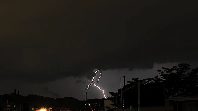





More thunderstorms and flash flooding are possible in the Philadelphia area today as meteorologists track precipitation and wind trends in our area.
According to the National Weather Service, isolated thunderstorms are possible Tuesday, with the highest risk taking place in the afternoon and evening along and South of I-78.
The primary weather threat? Damaging winds, the NWS said.
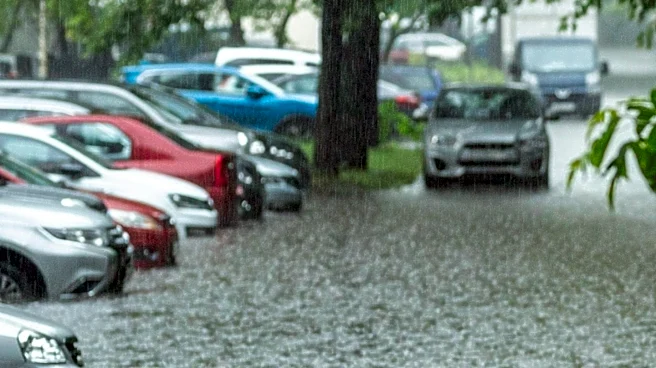
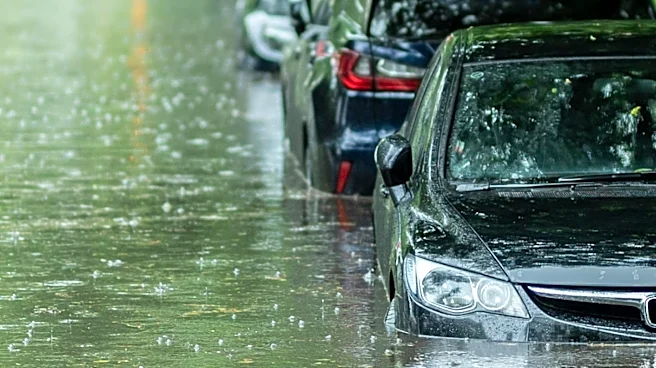
Urban areas and neighborhoods near bodies of water like creeks and streams should also prepare for a flash flood risk Tuesday into Wednesday.
As of early this morning, mainstream river flooding was not forecasted.
Kaitlyn McCormick is a Philadelphia-based reporter writing all things trending, breaking and city-related for USA TODAY's Philadelphia Metro Connect Team.
This
article originally appeared on USA TODAY: Isolated storms, potential flooding continue into Philly this week