
The Atlantic finally has a new tropical storm; however, this one poses no immediate threat to land.
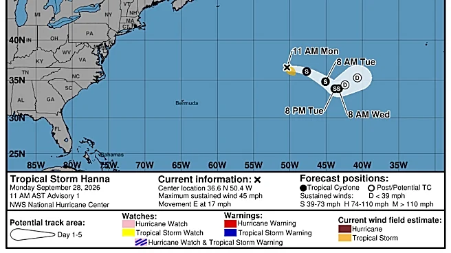
Tropical Storm Hanna formed in the central subtropical Atlantic Ocean on Monday, Sept. 28, according to the National Hurricane Center. The storm is currently 870 miles east-northeast of Bermuda with maximum sustained winds near 45 mph with higher gusts.
Forecasters said Hanna is moving toward the east at around 17 mph and an east to east-southeast motion is expected over the next few days. Hanna is not expected to strengthen much, if at all, in the coming days, the hurricane center said.
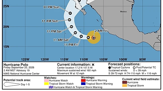
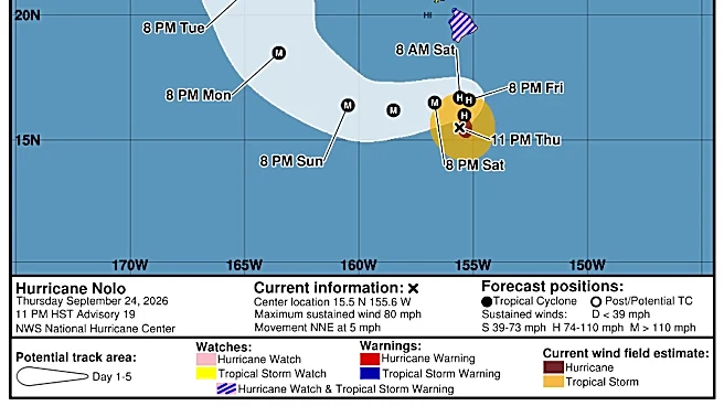
Only seven tropical storms have formed in the Atlantic, while 18 tropical storms and hurricanes have formed in the Pacific. In a normal year, the Atlantic and the eastern
Pacific hurricane basins see similar activity, with 14 to 15 named storms, including seven to eight hurricanes by the time the season ends on Nov. 30. This year, the Atlantic hasn't yet produced a single hurricane, while the eastern Pacific has already produced eight.
What's interesting about this season is that a few of the storms that have occurred in the two basins originated in Africa and were influenced by the same powerful climate phenomenon, El Niño. But the results have been very different, with fierce hurricanes in the Pacific and unremarkable tropical storms in the Atlantic.
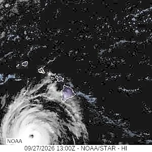
Meteorologists and climate scientists have closely watched the progression of these tropical waves and storms from their origins to their final destination using a fleet of satellites operated by the National Oceanic and Atmospheric Administration. More than 60 years after satellites began helping observe hurricanes, they are still learning more about how and where tropical waves begin and how they develop and move. They watch as waves form in the Ethiopian mountains, over the Sahara or off the African coast, and then track them across the Atlantic and sometimes well into the Pacific.
This summer, there hasn't been a lot to see in the Atlantic. Tropical waves that do appear are being disrupted by shearing winds related to El Niño. When Tropical Storm Gonzalo formed in the Atlantic on Sept. 25, it was only the season's seventh named storm, and it formed three weeks later than typical for the storm named with the letter "G" each season.
Tropical Storm Hanna path tracker
This forecast track shows the most likely path of the center of the storm. It does not illustrate the full width of the storm or its impacts, and the center of the storm is likely to travel outside the cone up to 33% of the time.
Tropical Storm Hanna spaghetti models
Illustrations include an array of forecast tools and models, and not all are created equal. The hurricane center uses only the top four or five highest-performing models to help make its forecasts.
Contributing: Dinah Voyles Pulver & Jennifer Borresen, USA TODAY
Gabe Hauari is a national trending news reporter at USA TODAY. You can follow him on X @GabeHauari or email him at Gdhauari@usatoday.com.
This article originally appeared on USA TODAY: The Atlantic finally has a new tropical storm. Track Hanna