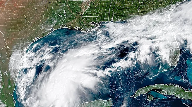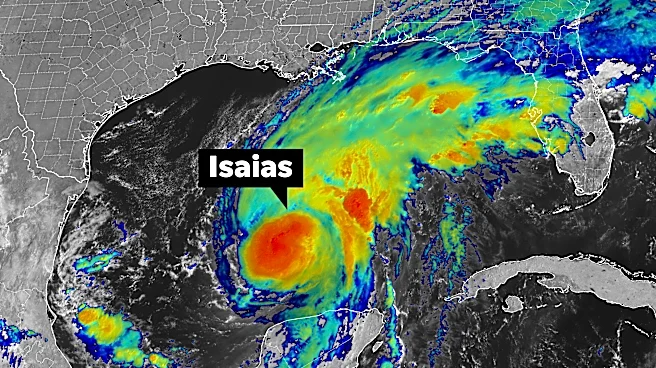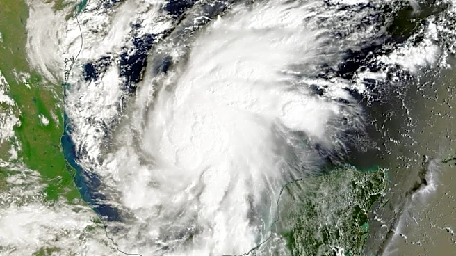




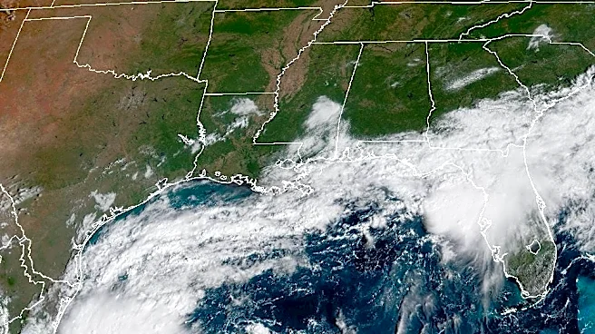
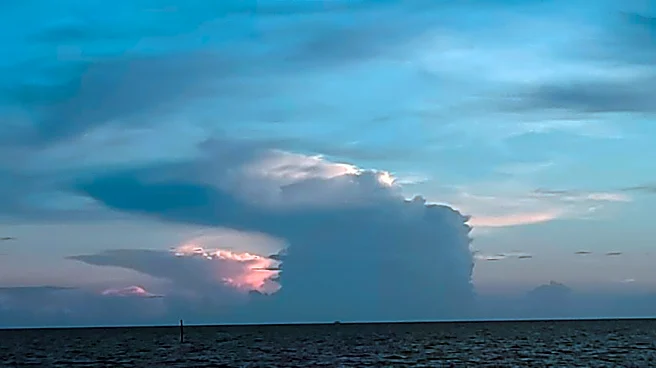
Hurricane Isaias continued its path toward a landfall later Friday or overnight along the U.S. Gulf Coast, as much of the Southeast braced for a direct hit from the "dangerous" Category 2 storm, now packing sustained winds of 110 mph and likely to continue intensifying to a major storm.
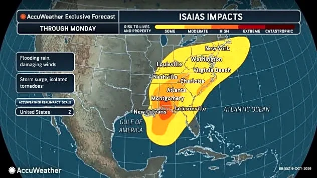
The storm will bring life-threatening storm surge, damaging winds, flooding rain and a chance of tornadoes to the Southeast later today and Saturday.
"Preparations should be rushed to completion as the weather will go downhill quickly today," the hurricane center announced early Friday morning.
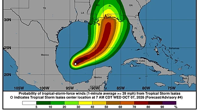
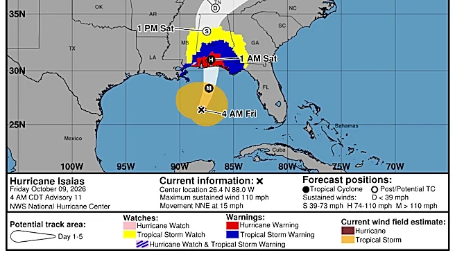
The center of Isaias is forecast to be roughly 30 miles south of Pensacola Beach, Florida at 7 p.m., according to a National Hurricane Center bulletin. Landfall – when the
center of the storm moves over land – is forecast to take place a couple of hours later somewhere between Mobile, Alabama, and Destin, Florida.
At that point, the center of Isaias is forecast to have sustained winds of 100 mph, with higher gusts. Hurricane-force winds extend outward up to 30 miles from the center and tropical-storm-force winds extend outward up to 185 miles, the hurricane center said Friday morning.
As of 5 a.m. ET, the center of Isaias was 320 miles south-southeast of the mouth of the Mississippi River, and moving to the north-northeast at 15 mph. Isaias is forecast to briefly reach Category 3 status during the day on Friday, with winds of up to 120 mph, then weaken before landfall.
Isaias is the first hurricane of the 2026 Atlantic hurricane season, and forecast to be the first to strike the United States since Hurricane Milton, two years ago to the day in 2024.
How strong will Isaias be at landfall?
06:49 AM ET, October 9 2026, Jeanine SantucciHurricane Isaias has continued to gather strength as it moves across the Gulf toward U.S. landfall. Forecasters have upped their expectations for the storm's peak maximum sustained wind strength, which will likely come later in the day Friday. It should continue intensifying for the next 12 hours or so, the hurricane center said.
Isaias' winds could reach 120 mph with higher gusts, making it a major hurricane. A major hurricane is defined as a Category 3 or higher, with maximum sustained winds of at least 111 mph.
After reaching its maximum strength, Isaias should weaken some before it hits land. Exactly how much may depend on the wind shear it encounters on its final approach. The best forecast calls for a high-end Category 2 storm at landfall, the hurricane center said.
"Regardless of its exact wind speed at landfall, Isaias will be a dangerous hurricane with significant storm surge, damaging winds, and flooding rains," the hurricane center said in a forecast discussion early Friday morning. "After landfall, gusty winds are expected to reach well inland over portions of the southeastern United States."
This article originally appeared on USA TODAY: Dangerous Hurricane Isaias approaches: Landfall expected tonight