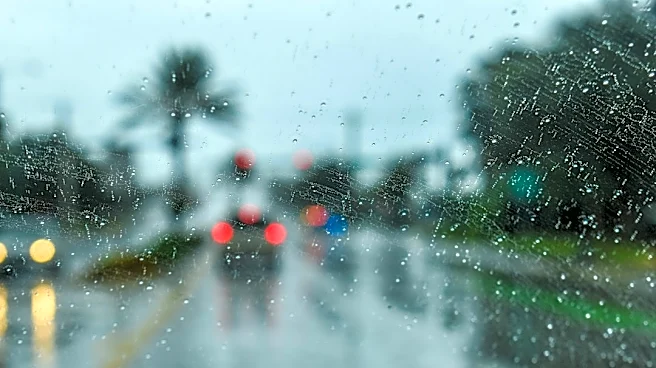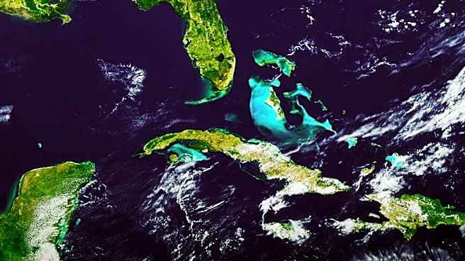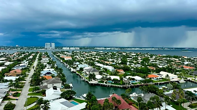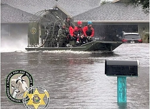

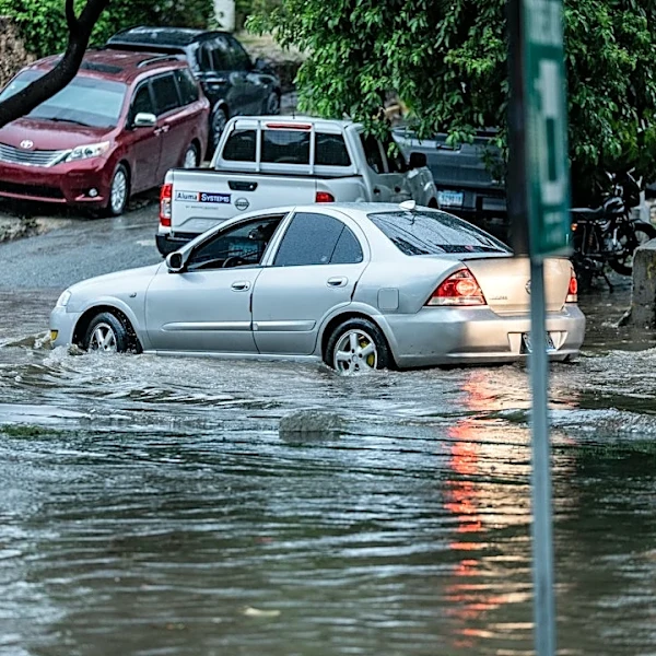

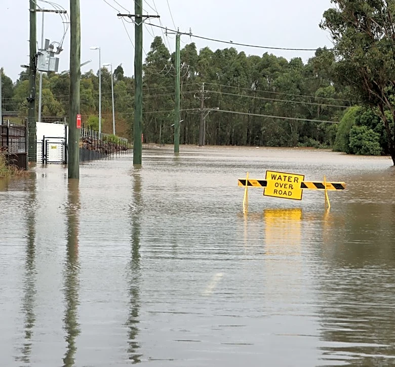

VOLUSIA COUNTY, FL – The skies opened across eastern Central Florida as November arrived, bringing between one and two feet of rain, triggering catastrophic flash flooding, emergency rescues and the relocation of precincts in more than a half-dozen counties as voters head to the polls for Election Day.
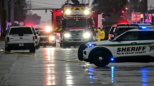
Sheriff's deputies and firefighters conducted rescues and evacuations in parts of the region. State wildlife officials also assisted with rescues, taking to flooded areas via airboat. The rain forced school closings on Nov. 2 and again on Nov. 3, reported USA TODAY Network properties across Central Florida.
Florida Gov. Ron DeSantis declared states of emergency in seven counties: Brevard, DeSoto, Hardee, Highlands, Indian River, Martin, and St.
Lucie.
Over 36 hours, 24.1 inches of rain fell in Malabar in Brevard County, on the state's Space Coast, the National Weather Service reported. In Melbourne, the 11.03 inches of rain by 5 p.m. on Nov. 2 broke the all-time daily rainfall record for the station.
For some locations, the weather service reported the stunning rainfall was a one-in-1,000 year event, meaning there's a 1-in-1,000 chance of that much rain falling in any given year at specific locations, according to Florida Today, part of the USA TODAY Network.
And the rain isn't over yet. A forecast for the east Central Florida region indicated up to an additional inch of rain is likely on Nov. 3, with a 5% - 10% chance of up to 2.5 inches of rain. The forecast prompted a flood warning for portions of Brevard, Indian River, Martin and St. Lucie counties, where road closures from the flooding remain.
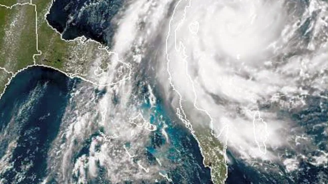
Two weather systems funneled the huge influx of moisture over the region: a high pressure system over the eastern United States with a strong onshore flow and a low off Florida's west coast, the National Weather Service Weather Prediction Center said.
That persistent onshore flow will "maintain the threat of heavy rainfall for at least another day over southeast Florida," the weather service said on the morning of Nov. 3. The additional rain could exacerbate existing flooding. The weather service expects conditions to clear later in the week.
Counties relocate polling locations
As voters in Florida choose a new governor, at least seven counties reported the relocation of certain voting precincts, according to the Florida Division of Elections.
At least five precincts have been temporarily relocated in Brevard County. "Due to these unprecedented circumstances, these changes are for the safety and security of our election workers and the voters of Brevard," the county's elections officials posted on Facebook. The county advised additional polling places could change, and suggested voters keep checking its website for updates to polling locations on Election Day.
In St. Lucie County, elections officials relocated seven polling locations.

How much rain fell in the Florida storms?
Heavy rain and flooding were reported as far south as Fort Lauderdale and westward into the central part of the state including Avon Park and Sebring.
Among the highest rainfall reports were the following locations, over 36 hours between 7 a.m. Sunday, Nov. 1, and 9 p.m., Monday, Nov. 2, the weather service said in a 10 p.m. Nov. 2 advisory.

Is El Niño to blame for the rain?
El Niño, a warming of waters in the eastern Pacific, is known for its impacts on weather around the world, including wet and stormy winters in Florida, so it might be reasonable to question whether it's to blame for the torrential rain in Florida this week.
However, Lindsey Long, a meteorologist who specializes in seasonal climate forecasts for the weather service, told USA TODAY that so far the flooding events occurring in the Southwest and Florida can't be attributed to an El Niño signal. “This week, we can't really attribute any of the current weather patterns to the strengthening El Nino yet," Long said. "That's not something we can say.”
But the weather service does expect to see impacts from the strong El Niño arrive in Florida as the winter progresses, Will Ulrich, the warning coordination meteorologist in the Melbourne weather service office, told a group of Central Florida emergency officials in late October.
"If we go back, since 1950 roughly 70% of El Niño winters have been associated with wetter than normal conditions in Central Florida," Ulrich said. "So there's pretty high confidence that the season is going to be unusual."

Rain sends river levels higher
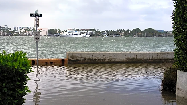
A combination of onshore winds and seasonal high tides are contributing to the coastal flooding in some locations, according to the weather service. Weeks of offshore systems and high tides already have been causing havoc along some beaches.
As the rain begins to drain off, the weather service projects water levels in the St. Johns River, which flows south to north, to near major flood levels inland in Brevard County. Near Cocoa, the river could approach major flood level, and within a foot of its all-time record, when it crests later in the week, possibly by Nov. 5. The river could also reach near major flood level at Lake Harney, but it is forecast to remain roughly three feet below its record height.
How unusual is this much rain?
Anyone who's ever had a Florida vacation disrupted by rain knows it can fall hard and fast, making driving next to impossible and standing in theme park lines more than a bit damp. Events like this deluge are unusual, but have occurred multiple times in the past.
- In April 2023, nearly 23 inches of rain fell in Fort Lauderdale, with up to 20 inches of that in just six hours.
- When Hurricane Ian slogged through in September 2022, the highest recorded rainfall was 26.95 inches in Grove City. Across the state in Daytona Beach, 21.49 inches of rain was reported.
- A gale in October 2011 dropped 17.65 inches of rain in Vero Beach, according to records from the National Oceanic and Atmospheric Administration.
- In May 2009, 12 to 24 inches of rain fell in Volusia County, just to the north of Brevard, over five days, causing millions in damages.
- A nor'easter in November 1984 dropped 11.3 inches of rain at West Palm Beach International Airport.
Contributing: J.D. Gallop, Florida Today
Dinah Voyles Pulver, a national correspondent for USA TODAY, writes about violent weather, climate change and other news. Reach her at dpulver@usatoday.com.
This article originally appeared on USA TODAY: 2 feet of rain reported in Florida amid historic deluge