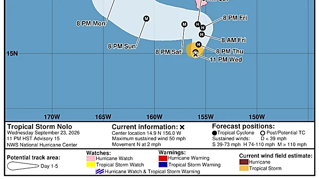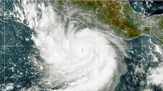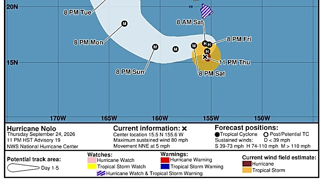

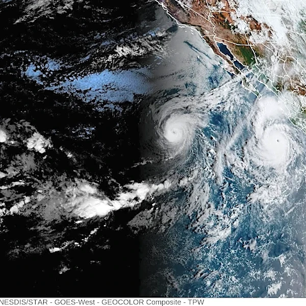



Hurricane Nolo became a hurricane Thursday night, Sept. 24, and is forecast to develop into a "major hurricane" – a storm of Category 3 or higher – by Saturday as it approaches Hawaii, bringing as much as 35 inches of rain to the Big Island.
According to the latest advisory from the National Hurricane Center, Nolo's center is located about 430 miles south-southeast of Honolulu with maximum sustained winds near 80 mph with higher gusts. Nolo is currently moving north-northeast at around 5 mph, and this general motion is expected through late Friday, forecasters said.
A turn toward the west-northwest and west with an increase in forward speed is expected Saturday and Sunday, with Nolo's center expected to remain well south of the main Hawaiian Islands,
according to the hurricane center.
While Nolo is not expected to make landfall, it will still have heavy impacts on Hawaii, with forecasters warning of "catastrophic and life-threatening flash flooding" on the Big Island into the weekend. Hurricane center forecasters said the eastern and southern portions of the Big Island could see 15-30 inches of rain, with maximum amounts of 35 inches possible.

The western portion could see 5-8 inches of rain, with maximum amounts of 10 inches possible, and Maui potentially seeing 4-8 inches, with 15 inches possible in some areas.
Additionally, forecasters said the combination of a dangerous storm surge and the tide will cause "normally dry areas near the coast to be flooded by rising waters moving inland from the shoreline," with Hawaii County potentially seeing a storm surge between 1-3 feet.
Swells generated by Nolo are expected to reach exposed east and south-facing shores of the Big Island by Friday, spreading westward and building through the weekend. Forecasters said the swells are likely to cause life-threatening surf and rip current conditions.
"People need to make their preparations today," Hurricane Center Director Michael Brennan said Thursday evening. "We are expecting very heavy rainfall across portions of the Big Island and Maui that could lead to life-threatening and potentially catastrophic flash flooding and mudslides."
Hurricane Nolo path tracker
This forecast track shows the most likely path of the center of the storm. It does not illustrate the full width of the storm or its impacts, and the center of the storm is likely to travel outside the cone up to 33% of the time.
Hurricane Nolo spaghetti models
Illustrations include an array of forecast tools and models, and not all are created equal. The hurricane center uses only the top four or five highest-performing models to help make its forecasts.
Gabe Hauari is a national trending news reporter at USA TODAY. You can follow him on X @GabeHauari or email him at Gdhauari@usatoday.com.
This article originally appeared on USA TODAY: Hurricane Nolo strengthening as it barrels toward Hawaii. See tracker