


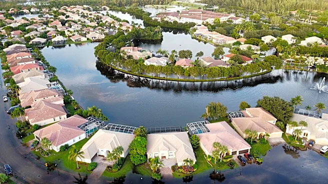

A "very strong" El Niño is expected to alter the "normal" weather during winter and dry season across South Florida, according to the National Weather Service Miami-South Florida.
The current El Niño is predicted to reach the top of the intensity scale, according to a report released Nov. 12 by NOAA's Climate Prediction Center
, and a "strong-to-very strong" El Niño is likely from January through March — very strong is the highest of four strength categories.A "wetter and stormier than normal" dry season is expected this year in South Florida, according to a Nov. 3 seasonal outlook posted by the NWS Miami-South Florida. El Niño conditions are expected to persist through "most of the dry season, with a high likelihood of a strong to very strong El Niño through March
2027."
Sign up for Amazon Prime to shop Black Friday
In South Florida, a higher risk of severe wind and tornado events is expected, especially from January through April, along with a higher risk of "strong to violent tornadoes."
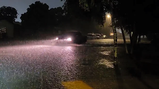
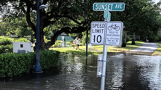
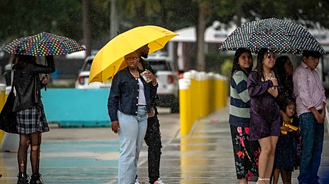
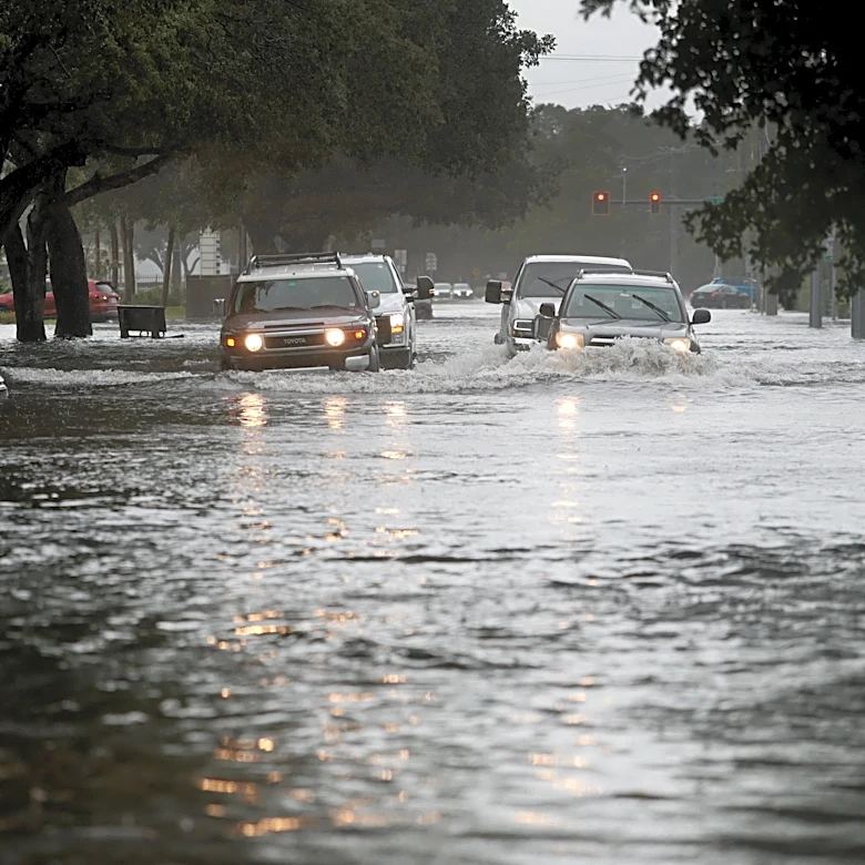
Above-normal precipitation is also likely following a dry summer, as well as an "above normal" number of flood events. Drought conditions should improve, "with removal likely by January."
South Florida saw 'unusually' hot, dry summer
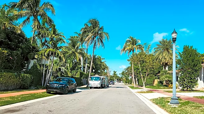
South Florida saw an "unusually" hot summer with below-average precipitation, according to the NWS. Several areas experienced some of their driest summers on record.
"Relatively low rainfall values placed many sites among the top 10 driest summer seasons on record, and came at the heels of a dry spring," read a Sept. 1 weather summary by the NWS Forecast Office Miami-South Florida.
Several areas also broke established heat records, according to the NWS, with Fort Lauderdale and West Palm Beach experiencing their hottest summers on record, along with the whole of the United States. Records in both cities both go back "well over 100 years." Miami tied 2023 for its hottest summer.
Many official reporting sites saw summers within their top 10 driest on record, according to the NWS.
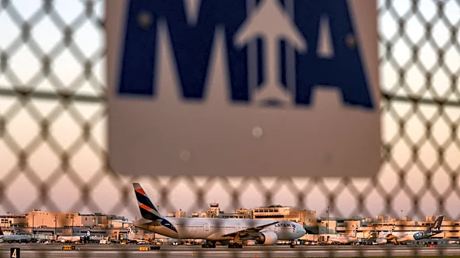
For instance, Homestead General Airport saw its 10th driest summer, NWS Miami-FIU saw its third driest summer, Opa-Locka Airport saw its 10th driest summer, Miami International Airport saw its eighth driest summer and Fort Lauderdale-Hollywood International Airport saw its eighth driest summer.
Although the document doesn't point to a "single weather feature" as the cause of the dry heat, the region "experienced trends similar to those observed over much of the Caribbean region," which is "a common feature during El Niño episodes in the summer."
"This prevented prolonged periods of tropical moisture from affecting South Florida for long periods of time," the summary added.
Drought persisted for longer, with "conditions which normally end in June," including extreme drought, which lingered in the "southern Everglades" through the end of the summer. The dry summer also resulted in "several lightning-triggered wildfires," which lasted from a week to nearly a month.
Doyle Rice contributed to this report.
Sarah Perkel is a South Florida Connect Reporter for the USA TODAY Network's Florida Connect team. You can get all of Florida’s best content directly in your inbox each weekday day by signing up for the free newsletter, Florida TODAY.
This article originally appeared on USA TODAY: El Niño continues to strengthen. What might it mean for South Florida?
Our editors independently choose our recommendations. Some content is produced with paid support from a third party, however our editorial decisions remain independent. If you buy through our links, the USA TODAY Network may earn a commission. Prices and availability may change.