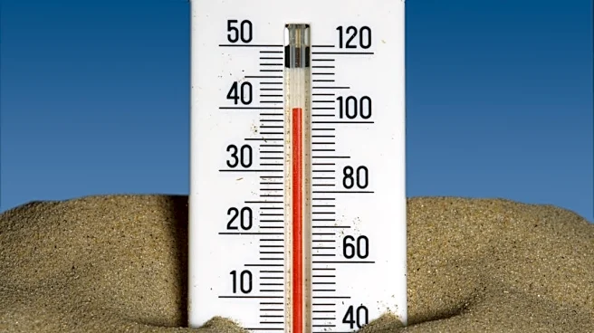









Another heat dome over the south-central U.S. is punctuating an exceptionally hot summer, with several cities already far exceeding their typical number of 100-degree days.
Through Saturday, AccuWeather meteorologists forecast highs near or above 100 degrees in Dallas, Oklahoma City and Austin, extending a months-long pattern of extreme heat across parts of the South and southern Plains.
“The meteorologic word of the year may as well be ‘Heat Dome’ for 2026,” said AccuWeather expert meteorologist Alyssa Glenny. “These ridges of high pressure have continually trapped parts of the U.S. in extreme heat throughout the summer and now into the start of fall.”
Shop Amazon for hot weather essentials
How many 100-degree days has your city seen?
Several
cities across Texas, Oklahoma, Arkansas and Kansas have already recorded far more 100-degree days than their 20-year averages, according to AccuWeather.
Texas cities have seen substantial increases. Dallas has recorded at least 100 degrees on 22 of the last 23 days, bringing its total to 49 days this year at Dallas-Fort Worth International Airport, nearly double its 20-year average of 25. Austin has recorded 43 days, compared with an average of 29, while El Paso has recorded 52, compared with an average of 34.
The difference is even larger compared with recent averages in Oklahoma. Oklahoma City has recorded 42 days at or above 100 degrees, more than triple its 20-year average of 13, while Tulsa has recorded 34, nearly triple its average of 12.
Wichita has recorded 28 days at or above 100 degrees, more than twice its average of 13. Little Rock has recorded 21, also more than twice its average of eight.
How long will the heat last?
The dangerous heat will continue across the South-Central U.S. through midweek, with temperatures in the upper 90s and triple digits and some daily records possible.
Dallas and Oklahoma City could reach 102 degrees, while Austin could hit 101. Little Rock could also reach 100 degrees. El Paso will be cooler, with highs in the upper 80s to mid-90s.
But relief is coming soon. The ridge of high pressure driving the heat will weaken as an upper-level trough moves into the Central U.S., allowing temperatures to moderate into the weekend, according to the Weather Prediction Center.
The pattern will turn stormier at the same time. Heavy rain and thunderstorms are expected to spread across parts of the Central and Southern Plains this weekend, with more monsoonal storms possible across New Mexico early next week.
What is a heat dome?
A heat dome is a large area of high pressure that traps hot air near the surface, allowing temperatures to rise and remain elevated for several days.
The pattern acts like a lid over the atmosphere. As air sinks beneath the area of high pressure, it warms and dries out, reducing cloud cover and allowing more sunlight to heat the ground.
“Heat domes are caused by a strong high pressure that extends over a large area and feeds on the heat and even expands a bit,” AccuWeather Senior Meteorologist Alan Reppert said.
The longer the high-pressure system remains in place, the more heat can build, leading to prolonged stretches of dangerous temperatures.
National heat index map: How hot does your city feel?
The map below identifies areas where the heat index is forecasted to reach NWS-defined levels from "Caution" (80 degrees Fahrenheit) to "Extreme Danger" (above 125 degrees).
The heat index measures how hot it actually feels when factoring for humidity. Prolonged exposure to a heat index above 80 degrees can lead to fatigue, as previously reported by USA TODAY. As it gets hotter, the risk continues to increase − potentially resulting in heat stroke or even death. Older adults, children, and outdoor workers are generally at higher risk of heat-related incidents.
Search the heat index forecast in your area
Is your city getting hotter? It's possible! You can check the heat index forecast here to find out!
Stay informed. Get weather alerts via text
Brandi D. Addison covers weather across the nation as the Weather Connect reporter for the USA TODAY Network and contributes to Texas Connect coverage across the state. She can be reached at baddison@usatodayco.com. Follow her on Facebook here.
This article originally appeared on USA TODAY: Heat dome pattern brings twice the usual 100-degree days to some cities
Our editors independently choose our recommendations. Some content is produced with paid support from a third party, however our editorial decisions remain independent. If you buy through our links, the USA TODAY Network may earn a commission. Prices and availability may change.