


Climate troublemaker El Niño continues to strengthen, and now has a greater than 90% chance of becoming a "very strong" event during the fall and winter of 2026-27, federal scientists reported Aug. 13.
In addition, by the fall season, there is a 69% chance of a "historic event that would exceed the strength of previous El Niño events dating back to 1950," according to an Aug. 13 report released by scientists at the National Oceanic and Atmospheric Administration's Climate Prediction Center (CPC).
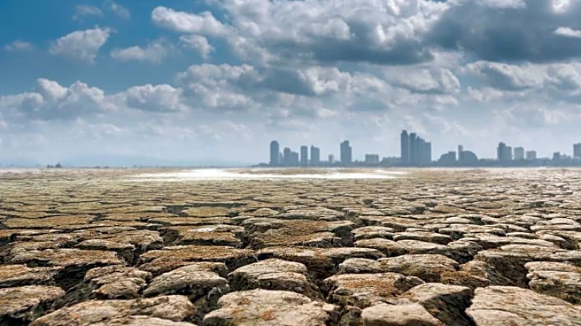
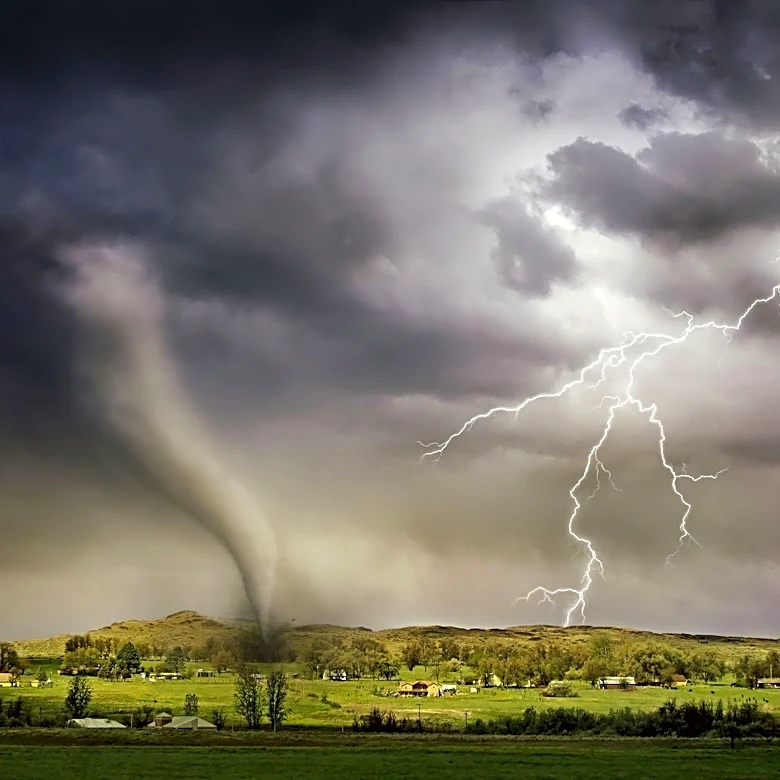
El Niño, a natural warming of seawater in the Pacific Ocean, affects weather and climate patterns around the world. Impacts often include a boost of hurricanes in the Pacific basin and a spike in global temperatures, as well as droughts and flooding
in many areas.

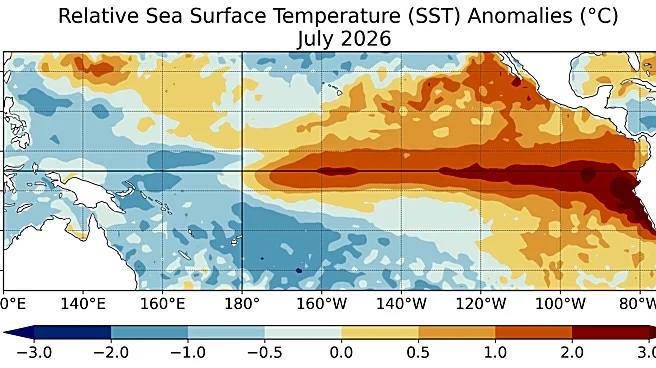
Water temperatures over 3 degrees above average
El Niño continued to strengthen over the past month, the CPC said, with sea-surface temperatures more than 3.6 degrees above average in the eastern equatorial Pacific Ocean.
The CPC report, which synthesizes several climate models from North America and abroad, also said that this El Niño will continue to strengthen through the end of the year.
"With an event of this magnitude, the chances of experiencing impacts consistent with El Niño are larger, but they are not guaranteed," the CPC report said.
What is El Niño?
El Niño is a natural climate pattern in which surface sea water temperatures in the central and eastern tropical Pacific Ocean are warmer than average.
Its name means the Little Boy, or Christ Child in Spanish. El Niño was originally recognized by fishermen off the coast of South America in the 1600s with the appearance of unusually warm water in the Pacific Ocean around Christmas.
The entire natural climate cycle is officially known as El Niño – Southern Oscillation, called ENSO by scientists. The cycle swings between warmer and cooler seawater in a region along the equator in the tropical Pacific. La Niña is marked by cooler-than-average ocean water in the region.
How long will El Niño last?
Although predicted to be a potent one, the predicted seven-months-long duration of this El Niño event is not unusually long, according to Michelle L'Heureux, physical scientist and ENSO team lead at NOAA's Climate Prediction Center. "I don't see anything atypical about the starting season or potential duration of this El Niño," she said in an e-mail to USA TODAY.
"I don't see evidence for something atypical about length of the current development," she added. "We are currently observing warming in the tropical Pacific consistent with El Niño."
"As a result, we are also seeing El Niño impacts develop in areas that are expected to have El Niño impacts this time of year (for example, drier than average conditions across Indonesia, India, Central America, the Horn of Africa and wetter than average conditions in parts of Chile)."
Why is El Niño important?
One of the most important impacts of El Niño is that it often boosts hurricane activity in the Pacific and decreases it in the Atlantic. So far this year, that's held true, as the Pacific has been active while the Atlantic has been rather quiet. (Though the Atlantic is starting to see more activity as we approach the peak of the season.)
Other than the hurricane impacts, El Niño usually doesn’t have a strong summer climate impact for most of the United States, NOAA said.
But the ENSO cycle is the primary factor U.S. government scientists consider when announcing their winter weather forecast because it mainly influences the USA's weather in the colder months.
How El Niño impacts the USA's winter weather
During an El Niño winter, the southern third of the United States typically experiences wetter-than-average conditions, while the northern third sees enhanced chances of below-normal precipitation, according to the CPC.
As for temperatures, "El Niño winters are typically warmer across the continental U.S., especially from the Pacific Northwest to the Great Lakes," Matthew Rosencrans, NOAA’s lead hurricane seasonal forecaster, said in a recent e-mail to USA TODAY. "The warmth can extend farther down the West Coast and into the Southeast, but those signals are much less certain."
And on a worldwide level, "El Niño will give an extra boost to global temperatures,” stated Alvaro Silva, a World Meteorological Organization scientist. “We know that during El Niño years, the global temperatures normally reach record levels.”
Costliest El Niño on record?
El Niño can have a devastating impact on the world economy – to the tune of trillions of dollars around the globe – and the current pattern is likely to follow suit.
For example, the 1982-83 El Niño led to $4.1 trillion in global income losses, while the 1997-98 El Niño cost about $5.7 trillion, a 2023 study suggested.
"The current forecasts imply this could be the costliest El Niño on record," Justin Mankin, a Dartmouth geography associate professor who studies El Niño's economic impacts, said in a recent email.
Could it be a 'Super' El Niño? Or a 'Godzilla' El Niño?
Although they're not official terms, some excited scientists and headline writers have dubbed the current El Niño a "Super" or "Godzilla" El Niño.
Experts at the Climate Prediction Center do not use these terms, instead preferring the term "very strong."
Doyle Rice is a national correspondent for USA TODAY with a focus on weather and climate.
This article originally appeared on USA TODAY: Updated El Niño forecast warns of 'historic event'