





A storm system taking shape along the East Coast could become an early-season nor’easter later this week, bringing several days of gusty winds, rain, rough surf and coastal flooding concerns from the Mid-Atlantic into New England.
The National Weather Service’s Weather Prediction Center said Monday that an upper-level low is expected to stall over the Mid-Atlantic and Northeast, supporting a coastal low that could meander near the region through the weekend. The exact track remains uncertain, and even relatively small shifts could change where the heaviest rain and strongest winds occur.
"The surface low in the western Atlantic meandering will lead to broad onshore flow across the Mid-Atlantic and Northeast for multiple days," the Weather Prediction
Center wrote in its forecast. "This persistent pattern could lead to coastal flooding and beach erosion concerns, especially when combined with tidal cycles as typical and the full moon later this week. Exact placement of the surface low from day to day and thus any heavy rain is more uncertain."
Here's what to know about the potential storm.
Shop Amazon for rain gear
When will the nor’easter arrive?
The storm is expected to take shape late this week, with the most significant coastal impacts possible from Thursday, Sept. 24, into the weekend, according to the Weather Prediction Center.
The coastal low could strengthen over the western Atlantic beginning Friday, Sept. 25, and linger into the weekend. Forecast models agree on the general setup but still differ on the storm's exact position.
That uncertainty matters because a storm closer to the coast would generally bring greater impacts than one that remains farther offshore.
Where could the nor’easter hit?
The potential storm could affect a large stretch of the East Coast, including:
- North Carolina: Enhanced rain could develop Thursday, particularly in eastern parts of the state.
- Mid-Atlantic: Persistent onshore winds could contribute to coastal flooding and beach erosion.
- New York and New Jersey: Strong northeast winds, high surf and coastal flooding could become concerns later in the week.
- New England: Coastal areas could see heavier rain and increasing wind and surf Friday into Saturday.
The National Weather Service in New York said a prolonged period of northeast winds could develop from Tuesday, Sept. 29, through the end of the week, with high surf, dangerous rip currents, beach erosion and coastal flooding all possible.
What kind of weather will it bring?
With the storm developing in September, the primary concerns are rain, wind and coastal impacts.
Potential hazards include:
- Heavy rain: The exact location of the heaviest rain remains uncertain because it depends on the storm's track.
- Strong winds: Persistent northeast winds could become especially strong along the coast.
- Coastal flooding: Onshore winds can push ocean water toward the coast, raising water levels during high tides.
- Beach erosion: Large waves and persistent onshore winds could strip sand from beaches.
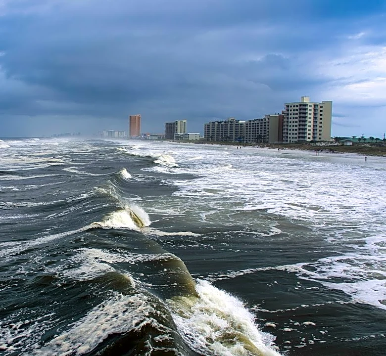
- High surf and dangerous rip currents: Ocean conditions could become hazardous for swimmers and boaters.
The National Weather Service said the full moon later this week could also contribute to higher astronomical tides, potentially worsening coastal flooding concerns.
Why is a nor’easter forming in September?
Nor’easters are most commonly associated with late fall and winter, but the basic ingredients can occur earlier in the year.
In this case, an upper-level low is expected to stall over the East while high pressure builds to the north, according to Weather Prediction Center forecasts. That setup can create a pressure difference that strengthens northeast winds along the coast while helping a coastal low develop.
Warm Atlantic waters also provide plenty of moisture for the developing system.
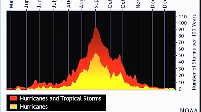
September nor’easters are uncommon compared with winter nor’easters, when the temperature difference between cold continental air and warmer ocean water is typically greater. The Washington Post reported that only about 1% of the strongest historical nor’easters have occurred in September.
What exactly is a nor’easter?
A nor’easter is a storm that affects the East Coast and produces strong northeasterly winds, generally as a low-pressure system strengthens near or off the coast.
Despite the name, a nor’easter isn't defined simply by being a storm that moves northeast. The name refers to the direction of the winds affecting the region.
Nor’easters can happen any time of year, but the most memorable ones often occur during the colder months and can produce heavy snow and blizzard conditions.
U.S. weather watches and warnings map
Stay informed. Get weather alerts via text
Brandi D. Addison covers weather across the nation as the Weather Connect reporter for the USA TODAY Network and contributes to Texas Connect coverage across the state. She can be reached at baddison@usatodayco.com. Follow her on Facebook here.
This article originally appeared on USA TODAY: September nor’easter may form on East Coast. Here's where it's headed
Our editors independently choose our recommendations. Some content is produced with paid support from a third party, however our editorial decisions remain independent. If you buy through our links, the USA TODAY Network may earn a commission. Prices and availability may change.