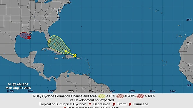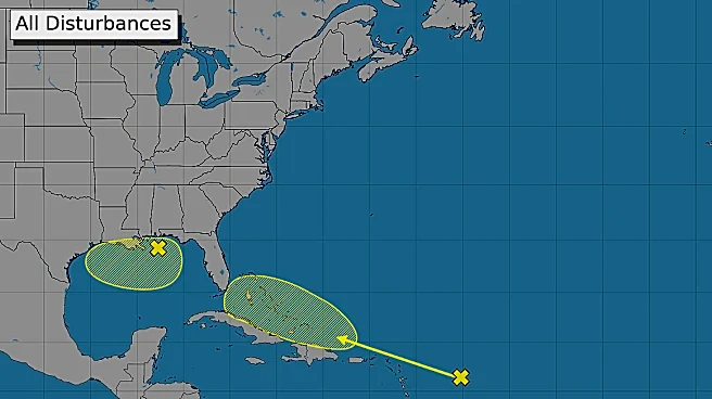

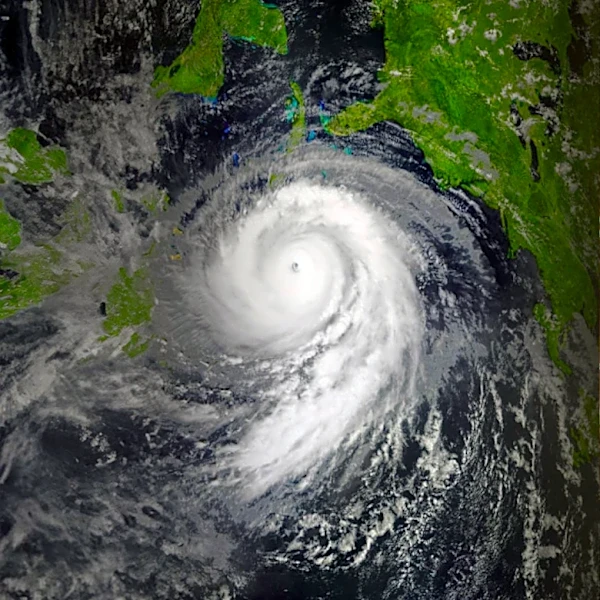




A tropical depression formed in the Gulf on the afternoon of Aug. 31, 2026, the National Hurricane Center said. The system is forecast to strengthen into Tropical Storm Edouard later Aug. 31.
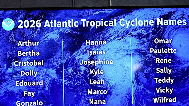
Once it becomes Edouard, it will be the fifth named storm of the 2026 Atlantic hurricane season.
So far, all of the storms have maintained tropical storm force: None have strengthened into hurricanes as of Aug. 31.A tropical storm warning was hoisted by the hurricane center from Port Bolivar, Texas, to the Vermilion/Cameron Parish Line in Louisiana as of midday on Aug. 31. A tropical storm warning means that tropical storm conditions are expected somewhere within the warning area, in this case within the next 24-36 hours.
Downpours are forecast to spread
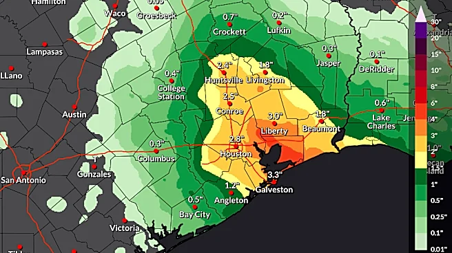
westward across southern Louisiana on Aug. 31, AccuWeather said. Showers and thunderstorms will reach upper Texas later Aug. 31 before expanding inland and farther northwest across northeastern Texas on Sept. 1.
"Houston and surrounding communities may experience the most persistent rainfall from late Monday night [Aug. 31] through Tuesday [Sept. 1]," AccuWeather meteorologist Emma Belscher said in an online forecast.
Flash flooding, wind, rough surf possible
The system is expected to produce rainfall totals of 3 to 6 inches with maximum totals of 9 inches for parts of the upper Texas coast inland through east-central Texas, with 2 to 3 inches for southwest Louisiana, the hurricane center said.
This rainfall could produce flash flooding, especially in low-lying and urban areas.
In addition to flooding, the rainstorm may produce locally gusty winds, especially near the coast and within heavier thunderstorms, AccuWeather said. Rough surf and locally hazardous conditions for small craft are also anticipated over the northern Gulf.

Dolly's remnants also a concern
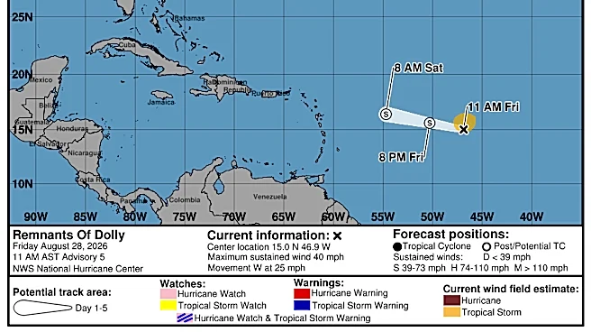
Elsewhere, the hurricane center is keeping an eye on whether the remnants of Tropical Storm Dolly could develop again.
"A surface trough of low pressure (the remnants of Tropical Storm Dolly) is producing a disorganized area of showers and thunderstorms that extends from near Hispaniola eastward to the northern Leeward Islands," the hurricane center said.
Redevelopment, if any, would be slow to occur during the next few days as the system encounters generally unfavorable upper-level winds while moving quickly west-northwestward at 20 to 25 mph, according to the hurricane center.
"Regardless, the system could bring locally heavy rains and gusty winds to portions of the Leeward Islands, the Virgin Islands, Puerto Rico, Hispaniola, and the Bahamas during the next couple of days."
Hawaii also urged to be watchful
Residents in Hawaii are once again being asked to keep an eye on a tropical system that could move past the state. Tropical Storm Lowell is forecast to approach the region from the south by mid-week, the hurricane center said.
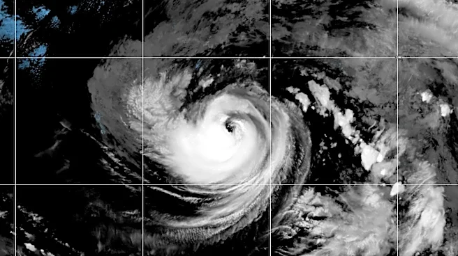
Hurricane Karina also is moving westward in the Pacific and could be well to the northeast of Hawaii by the weekend of Sept. 5, according to the hurricane center forecast.
Storm tracker
Doyle Rice and Dinah Voyles Pulver are national correspondents for USA TODAY, with a focus on weather and climate.
This article originally appeared on USA TODAY: Tropical depression forms in Gulf; forecast to become Edouard