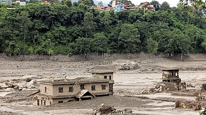




A massive landslide along the Nepal-China border sent a torrent of mud, rocks and water through communities Wednesday, leaving a trail of destroyed homes, roads, bridges and power infrastructure.
At least 160 people have died in Nepal and China's Tibet region, including 157 in Nepal and three in China, while hundreds remain missing. Officials on both sides of the border have warned that the death toll could rise as rescue crews struggle to reach devastated areas, Reuters reported.
Video footage from the disaster zone shows the scale and speed of the destruction. Security cameras on the Chinese side of the border captured people running from a wall of debris as floodwaters rushed through a border crossing, sweeping away vehicles and buildings.
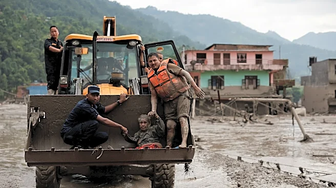
In Nepal, images showed roads buried beneath thick layers of mud, homes partially submerged and survivors being carried or transported to safer areas. Helicopters flew over valleys as rescue crews searched for people stranded by the flooding.
Videos show devastation in Nepal
The footage captures people scrambling to escape as floodwaters surge through the Himalayan border region. Other images show the aftermath, including vehicles covered in mud, damaged houses and sections of roadway overwhelmed by debris.
Photographs from the affected areas show survivors being evacuated, injured people receiving treatment and properties covered in mud. Helicopter footage also shows the extent of flooding through valleys in Nepal's Rasuwa district.
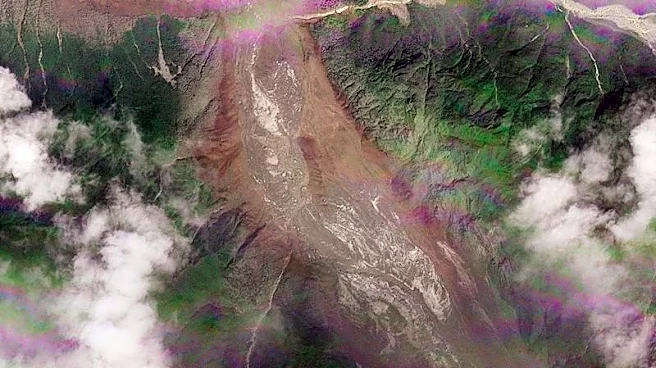
The destruction was particularly severe along the Lhende River, where an ice-and-rock landslide triggered a debris-filled flood, according to Nepal's National Disaster Risk Reduction and Management Authority.
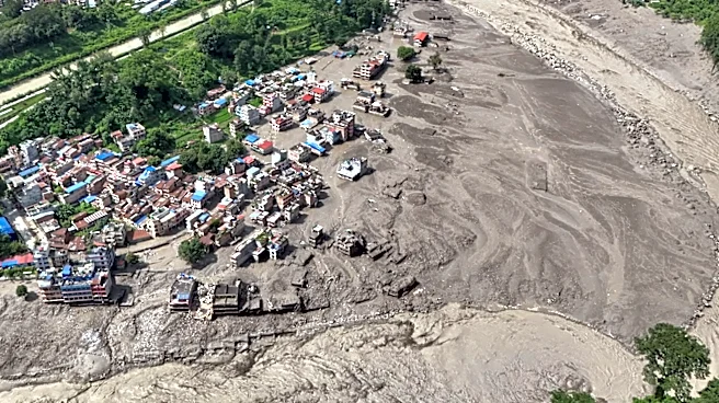
Aerial video offers a broader view of the destruction, with floodwaters cutting through communities along Nepal's Bhote Koshi River.
How the landslide happened

The precise cause of the landslide remains under investigation. A magnitude 4.4 earthquake was recorded in the area about seven minutes before security footage captured the flooding, according to the German Research Centre for Geosciences.
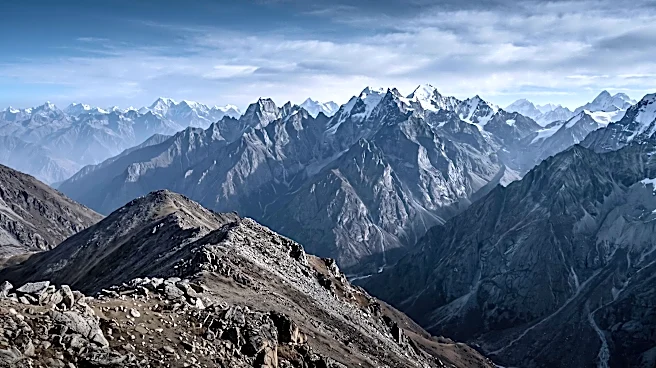
Satellite imagery indicated that part of a glacier at about 17,060 feet above sea level broke away and crashed into the valley below, releasing ice, rock and sediment into the river. Experts said it was not yet clear whether the earthquake triggered the collapse.
Destruction extends into Tibet
The disaster also affected China's Tibet region, where officials reported three deaths and 265 people missing in Gyirong.
The mudslide struck the Gyirong border port, damaging roads, communications and power connections. China deployed drones to assess the damage and prepared aircraft and helicopters for rescue operations.
The flooding also prompted alerts in northern India, where authorities evacuated thousands of people in Bihar as rivers flowing from the Himalayas rose. People had been evacuated from six districts, with plans to move as many as 10,000 to 12,000 people from areas at risk.
Contributing: Reuters
Reporter Anthony Thompson can be reached at ajthompson@usatodayco.com, or on X @athompsonUSAT.
This article originally appeared on USA TODAY: Videos show scope of devastating Nepal landslide