




The nation's scorching summer – which featured the hottest July on record – is almost in the rearview mirror, and attention now turns to the season of pumpkin spice, falling leaves and (hopefully) mercifully cooler temperatures.
However, this year, it may take longer than usual for summer warmth to fade, in part due to the strengthening El Niño, according to a new federal forecast and commentary from AccuWeather meteorologist Brian Lada.
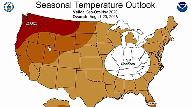
The Climate Prediction Center's fall temperature outlook map for the United States shows that nearly coast-to-coast above-average temperatures are expected in September through November, except for a spot in the Ohio Valley where there are equal chances for above- and below-average temperatures.
"The September-October-November
2026 temperature outlook favors above-normal temperatures for most of Alaska as well as the western and central contiguous United States, the Great Lakes, Northeast, mid-Atlantic, Florida, and coastal areas of the Southeast and Gulf," NOAA Climate Prediction Center lead meteorologist Scott Handel wrote in an online forecast released Aug. 20.
Lada, in an online forecast, said September may feel more like an extension of summer across parts of the country, especially in the mid-Atlantic and southeastern United States, where the above-average temperatures will be paired with high humidity and warm nights.
In a bit of good news for fall weather lovers, Handel said cold snaps are still possible amid warmer-than-average temperatures.
El Niño will dominate
Experts say that El Niño will likely be the dominant driver of weather across the United States this fall. "Because the signal will be very strong, the confidence level is good that El Niño will drive a majority of the weather features across the nation this fall and winter," according to an email to USA TODAY from AccuWeather meteorologist Paul Pastelok.
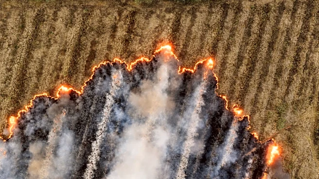
Overall, the main headlines for fall weather are that the very strong El Niño will bring rain relief to the southern tier of the nation while wildfires continue to burn into early fall in the Northwest, Pastelok said.
Also keep in mind that fall has two different starting dates: Meteorological fall starts on Tuesday, Sept. 1, while astronomical fall, which takes place at the autumnal equinox, begins at 8:05 p.m. EDT on Tuesday, Sept. 22. The outlook from the Climate Prediction Center covers the months of September, October and November.

Where will it be hottest in fall 2026?
Specifically, Handel said "the highest probabilities (greater than 50 percent) of above normal temperatures are forecast across southeastern Alaska, the Pacific Northwest, northern Rockies, and adjacent areas of the northern High Plains and northwestern California."
The temperature outlook also features an area of "equal chances" across the Ohio and Tennessee Valleys and nearby areas, where warm trends are relatively weak compared to other areas of the country, Handel said.
Fall precipitation forecast
The fall precipitation forecast map for the United States shows that drier-than-average conditions are expected in parts of the Northwest and Northeast, while the weather should be wetter-than-average in the Southwest and Southeast.
"The greatest chances (higher than 40 percent) for above normal precipitation are indicated for much of the Southwest and adjacent areas of the Great Basin and central and southern Rockies as well as for parts of the coastal Southeast," Handel wrote.
He added that "a slight tilt toward below normal precipitation amounts are forecast across much of the Great Lakes, Northeast, and across northern and eastern Washington State and adjacent areas of northern Idaho and northwestern Montana."
On the map, the rest of the nation shows equal chances for above- and below-normal amounts of precipitation.

Which part of the US will likely see cooler weather first?
"As we progress deeper in the fall, and the effects of El Niño begin to assert itself to a greater degree, the southern tier of the United States is least likely to experience warmer than normal temperatures," Handel said in an e-mail to USA TODAY.
"However, it is important to note that fall is a very changeable season and these outlooks pertain to the mean temperature for the season as a whole and not to individual cold snaps that may occur within the season," he said. "Individual cold snaps can occur even in areas where the season as a whole turns out to be warmer than normal."
When will snow arrive this fall?
According to AccuWeather, the first snowflakes of the season will be confined mainly to the mountains but could reach more populated areas later in November.
"Late September and early October could bring snow to the highest elevations of the Rockies in Montana, Idaho and Wyoming. Snow may be slower to arrive in the Cascades of Washington and Oregon due to a warmer start to fall," Lada said in an online forecast.
Snow chances should increase in the Rockies during November, especially in Colorado, Utah and New Mexico, where a couple of early-season snow events are possible, AccuWeather said.
Drought a worry in some areas
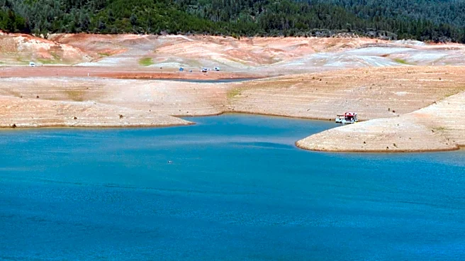
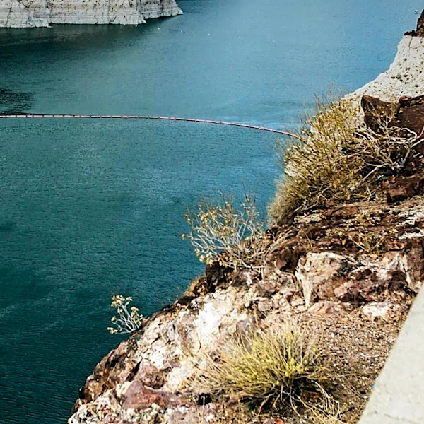
"Sustained, severe-to-exceptional drought across the Southwest has driven water levels in Lake Mead and Lake Powell to historic lows," said Yun Fan, a meteorologist at NOAA’s Climate Prediction Center in an email to USA TODAY. "Some relief is expected during the September–October–November season if forecasts hold true."
"Drought is likely to expand and intensify across Puerto Rico and the U.S. Virgin Islands as a strong El Niño drives suppressed rainfall over the Caribbean," Fan said. "With El Niño expected to persist through at least next spring, water supplies will become a major concern for the region."
Will wildfires be a concern in the West?
Pastelok said "Yes, mainly early in the fall. Fires will continue to burn in the Northwest strong through early to mid-September with a lack of rain, then because of the set up in the northeast Pacific, there can be some rain and snow to diminish the risk of new fires significantly by later in September and October."
Because of drier conditions typical in fall during El Niño in the upper Midwest, Great Lakes and Northeast, there is concern for a early to mid season fire risk, especially as the leaves fall to the ground, Pastelok said.
What is the single fall forecast feature that people may be overlooking?
"The quick change to wet weather from the southern Plains to the interior Southeast this fall, leading to flooding potential," Pastelok told USA TODAY.
Doyle Rice is a national correspondent for USA TODAY, with a focus on weather and climate.
This article originally appeared on USA TODAY: Fall 2026 weather forecast released. When will it cool down?