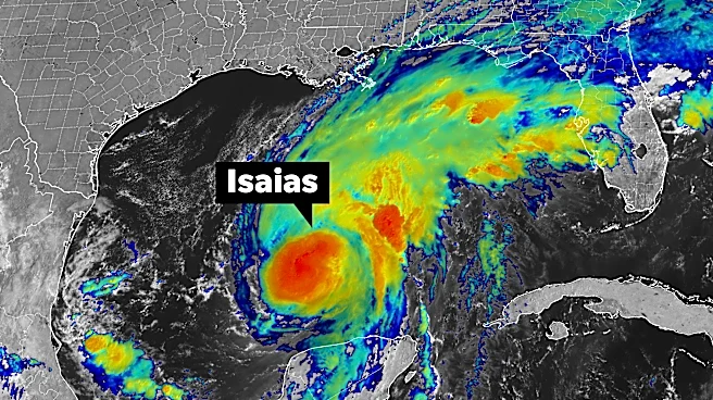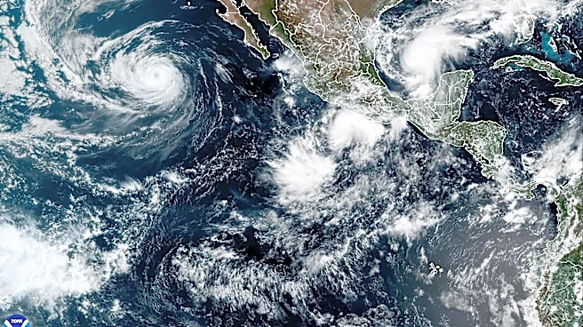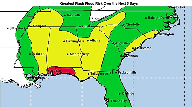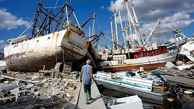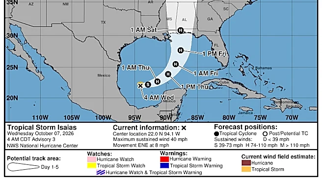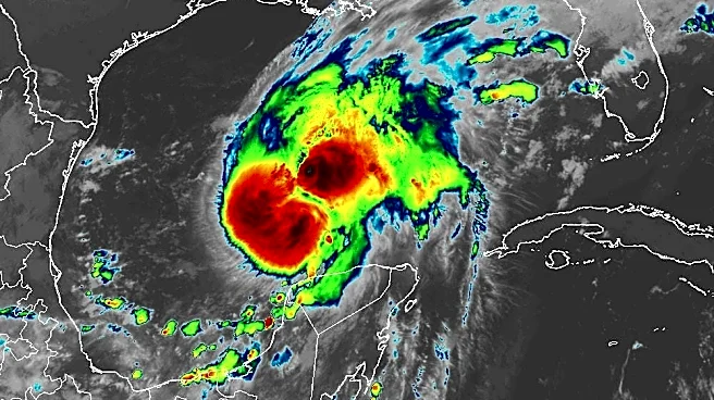






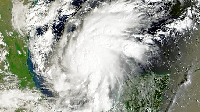
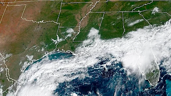
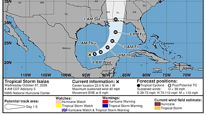
For decades, improving the accuracy of track forecasts for dangerous hurricanes like Isaias plodded along at a slow and steady pace. Improvement in intensity forecasting was even slower.
People in harm’s way could go to bed at night expecting a Category 2 storm the next day and wake up to a Category 5 knocking at their door. Gradually, the National Hurricane Center
also began to see progress in that too.Then AI models exploded onto the scene two years ago.
Forecast improvements leaped forward, particularly in track forecasting.
The pace of change "is very different than typical," said Michael Brennan, director of the National Hurricane Center, who spoke to USA TODAY on Oct. 8 as Isaias approached the coast.
At the time, it appeared the storm would
follow a path predicted by one of those new tools: A Google artificial intelligence model the hurricane center now uses to inform its forecasts, which are still issued by humans.
The speed at which the machine learning models showed marked improvement and were verified and adopted into existing forecasting tools may be unrivaled, said James Franklin, a now retired former branch chief for hurricane specialists at the center.
“This improvement that we’re seeing with the AI modeling, in particular with Google DeepMind, has been quite remarkable,” Franklin said. “I haven’t seen anything that dramatic in my years.”
This season is the first in which Google DeepMind’s WeatherNext model has been fully incorporated into the center’s suite of forecasting aids, after testing and evaluation, Brennan said. The model has improved accuracy and efficiency by churning through mountains of historical data faster than any existing models.
That means earlier detections of hazards and risks associated with storms and better decision-making before storms arrive, said Wallace Hogsett, the center’s science operation officer, in a bulletin earlier this summer.
The Google DeepMind team made its WeatherNext family of AI models available to the hurricane center’s automated forecasting system in 2025. Even during the initial testing and evaluation phase, it quickly became apparent that it was turning in impressive performances.
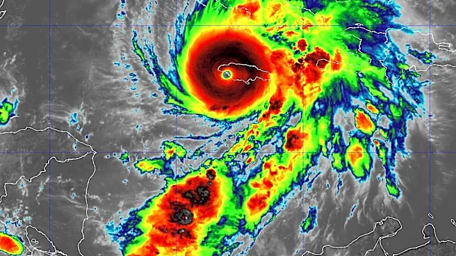
The center began using the model results in some of its forecasting tools, notably to make an unprecedented, but accurate intensity forecast for Hurricane Melissa as it roared toward Jamaica during the 2025 season. In 2026, the center fully embraced WeatherNext, incorporating it into the blend of best-performing models it uses to predict a storm’s intensity, track and size, Brennan said.

How do the AI models work?
The WeatherNext model the hurricane center vetted last summer and is using this year compares patterns in the atmosphere during past storms and assesses what new storms could do in similar situations, Franklin said.
Infused with global cyclone observations over decades, the model uses learned relationships between variables such as pressure, wind and temperature and a snapshot of the current atmosphere to estimate outcomes, Brennan said. It quickly processes thousands of possible outcomes, compared to the 50 that some of the dynamical models process from one forecast cycle to another.
Then, "through its mathematical magic," Franklin said it finds patterns that say: "when the atmosphere looks like this now, this is what’s going to happen with the tropical cyclone."
"It does that so well that it doesn’t need to know anything about the physics of the atmosphere and all the traditional things," he said. It has found patterns forecasters did not see.
Evaluating the model performance over the past two summers, Franklin said the model is far better at predicting hurricane tracks than others, including the official forecast.
"For something to come out of the blue like that and just be the best track forecast guidance, I haven’t seen that before," he said. "It just beats everything else for track, and by a wide margin."
"The official forecast is still more commonly the best forecast among the guidance tools," Franklin said. "But you don’t want to make a forecast for track unless you’ve seen the Google DeepMind."
When Hurricane Melissa approached Jamaica in 2025, the WeatherNext model helped give the center the confidence to make one of its most aggressive intensity forecasts, accurately predicting the storm’s rapid intensification.
Human forecasters still play a leading role
The machine learning models are "valuable new tools in our toolbox, but they have not fundamentally changed how we make the forecasts," Brennan said. "They are another tool. There’s still a human forecaster here who’s looking at all of the information from the models, from observations, from their own experience and expertise."
The human is making the forecast, and more importantly, translating the track, intensity and size forecast into hazard information, he said. "The NHC forecast still offers a lot of consistency and accuracy, above any individual model for the most part."
Even if the AI model forecast isn’t perfect, if the forecaster takes the AI model, which is better than most other models, and combines it with practical experience, that can improve the forecast, Brennan said.
New research opportunities
Based on the patterns it’s finding, the WeatherNext model may have uncovered previously unrecognized atmospheric signals in tropical cyclones, according to a study published in the journal Nature.
Large scale atmospheric data may have more of an intensity signal than previously recognized, concluded the study by more than a dozen scientists, including Franklin and scientists with the National Oceanic and Atmospheric Administration and Google DeepMind.
That opens new challenges and opportunities, said the paper’s authors and others, who reported the advancement in the models was comparable to advances in the last decade of operational forecast improvements.
What is the model seeing in the atmosphere that forecasters haven’t found yet? Scientists don’t yet know the answer to that question, said Andy Hazelton, a meteorologist and hurricane researcher at the University of Miami.
There’s some sort of pattern recognition that’s allowing us to get things previous models don’t, he said. He wonders if there’s an important variable that has been missed in observations or scientific research flights by NOAA Hurricane Hunters.
He’s hopeful scientists can delve into the interactions with these complex tropical systems. "Hopefully we can use AI to not just predict but understand scientifically what’s going on," he said. That could help improve not just the models, but the information that’s collected during research missions.
AI models may hold clues to other extreme weather forecasting challenges, such as local heat extremes and extreme precipitation, the study’s authors concluded.
Despite the advances, they stated, "the chaotic nature of the atmosphere ensures that tropical cyclone forecasting remains a challenging and fertile field for AI research."
Dinah Voyles Pulver, a national correspondent for USA TODAY, writes about violent weather, climate change and other news. Reach her at dpulver@usatoday.com
This article originally appeared on USA TODAY: High-tech 'new tools' used in hurricane forecasts, NHC director says