




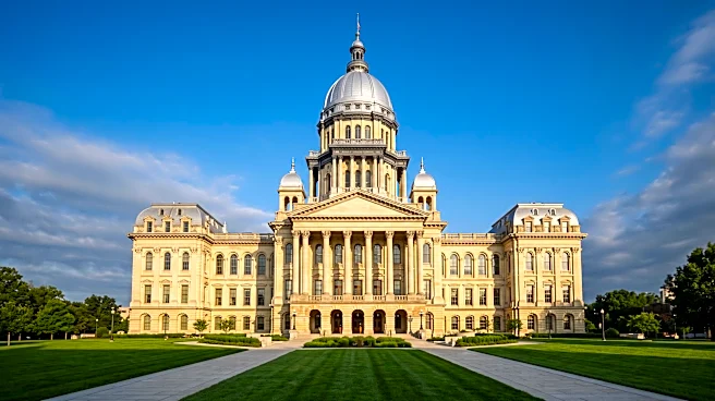
The New Number: 17 Districts
The simplest answer is that Illinois now has 17 congressional districts. This is a change from the 18 districts the state had for the previous decade. This reduction took effect for the 2022 midterm elections after a process called reapportionment, which happens every 10 years. This process divides the 435 seats of the U.S. House of Representatives among the 50 states based on their population. The bottom line: fewer people means fewer representatives.
Why Illinois Lost a Seat
Illinois lost a congressional seat for a straightforward reason: its population did not grow as fast as other states'. The 2020 U.S. Census revealed that while some states, particularly in the South and West, saw booming population growth, Illinois's population remained nearly stagnant, even showing
a slight decline of 0.1% over the decade. In a national system where congressional seats are a zero-sum game, Illinois's slow growth meant it had to give up one of its seats to a state that grew more quickly. This continues a long-term trend for the state, which has been losing congressional representation in nearly every census cycle since the 1940s.
Drawing the New Map: A Political Process
Once Illinois knew it had 17 seats, the next step was to draw the new district boundaries, a process known as redistricting. In Illinois, this power falls to the state legislature. In 2021, when the new map was drawn, Democrats controlled the Illinois House, the State Senate, and the governor's office. This gave them unilateral power to draw the new map without Republican input. The resulting map, signed into law in November 2021, was immediately controversial. Republicans and other watchdog groups criticized the new boundaries as a partisan gerrymander, designed to maximize the number of Democratic-held seats and minimize Republican competitiveness. One analysis even ranked it as the most gerrymandered map drawn by Democrats in the country during that cycle.
The Impact of the Changes
The new map had an immediate and significant impact on the state's political landscape. The boundaries were drawn to create 14 districts that heavily favor Democrats and only three that favor Republicans. Some districts were crafted with unusual shapes, stretching across different communities to connect Democratic-leaning voters while isolating Republican ones. This reshuffling forced several incumbent representatives into tough situations. Some found their homes drawn into the same district as another incumbent, forcing them to run against a colleague or retire. Others saw the political makeup of their districts change so drastically that re-election became nearly impossible. Ultimately, the new map was highly effective at achieving its political goals, cementing a strong Democratic majority in the state's congressional delegation for the foreseeable future.