





Who Actually Draws the Lines?
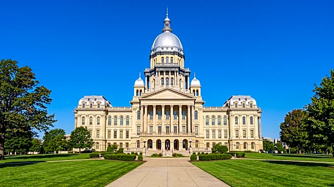
In Illinois, the power to draw new congressional district maps belongs to the state legislature, officially known as the Illinois General Assembly. This means the state senators and representatives currently in office are responsible for drafting, debating, and voting on the boundaries that will define U.S. Congressional elections for the next decade. The process works like any other piece of legislation: a map is proposed as a bill, must pass both the Illinois House and Senate, and is then sent to the governor for a signature to become law. This fundamentally political process ensures that whichever party controls the General Assembly and the governor's office holds the pen, giving them immense power to shape the state's political landscape.
What's the Official Process?
The redistricting cycle kicks off after the U.S. Census Bureau releases new population data every 10 years. This data shows how populations have shifted, grown, or shrunk across the state. The Illinois Constitution requires that districts be redrawn to reflect these changes, ensuring each has a nearly equal population—the 'one person, one vote' principle. Legislative committees hold a series of public hearings across the state to gather input, though critics often question how much this testimony influences the final product. Ultimately, the majority party drafts a map that it believes best serves its interests, passes it through the legislature, and sends it to the governor. In the 2020 cycle, for instance, a congressional map was passed by the legislature in late October 2021 and signed by the governor in November 2021.
So, What's All the Fuss About?
The controversy boils down to one word: gerrymandering. This is the practice of drawing district lines to give one political party an unfair advantage. Because the party in power controls the process, they can 'pack' the opposing party's voters into a few districts, which their party will win overwhelmingly, and 'crack' the remaining voters across many other districts where they are too few to form a majority. This allows the ruling party to win a majority of seats even if they don't win a majority of the statewide vote. Instead of voters choosing their politicians, the politicians effectively choose their voters. Illinois has a long and bipartisan history of this practice; whichever party holds power uses it to solidify its control for the next decade.
Illinois: A Case Study in Partisan Maps
Illinois is frequently cited as one of the most gerrymandered states in the nation. Its districts are famous for their bizarre, sprawling shapes that snake across counties and split communities to achieve a political outcome. After the 2020 Census, Illinois lost one congressional seat, dropping from 18 to 17, which intensified the map-drawing battle. The resulting map, drawn by Democrats, was criticized by reform groups and ratings organizations for its lack of partisan fairness and compactness. This isn't a new phenomenon or exclusive to one party. In 2011, Democrats drew a map that forced Republican incumbents to run against each other. A few decades earlier, Republicans did the same when they were in control. This cycle of political self-preservation is a core feature of the state's redistricting process.
Are There Any Rules?
Yes, but they are often flexible. Federal law requires districts to have nearly equal populations and comply with the Voting Rights Act of 1965, which prohibits racial discrimination and prevents the dilution of minority voting power. However, the Illinois Constitution's requirements for state legislative districts—that they be 'contiguous and reasonably compact'—do not apply to congressional districts. This legal loophole gives mapmakers enormous flexibility to draw sprawling, oddly shaped congressional districts for political purposes. While the state's Voting Rights Act adds protections for minority influence in state-level races, the congressional map-drawing process remains largely unconstrained by rules that would prioritize geographic common sense over partisan advantage.