



Along with the development of a very strong El Niño event in the tropical Pacific, the polar vortex is taking shape over the North Pole right now, and reports show it is also starting the season stronger than normal.
The polar vortex is a circulation of cold air and strong winds that forms every year over the Arctic, keeping cold air confined to the pole - as long as it remains strong. El Niño also affects temperatures and weather throughout the winter, generally causing conditions that are wetter than usual in the Gulf Coast and Southeast, particularly throughout the winter months.
With an unusually strong polar vortex forming this September, and an El Niño event underway that is predicted to be potentially historically intense, here's what to know
about how the two weather systems could affect conditions in North Carolina this winter.
What is a polar vortex?
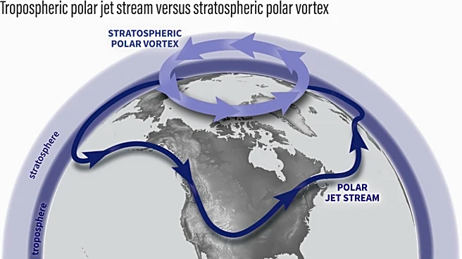
The polar vortex is a persistent, large-scale cyclone that circles the Arctic and contains extremely cold air. The vortex strengthens in the winter as the temperature difference between the poles and mid-latitudes grows higher.
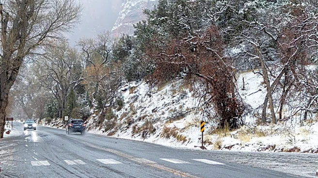
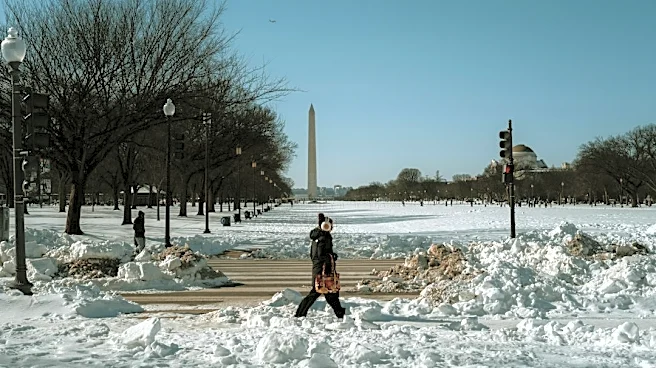
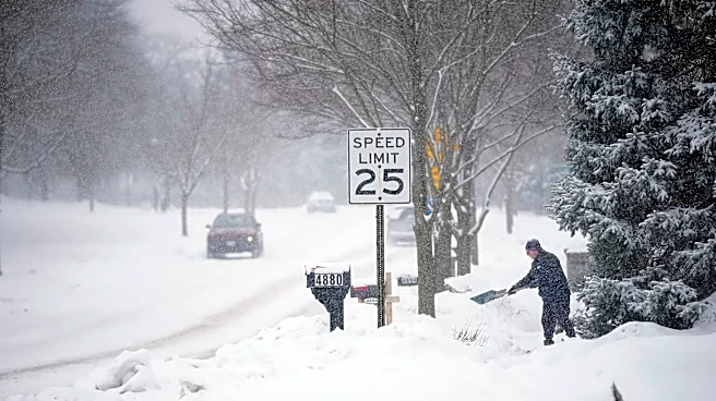
When the circulation is strong and stable, its winds help keep cold air close to the pole. When the vortex weakens, stretches, or moves, it lets cold Arctic air flow farther south. Most of the time, the vortex stays north of the U.S., but fluctuations in strength and position of the polar vortex can allow Arctic air to head for lower latitudes in events known as polar vortex disruptions, often creating widespread cold snaps.

Is the polar vortex getting stronger now? Why?
The polar vortex naturally develops during late summer and fall as sunlight decreases over the Arctic and the stratosphere begins to cool. Recent observations indicate that the polar vortex for the 2026-27 season is strengthening as temperatures cool for the season.
NASA data from mid-September showed that winds around 60 degrees north in the lower stratosphere are above average for this time of year, reflecting typical seasonal changes in the vortex. Forecasts from the European model show that the vortex will become more organized by late September. However, it is expected to return to typical levels in October.
What does a strong polar vortex mean for winter in NC?
A stronger polar vortex in September does not mean that winter will be extremely cold. In fact, a strong vortex can keep the coldest Arctic air farther north, meaning that it is less likely to affect regions further south including the U.S.
What is El Niño? La Niña?
The National Oceanic and Atmospheric Administration explains that El Niño and La Niña are opposing climate patterns that break normal conditions of water and weather in the Pacific Ocean. The patterns have global impacts on weather, wildfires, ecosystems and economies.
During El Niño, meaning "Little Boy" in Spanish, trade winds weaken and warm water is pushed back east, toward the west coast of the Americas.
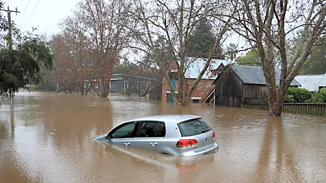
El Niño can affect the weather significantly. Warmer waters cause the Pacific jet stream to move south, causing the northern U.S. and Canada to become drier and warmer than usual. In the Gulf Coast and Southeast, these periods are wetter than usual and have increased flooding.
How does El Niño affect the polar vortex?
The NOAA Climate Prediction Center announced on Sept. 10 that El Niño is getting stronger. There is more than a 90% chance of a very strong El Niño in the Northern Hemisphere during the fall and winter of 2026-27. Additionally, NOAA reported a 75% chance that the period from October to December will reach levels seen in historic-strength events since records began in 1950.
Strong El Niño events can change how the atmosphere works and affect the jet stream. Research shows that El Niño can also influence stratospheric airflow by altering large-scale atmospheric waves. As reported by The Tennessean, a strong El Niño could create conditions that disrupt the polar vortex in midwinter.
Will it be warm this fall in North Carolina?
In North Carolina, a long-range forecast from the NOAA predicted equal chances of above and below normal temperatures in much of the state, with the exception of a southeast section where temperatures are expected to be above normal at a 40-50% likelihood.
Will it be a rainy fall in North Carolina?
As for precipitation, some of the Tar Heel State is placed at equal chances for above and below normal levels, while much of the southeastern portion of the state is placed at a 33-40% chance of above-normal precipitation.
Iris Seaton is the trending news reporter for the Asheville Citizen Times, part of the USA TODAY Network. Reach her at iseaton@citizentimes.com.
Jordan Green of the Memphis Commercial Appeal contributed to this report.
This article originally appeared on Asheville Citizen Times: Polar vortex stirring. How will it, El Niño affect winter 2026 in NC?