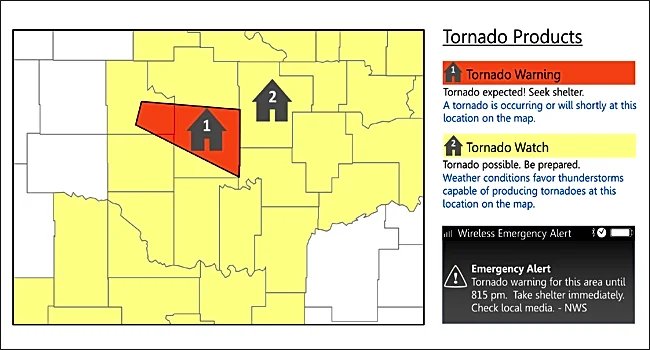






MADISON COUNTY - The National Weather Service confirmed that a tornado touched down in Madison County on July 28, according to a preliminary report released the afternoon of July 30.
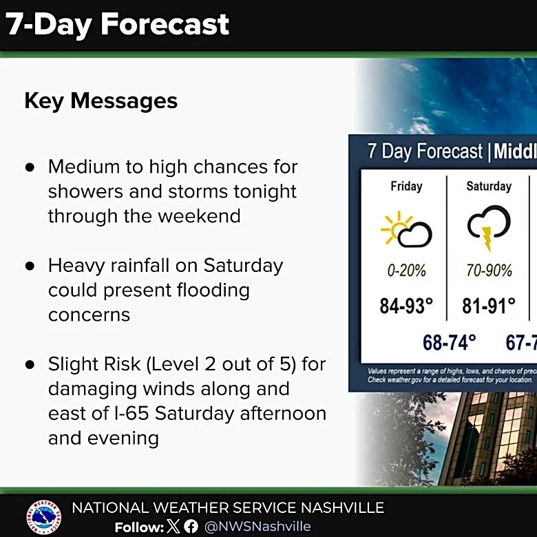
More storms are expected this weekend.
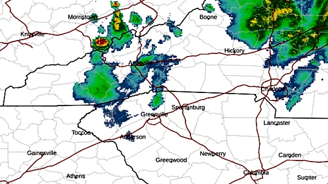
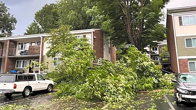
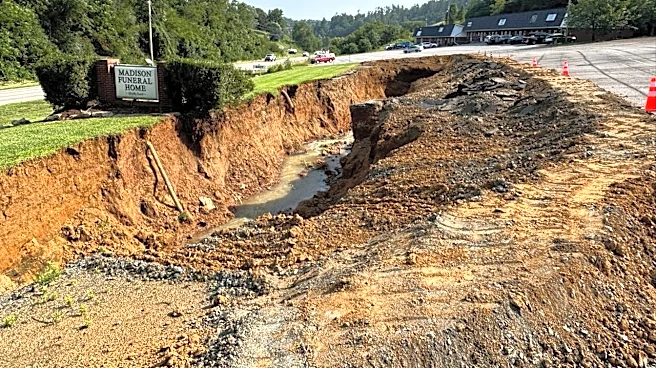
Severe weather struck Western North Carolina a little after 6 p.m. July 28, bringing high winds, heavy rain, thunder and lightning to the area.
The tornado touched down in the Allegheny area of Madison County, with winds peaking at an estimated 80 mph, according to the report.

Initial tree damage, consisting of broken branches and a few uprooted or partially snapped trees, was first observed along Rock Branch Road. The tornado traveled southeast across Highway 212, producing the most concentrated area of damage along the southward
facing slope of Shelton Laurel Creek, where numerous trees were snapped or uprooted, according to the report. The track continued traveling southeast to Cutshall Town Road, where several pine trees were snapped. Investigators noted additional broken branches and uprooted trees in a distant wooded area looking back toward a creek.
A meteorologist with the National Weather Service initially told the Citizen Times July 30 that there were no confirmed tornados in Western North Carolina during the storm, but the agency released its report saying otherwise several hours later.
A photo of a funnel cloud near Weaverville shared widely during the storm turned out to be fake.The image's creator said the AI-generated image was shared on a private chat and never meant to be public, much less viral. It fooled many, including meteorologists.
It was shared on social media and then subsequently deleted by the National Weather Service on July 28.
Kara Fohner is the Public Safety Reporter for the Asheville Citizen Times. Email her at kfohner@usatodayco.com or call her at (980) 241-8671.
This article originally appeared on Asheville Citizen Times: Yes, it was a tornado. Winds peaked at 80 mph, weather service says