

The National Weather Service says that more rainy weather is possible in the Western North Carolina region this week.
As of Wednesday, Aug. 12, the weather service is predicting precipitation with wavering confidence. In the Asheville area, a 30% chance is the highest possibility of rainfall over the next three days.
This climbs to a 40% chance on Saturday, Aug. 15, during the evening hours, before chances evaporate on Sunday, Aug. 16, when mostly sunny weather is expected to close out the weekend in Asheville and much of Western N.C.
Here's what else to know under stormy skies this Wednesday, Aug. 12, in the Asheville area.
Is more rain expected in Asheville? Western NC?
As of Wednesday, Aug. 12, forecasts for Friday night. Aug. 14, in the Asheville area show a 20% chance of showers and thunderstorms
after 3 p.m., becoming partly cloudy overnight. On Saturday, Aug. 15, a 30-40% chance of precipitation, including thunderstorms, is expected throughout the day and nighttime hours, becoming mostly sunny to partly cloudy throughout Sunday, Aug. 16. Similar forecasts are expected throughout much of the Western N.C. region.
North Carolina weather radar
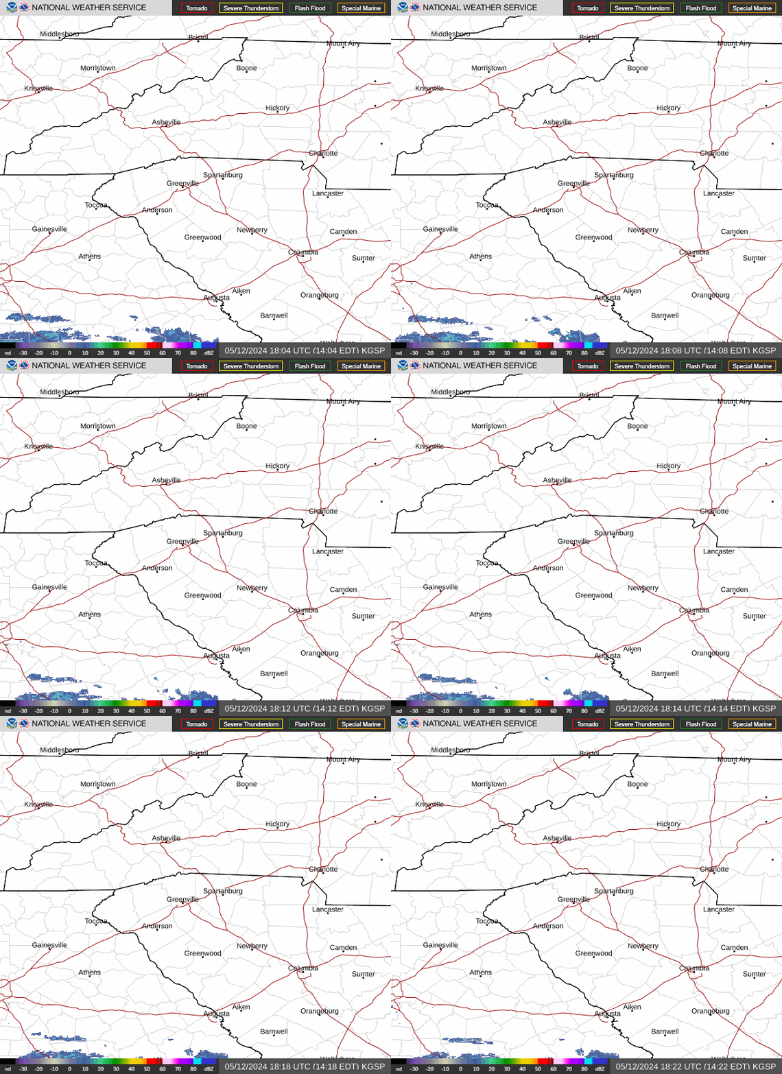
North Carolina weather warnings
Asheville, NC three-day weather forecast
Wednesday, Aug. 12 - A chance of showers and thunderstorms before 2 p.m., then a slight chance of showers between 2-5 p.m., then a slight chance of showers and thunderstorms after 5 p.m. Mostly sunny, with a high near 90 degrees. North northwest wind 5-9 mph. Chance of precipitation is 30%. New rainfall amounts between .1-.25 inches, except higher amounts possible in thunderstorms.
Overnight, a slight chance of showers and thunderstorms before midnight, then a slight chance of showers between 12-1 a.m. Patchy fog after 2 a.m. Otherwise, partly cloudy, with a low around 67 degrees. Light northwest wind. Chance of precipitation is 20%.
Thursday, Aug. 13 - A 30% chance of showers and thunderstorms after 2 p.m. Patchy fog before 10 a.m. Otherwise, mostly sunny, with a high near 91 degrees. Calm wind becoming north northwest around 5 mph. New rainfall amounts of less than .1 inches, except higher amounts possible in thunderstorms. Overnight, mostly cloudy, then gradually becoming mostly clear, with a low around 69 degrees. Calm wind.
Friday, Aug. 14 - A 20% chance of showers and thunderstorms after 3 p.m. Mostly sunny, with a high near 92 degrees. Calm wind becoming northwest 5-7 mph in the morning. Overnight, partly cloudy, with a low around 71 degrees.
Hendersonville, NC three-day weather forecast
Wednesday, Aug. 12 - A slight chance of showers, then a chance of showers and thunderstorms after 2 p.m. Partly sunny, with a high near 88 degrees. North northwest wind 5-8 mph. Chance of precipitation is 30%. New rainfall amounts of less than .1 inches, except higher amounts possible in thunderstorms.
Overnight, a 30% chance of showers and thunderstorms before 8 p.m. Patchy fog after 2 a.m. Otherwise, partly cloudy, with a low around 68 degrees. Light west northwest wind. New precipitation amounts of less than .1 inches, except higher amounts possible in thunderstorms.
Thursday, Aug. 13 - A 40% chance of showers and thunderstorms after 2 p.m. Patchy fog before 10 a.m. Otherwise, mostly sunny, with a high near 89 degrees. Northwest wind around 5 mph becoming calm in the afternoon. New rainfall amounts of less than .1 inches, except higher amounts possible in thunderstorms. Overnight, partly cloudy, with a low around 69 degrees. Calm wind.
Friday, Aug. 14 - A 30% chance of showers and thunderstorms, mainly after 3 p.m. Mostly sunny, with a high near 90 degrees. Northwest wind around 5 mph. Overnight, a 30% chance of showers and thunderstorms before 8 p.m. Partly cloudy, with a low around 71 degrees.
Iris Seaton is the trending news reporter for the Asheville Citizen Times, part of the USA TODAY Network. Reach her at iseaton@citizentimes.com.
This article originally appeared on Asheville Citizen Times: Another round of rain, storms predicted in Western North Carolina