
A rainy spell continues in Western North Carolina the morning of Thursday, July 23, with a related flood watch issued by the National Weather Service active through the evening.
Though weather caused by
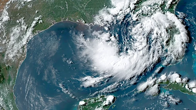
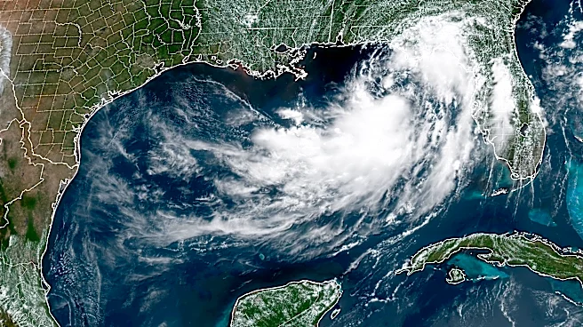
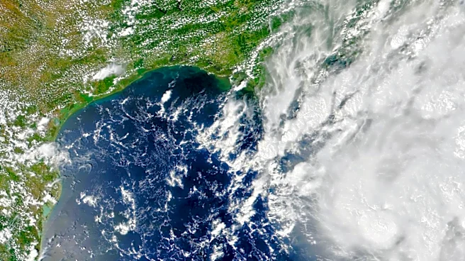
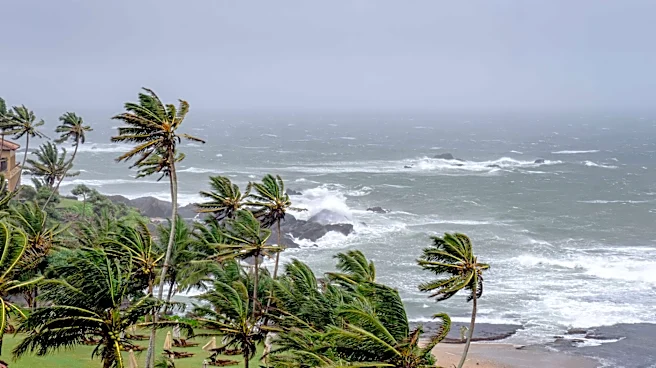
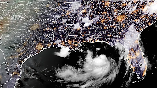
Tropical Storm Bertha, located off the Gulf Coast, continues to affect south-central Louisiana to the upper Texas coast, plus portions of the Mississippi and Louisiana coastlines still under a coastal flood warning, North Carolina's inclement weather is unrelated.
Despite this, the flood watch issued by the weather service at 10:54 p.m. Wednesday night for portions of the Piedmont and Western N.C. regions remains in place, with certain areas believed to see as high as 5 inches. Here's what else to know in the Asheville area today and into the weekend.
Flood watch in Asheville, Western NC
A flood watch was issued at 10:54 p.m. on Wednesday, July 22, for portions of the Piedmont and Western N.C. The watch warned that flash flooding caused by excessive rainfall continues to be possible and will remain a risk through Thursday evening, July 23. In particular, it pointed towards excessive runoff which could result in the flooding of creeks, streams and other low-lying and flood-prone locations including some urban areas along I-77 and I-40 corridors.
The notice added that waves of heavy rain showers and scattered thunderstorms are expected to move along a slow-moving cold front into Thursday, July 23; while widespread rainfall amounts of 1-2 inches are expected across Western N.C. through tonight, isolated locations could see "multiple rounds of very heavy rainfall," with localized amounts as high as 5 inches possible.
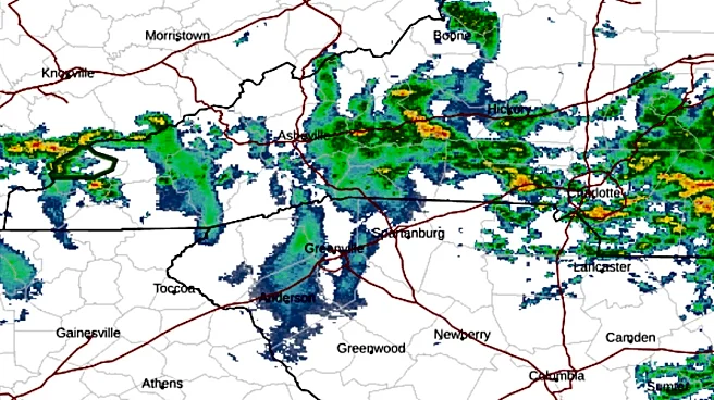
North Carolina weather radar
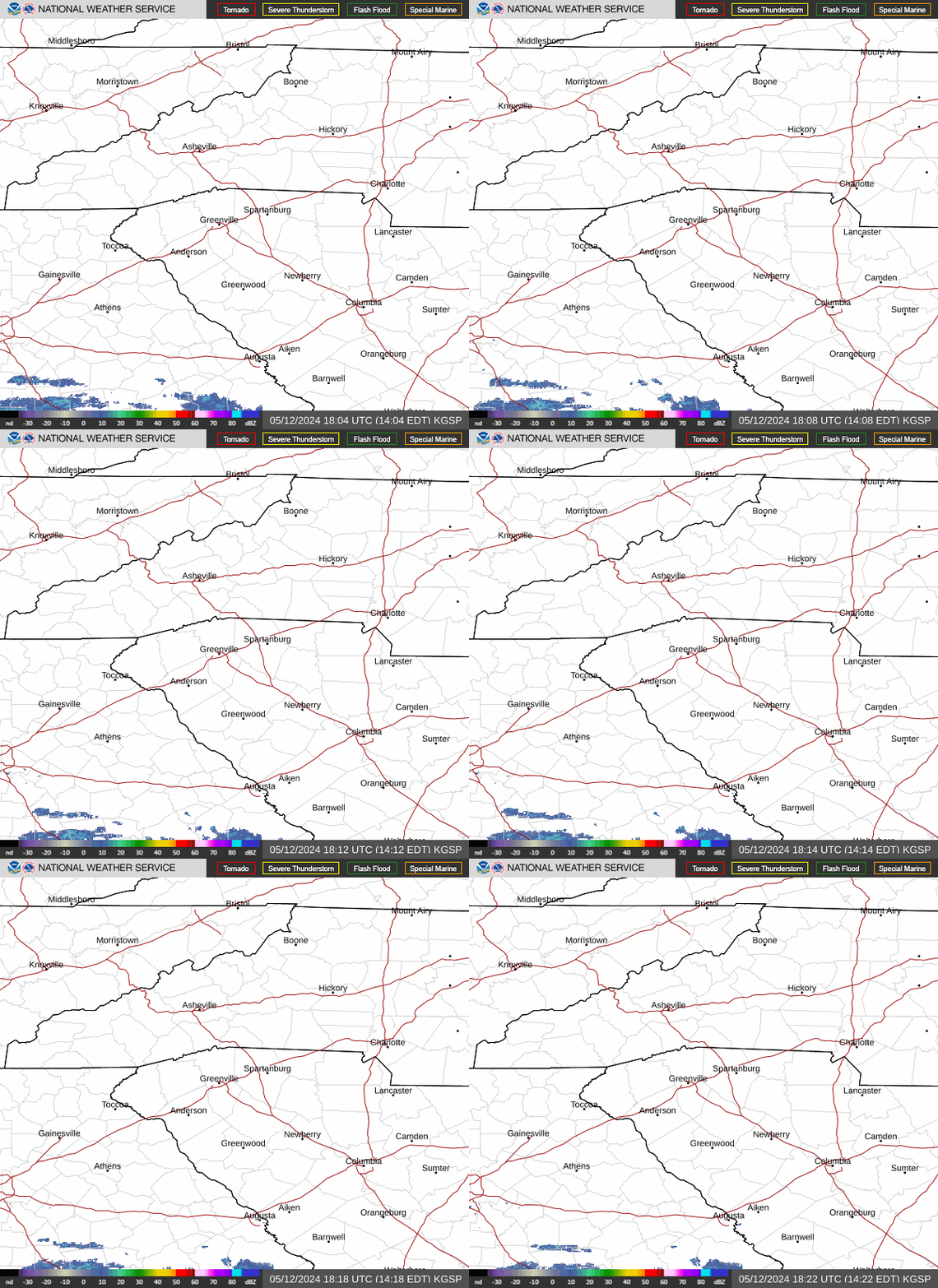
North Carolina weather warnings
Asheville, NC three-day weather forecast
Thursday, July 23 - Showers and possibly a thunderstorm. Patchy fog between 4-5 p.m. High near 79 degrees. Calm wind. Chance of precipitation is 90%. New rainfall amounts between .25-.5 inches possible. Overnight, showers and thunderstorms likely before 11 p.m., then a chance of showers. Patchy fog. Otherwise, mostly cloudy, with a low around 64 degrees. Light east southeast wind. Chance of precipitation is 60%. New precipitation amounts between .1-.25 inches, except higher amounts possible in thunderstorms.
Friday, July 24 - A chance of showers and thunderstorms, then showers and possibly a thunderstorm after noon. Patchy fog before 11 a.m. High near 77 degrees. Calm wind becoming east southeast around 5 mph in the afternoon. Chance of precipitation is 80%. New rainfall amounts of less than .1 inches, except higher amounts possible in thunderstorms.
Overnight, showers and thunderstorms likely before 11 p.m., then a chance of showers. Mostly cloudy, with a low around 66 degrees. Calm wind. Chance of precipitation is 60%. New precipitation amounts of less than .1 inches, except higher amounts possible in thunderstorms.
Saturday, July 25 - A chance of showers before 11 a.m., then a chance of showers and thunderstorms between 11 a.m.-2 p.m., then showers likely and possibly a thunderstorm after 2 p.m. Mostly cloudy, with a high near 81 degrees. Calm wind. Chance of precipitation is 70%. Overnight, showers and thunderstorms likely before 11 p.m., then a slight chance of showers after 2 a.m. Partly cloudy, with a low around 64 degrees. Chance of precipitation is 60%.
Hendersonville, NC three-day weather forecast
Thursday, July 23 - Showers and possibly a thunderstorm. High near 77 degrees. Calm wind. Chance of precipitation is 100%. New rainfall amounts between .5-.75 inches possible. Overnight, showers and possibly a thunderstorm before midnight, then a chance of showers and thunderstorms between 12-2 a.m., then a chance of showers after 2 a.m. Patchy fog. Low around 64 degrees. Calm wind. Chance of precipitation is 80%. New rainfall amounts between .1-.25 inches, except higher amounts possible in thunderstorms.
Friday, July 24 - Showers and thunderstorms likely, mainly before 4 p.m. Patchy fog before 11 a.m. Otherwise, mostly cloudy, with a high near 73 degrees. Light east wind. Chance of precipitation is 60%. New rainfall amounts of less than .1 inches, except higher amounts possible in thunderstorms. Overnight, a chance of showers and thunderstorms. Mostly cloudy, with a low around 65 degrees. Calm wind. Chance of precipitation is 50%. New precipitation amounts of less than .1 inches, except higher amounts possible in thunderstorms.
Saturday, July 25 - Showers and thunderstorms likely, then showers and possibly a thunderstorm after 5 p.m. High near 78 degrees. Calm wind. Chance of precipitation is 80%. Overnight, showers and thunderstorms likely before 2 a.m., then a slight chance of showers between 2-3 a.m. Partly cloudy, with a low around 64 degrees. Chance of precipitation is 60%.
Iris Seaton is the trending news reporter for the Asheville Citizen Times, part of the USA TODAY Network. Reach her at iseaton@citizentimes.com.
This article originally appeared on Asheville Citizen Times: Flood watch issued in Western North Carolina as rain, storms hit