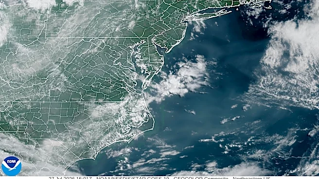



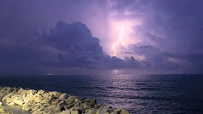
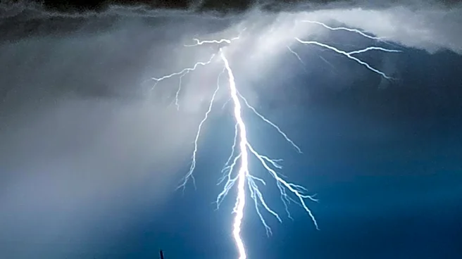
Though skies are overall clearer this week than they were last week in the Western North Carolina region, the National Weather Service is predicting storms today, July 28.
Last week brought alerts around severe storms to the Western N.C. area and surrounding regions, with flash flooding observed in several parts of the region, including Swannanoa. Weather service officials advised those driving in the area to avoid taking chances with floodwaters and to remember "turn around, don't drown."
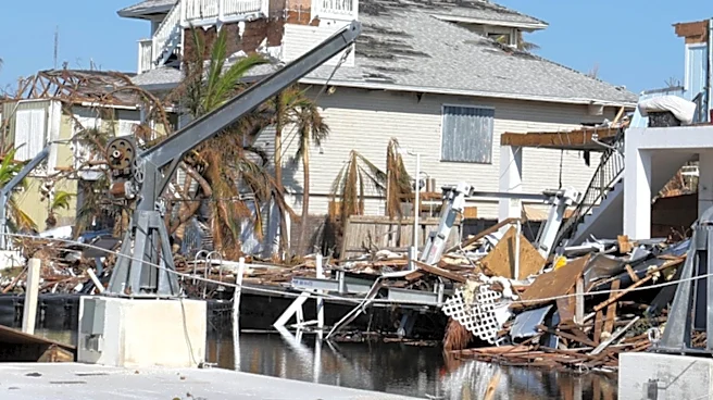
"We know that for many in western North Carolina, scenes like this bring back memories of Hurricane Helene," a post on the floods from the National Weather Service stated.
Further severe thunderstorms are expected Tuesday, July 28; however, the weather service
has warned mainly of damaging winds and isolated large hail, rather than flooding, as main concerns. Here's what else to know in Western N.C.
Severe thunderstorms in North Carolina?
The weather service's Greenville-Spartanburg office posted on its Facebook account July 27, notifying the public that severe storms are possible ahead of a cold front Tuesday afternoon and evening, July 28. Damaging winds and large hail are the main concerns with any severe storms that develop in the area, and timing of the most intense storms is expected between 2-5 p.m. in the Western N.C. region.
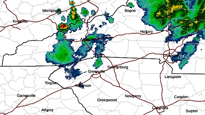
North Carolina weather radar
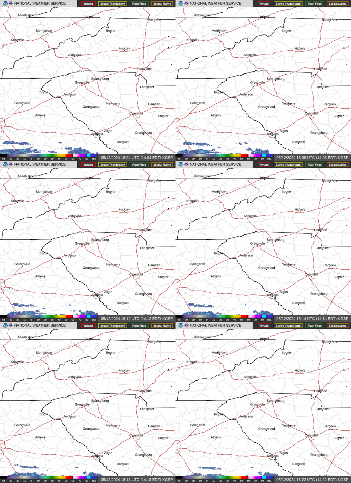
North Carolina weather warnings
Asheville, NC three-day weather forecast
Tuesday, July 28 - A 50% chance of showers and thunderstorms, mainly after noon. Partly sunny, with a high near 91 degrees. Light and variable wind becoming west northwest 6-11 mph in the afternoon. Winds could gust as high as 22 mph. New rainfall amounts of less than .1 inches, except higher amounts possible in thunderstorms.
Overnight, a 30% chance of showers and thunderstorms, mainly before 8 p.m. Partly cloudy, with a low around 66 degrees. Northwest wind 7-11 mph, with gusts as high as 25 mph. New precipitation amounts of less than .1 inches, except higher amounts possible in thunderstorms.
Wednesday, July 29 - Partly sunny, then gradually becoming sunny, with a high near 82 degrees. Northwest wind 9-14 mph, with gusts as high as 23 mph. Overnight, mostly clear, with a low around 58 degrees. Northwest wind 6-11 mph, with gusts as high as 22 mph.
Thursday, July 30 - Sunny, with a high near 81 degrees. North northwest wind 8-10 mph, with gusts as high as 18 mph. Overnight, mostly clear, with a low around 57 degrees.
Hendersonville, NC three-day weather forecast
Tuesday, July 28 - A 40% chance of showers and thunderstorms, mainly after 1 p.m. Mostly sunny, with a high near 89 degrees. Light northwest wind becoming west 5-9 mph in the afternoon. Winds could gust as high as 20 mph. Overnight, a 20% chance of showers and thunderstorms before 9 p.m. Partly cloudy, with a low around 67 degrees. Northwest wind 7-10 mph, with gusts as high as 21 mph.
Wednesday, July 29 - Partly sunny, then gradually becoming sunny, with a high near 82 degrees. Northwest wind around 11 mph, with gusts as high as 22 mph. Overnight, clear, with a low around 60 degrees. North northwest wind 7-13 mph, with gusts as high as 23 mph.
Thursday, July 30 - Sunny, with a high near 81 degrees. North northwest wind 8-10 mph, with gusts as high as 20 mph. Overnight, mostly clear, with a low around 59 degrees.
Iris Seaton is the trending news reporter for the Asheville Citizen Times, part of the USA TODAY Network. Reach her at iseaton@citizentimes.com.
This article originally appeared on Asheville Citizen Times: Severe storms expected in Western NC today, July 27. Latest forecast