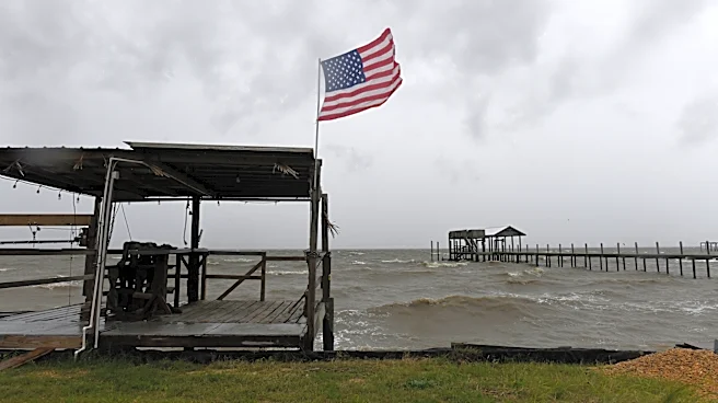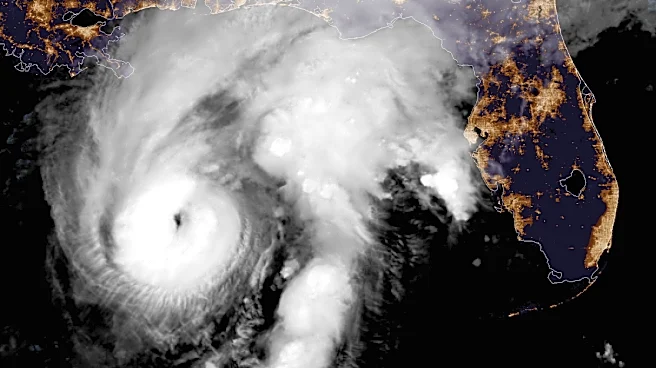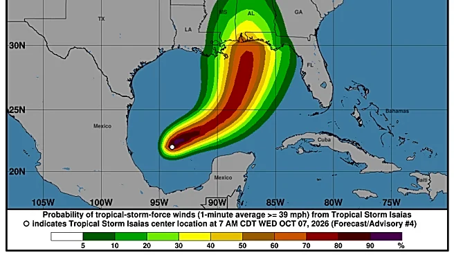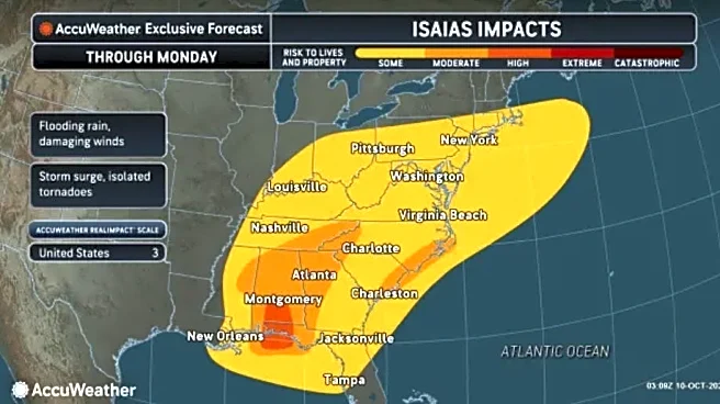

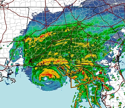





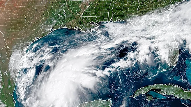
Hurricane Isaias made landfall as a Category 2 hurricane on Friday, Oct. 9, near Destin, Florida, at around 9:30 p.m. ET with sustained winds of 105 mph, bringing storm surges and flooding to many Gulf Coast communities, according to the National Hurricane Center.
As of 7:50 a.m. on Saturday, Oct. 10, Isaias had dissipated into a tropical depression. As the storm continues to move inland, flooding rains, damaging winds and power outages are possible in Western North Carolina.
"Although the center of Isaias is forecast to pass well to our west, tropical moisture will impact our area, bringing heavy rainfall and potential flash flooding over the mountains, foothills, and northeast Georgia as well as very gusty winds, especially at high elevations,"
read a Facebook post from the National Weather Service Greenville-Spartanburg.
Although North Carolina is in the direct path of Isaias's center, Western N.C. communitiesremain under a wind advisory and high wind warning until Sunday, Oct. 11, at 8 a.m., and a flood watch from Saturday, Oct. 10, at 8 a.m. through Sunday, Oct. 11, at 2 p.m.
Hurricane Isaias landfall: Track the storm as it moves inland
North Carolina power outage map
More than 560,000 electrical outages were reported across southern Alabama and the western end of the Florida Panhandle after landfall. As of 7 a.m. on Oct. 10, tens of thousands of power outages were reported in Georgia. Take a look below to see power outages
Isaias impact: Asheville, Western North Carolina weekend weather forecast
Here's a look at how much rain could be seen in the Upstate South Carolina area; some communities in higher elevations could see more rain.
Saturday, Oct. 10: Showers, with thunderstorms also possible after 2 p.m. Patchy fog before 1 p.m., then patchy fog after 3 p.m. High near 64. Breezy, with an east wind 13 to 20 mph, with gusts as high as 43 mph. Chance of precipitation is 100%. New rainfall amounts between a half and three quarters of an inch possible.
Overnight, Oct. 10: Showers and possibly a thunderstorm. Patchy fog. Low around 59. East wind 14 to 18 mph, with gusts as high as 39 mph. Chance of precipitation is 100%. New rainfall amounts between 1 and 2 inches possible.
Sunday, Oct. 11: Showers likely, mainly before 7 a.m. Patchy fog before 10 a.m. Otherwise, partly sunny, with a high near 71. South southeast wind 9 to 14 mph becoming west in the afternoon. Winds could gust as high as 25 mph. Chance of precipitation is 60%. New precipitation amounts between a quarter and half of an inch possible. Overnight: A 30% chance of showers, mainly between 7 p.m. and 11 p.m. Mostly cloudy, with a low around 58. Northwest wind 7 to 13 mph, with gusts as high as 26 mph. New precipitation amounts of less than a tenth of an inch possible.
Columbus Day, Monday, Oct. 12: Mostly sunny, with a high near 75. Northwest wind 15 to 17 mph, with gusts as high as 31 mph. Overnight: Clear, with a low around 52.
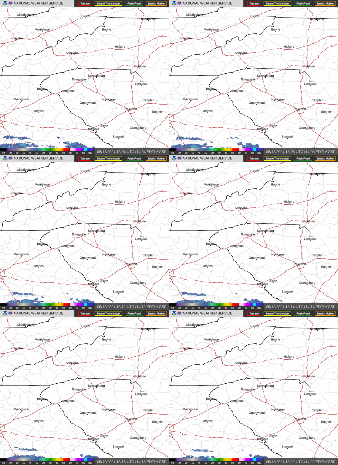
Asheville, Western North Carolina weather radar
North Carolina weather watches and warnings
This article originally appeared on Asheville Citizen Times: Isaias remnants prompts high wind advisory, flood watch for Western NC