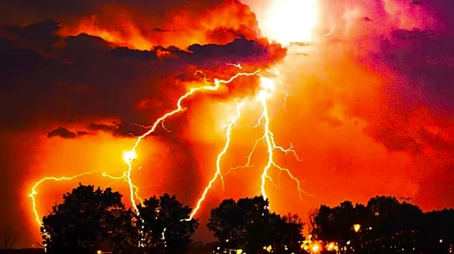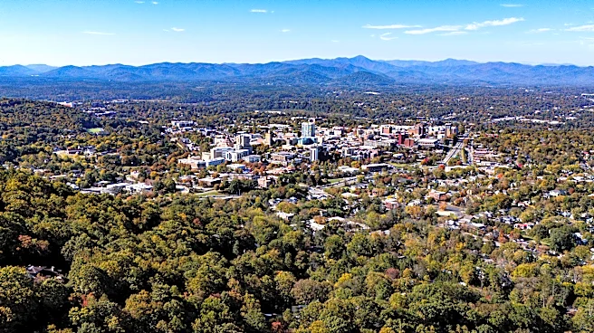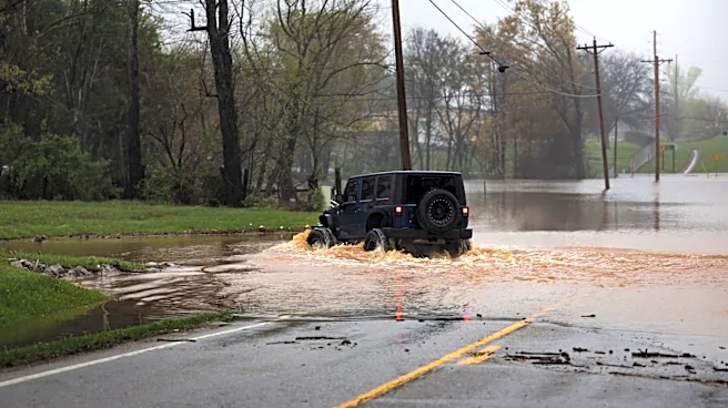


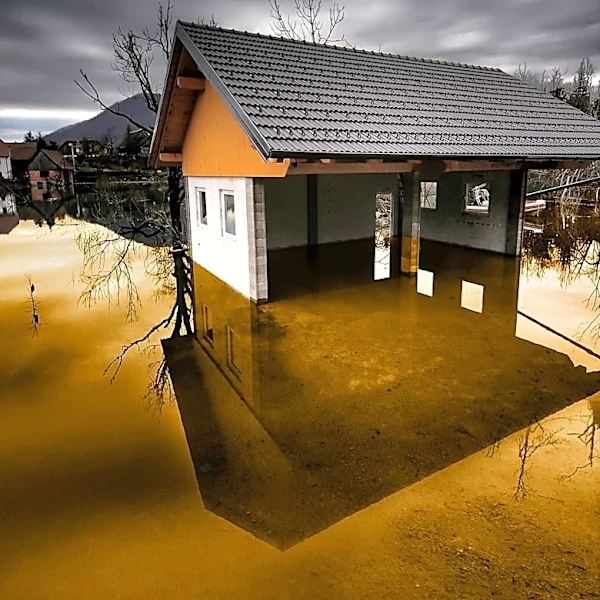


Storms are expected over the weekend throughout Western North Carolina ― and forecasts now expect inclement weather to move in slightly sooner.
The National Weather Service previously placed chances of showers and thunderstorms in the Asheville area at around 30% on Saturday, Aug. 1, during the daytime hours, following several days of sunny weather in the Western N.C. region. Overnight, this chance was expected to rise, with inclement weather continuing through Sunday, Aug. 2, and into the beginning of next week.
These chances have increased slightly for Saturday's daytime hours in Asheville and surrounding areas, with predictions that rain and thunderstorms will continue with some brief breaks at least through Tuesday, Aug. 4. Here's what else
to know this weekend in the Western N.C. region as National Weather Service predictions continue to fluctuate.
Will it be a rainy weekend in Asheville? Western NC?
Though previous forecasts for Western N.C. showed that rainy weather would be unlikely in the Asheville area until Saturday night, Aug. 1, a shift in weather patterns has resulted in the weather service forecasting a 50% chance of showers and thunderstorms in the area on Saturday, Aug. 1, mainly during the daytime, with new rainfall amounts of less than .1 inches expected except in the event of thunderstorms.
The night of Aug. 1 brings an 80% chance of further showers and thunderstorms, which will continue with the same probability through Sunday, Aug. 2, during the day and nighttime hours.
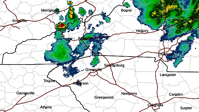
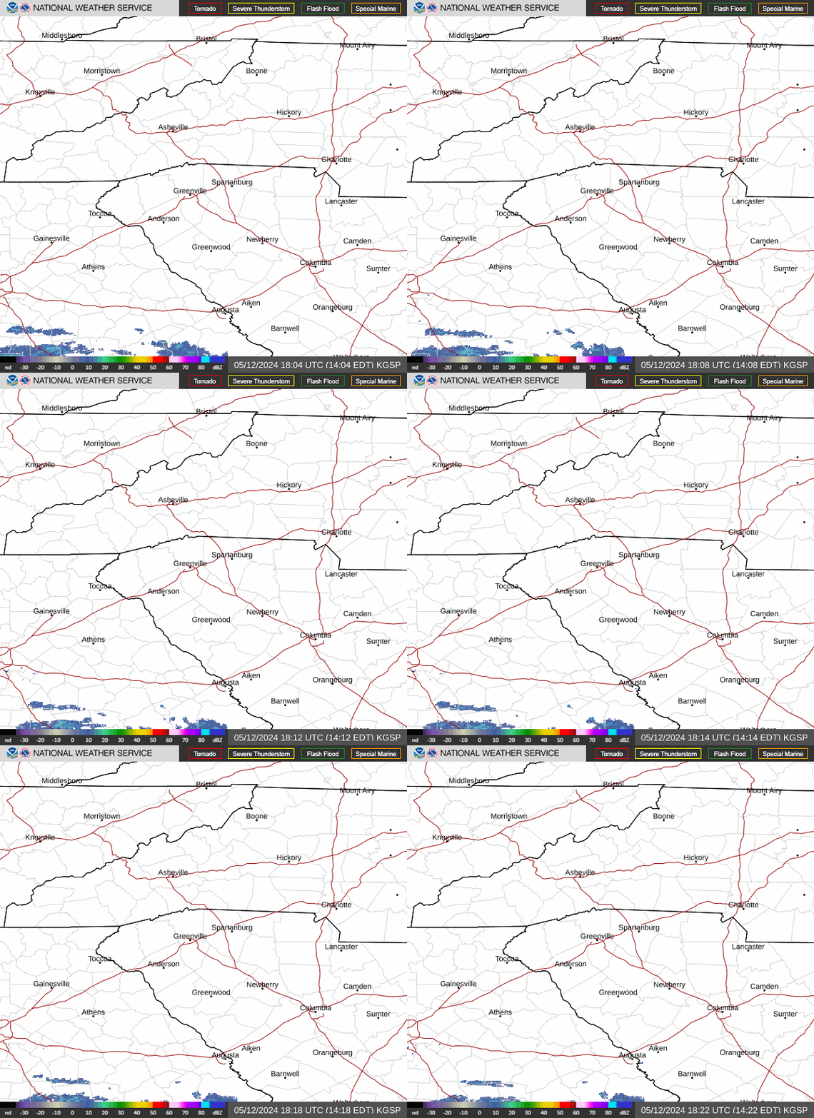
North Carolina weather radar
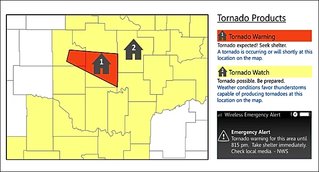
North Carolina weather warnings
Asheville, NC weekend weather forecast
Friday, July 31 - Mostly sunny, with a high near 87 degrees. Calm wind. Overnight, partly cloudy, with a low around 64 degrees. Light east wind.
Saturday, Aug. 1 - A 40% chance of showers and thunderstorms after 2 p.m. Partly sunny, with a high near 84 degrees. Light southeast wind becoming south southeast 6-11 mph in the morning. Winds could gust as high as 20 mph. New rainfall amounts of less than .1 inches, except higher amounts possible in thunderstorms.
Overnight, a chance of showers and thunderstorms before 11 p.m., then showers likely and possibly a thunderstorm between 11 p.m.-5 a.m., then showers likely after 5 a.m. Mostly cloudy, with a low around 67 degrees. South southeast wind around 8 mph. Chance of precipitation is 70%. New rainfall amounts between .1-.25 inches, except higher amounts possible in thunderstorms.
Sunday, Aug. 2 - Showers and thunderstorms likely, then showers and possibly a thunderstorm after noon. High near 81 degrees. South wind 7-9 mph. Chance of precipitation is 80%. Overnight, a chance of showers and thunderstorms. Mostly cloudy, with a low around 66 degrees. Chance of precipitation is 40%.
Hendersonville, NC weekend weather forecast
Friday, July 31 - Mostly sunny, with a high near 85 degrees. Calm wind becoming south around 5 mph in the afternoon. Overnight, partly cloudy, with a low around 64 degrees. Calm wind.
Saturday, Aug. 1 - A 50% chance of showers and thunderstorms, mainly after 2 p.m. Partly sunny, with a high near 81 degrees. Calm wind becoming south 5-9 mph in the morning. New rainfall amounts of less than .1 inches, except higher amounts possible in thunderstorms.
Overnight, showers and thunderstorms likely before 11 p.m., then showers and possibly a thunderstorm between 11 p.m.-5 a.m., then showers after 5 a.m. Low around 66 degrees. South wind around 6 mph becoming calm in the evening. Chance of precipitation is 80%. New rainfall amounts between .25-.5 inches possible.
Sunday, Aug. 2 - Showers likely, then showers and possibly a thunderstorm after 11 a.m. High near 77 degrees. South wind 3-8 mph. Chance of precipitation is 80%. Overnight, showers and thunderstorms before 2 a.m., then a chance of showers. Low around 66 degrees. Chance of precipitation is 80%.
Iris Seaton is the trending news reporter for the Asheville Citizen Times, part of the USA TODAY Network. Reach her at iseaton@citizentimes.com.
This article originally appeared on Asheville Citizen Times: Chances of weekend storms increase in Western NC. When it will hit