


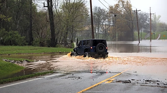

Following a rainy week in Western North Carolina, the National Weather Service is forecasting further inclement weather for much of the weekend in the area.
Areas of Western N.C. were placed under a flood watch this week, which began Wednesday night, July 22, and ended Thursday, July 23. The watch warned that, with heavy rain and thunderstorms sweeping through the area, some locations could receive upwards of 5 inches of rain.
As of Friday morning, July 24, no watches or warnings are active in Western N.C. However, further rain and possible thunderstorms are expected through the weekend. Here's what to know.
Did it flood in Asheville, Western NC?
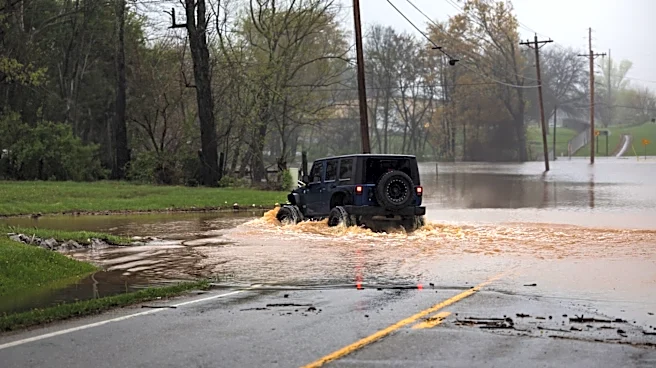
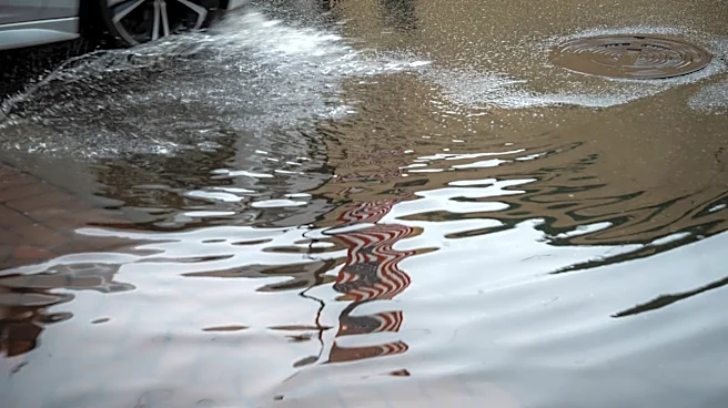
According to the National Weather Service Greenville Spartanburg Facebook page, heavy rainfall yesterday evening produced flash flooding in parts
of Buncombe County, including the Asheville area.
A video attached to the post showed roads and properties flooded in Swannanoa, NC.
"We know that for many in western North Carolina, scenes like this bring back memories of Hurricane Helene," the post stated. Weather service officials advised those driving in the area to avoid taking chances with floodwaters and to remember "turn around, don't drown."
How much did it rain in Asheville, NC?
According to weather service records, several areas of Western N.C. saw extremely heavy rain on Thursday, July 23 and other recent days. In the Asheville area, the rainfall broke a record when the area received 1.73 recorded inches of precipitation, breaking its previous 1908 record of 1.65 inches.
Will it rain all weekend in Asheville, NC?
According to the latest weather service reports, rain is expected for much of the weekend in the Asheville area, with some breaks in the weather expected on Saturday night, July 25, and lower chances during the daytime hours on Saturday. There is also only a 20% chance of thunderstorms on Sunday, July 26, and weather is expected to be mostly clear in the area by Sunday night.
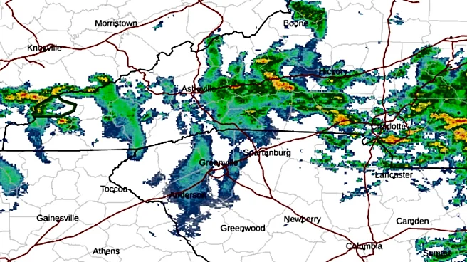
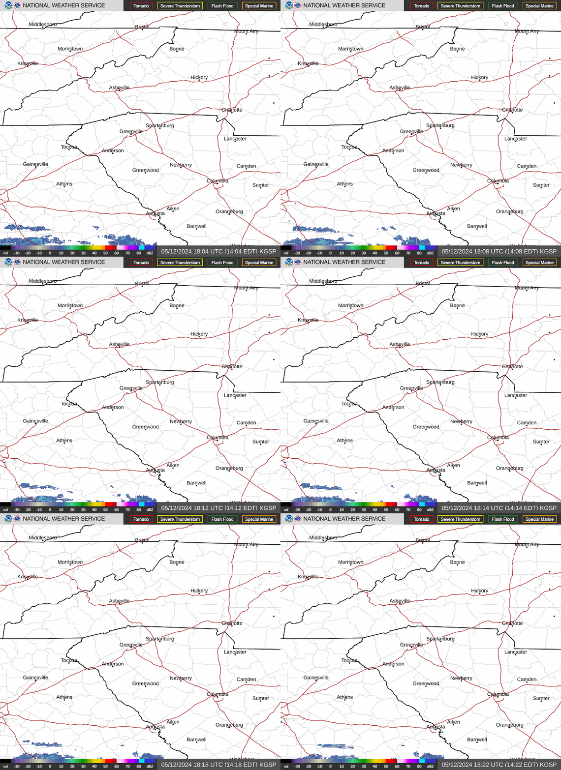
North Carolina weather radar
Asheville, NC weekend weather forecast
Friday, July 24 - A chance of showers and thunderstorms, then showers likely and possibly a thunderstorm after 2 p.m. Patchy fog. Otherwise, mostly cloudy, with a high near 76 degrees. Southeast wind 3-5 mph. Chance of precipitation is 70%. New rainfall amounts between .1-.25 inches, except higher amounts possible in thunderstorms.
Overnight, showers and thunderstorms before 2 a.m., then a slight chance of showers between 2-3 a.m. Patchy fog. Low around 65 degrees. Calm wind. Chance of precipitation is 80%. New precipitation amounts between .1-.25 inches, except higher amounts possible in thunderstorms.
Saturday, July 25 - A slight chance of showers, then a chance of showers and thunderstorms after 2 p.m. Areas of fog before 10 a.m. Otherwise, partly sunny, with a high near 81 degrees. Calm wind becoming north northwest around 5 mph in the afternoon. Chance of precipitation is 30%. New rainfall amounts of less than .1 inches, except higher amounts possible in thunderstorms.
Overnight, a chance of showers and thunderstorms before 8 p.m., then a slight chance of showers after 5 a.m. Partly cloudy, with a low around 63 degrees. Light northwest wind. Chance of precipitation is 30%. New precipitation amounts of less than .1 inches, except higher amounts possible in thunderstorms.
Sunday, July 26 - A slight chance of showers, with thunderstorms also possible after 11 a.m. Mostly sunny, with a high near 85 degrees. Calm wind becoming north northwest around 6 mph in the afternoon. Chance of precipitation is 20%. Overnight, mostly clear, with a low around 64 degrees.
Hendersonville, NC weekend weather forecast
Friday, July 24 - A 50% chance of showers and thunderstorms, mainly after 1 p.m. Patchy fog. Otherwise, mostly cloudy, with a high near 72 degrees. Light east southeast wind. New rainfall amounts of less than .1 inches, except higher amounts possible in thunderstorms.
Overnight, showers and thunderstorms likely before 2 a.m., then a slight chance of showers between 2-3 a.m. Patchy fog. Otherwise, mostly cloudy, with a low around 65 degrees. Calm wind. Chance of precipitation is 70%. New rainfall amounts between .1-.25 inches, except higher amounts possible in thunderstorms.
Saturday, July 25 - A slight chance of showers, then a chance of showers and thunderstorms after 2 p.m. Areas of fog before 10 a.m. Otherwise, partly sunny, with a high near 79 degrees. Light north northwest wind. Chance of precipitation is 30%. New rainfall amounts of less than .1 inches, except higher amounts possible in thunderstorms. Overnight, a 30% chance of showers and thunderstorms before 8 p.m. Partly cloudy, with a low around 63 degrees. Calm wind. New precipitation amounts of less than .1 inches, except higher amounts possible in thunderstorms.
Sunday, July 26 - A slight chance of showers, then a chance of showers and thunderstorms after 11 a.m. Mostly sunny, with a high near 83 degrees. Light north northwest wind. Chance of precipitation is 30%. Overnight, mostly clear, with a low around 64 degrees.
Iris Seaton is the trending news reporter for the Asheville Citizen Times, part of the USA TODAY Network. Reach her at iseaton@citizentimes.com.
This article originally appeared on Asheville Citizen Times: Western NC sees flash floods after July 23 storms. And more is on the way