

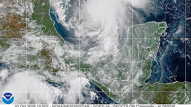
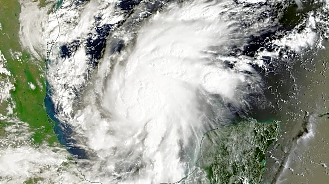
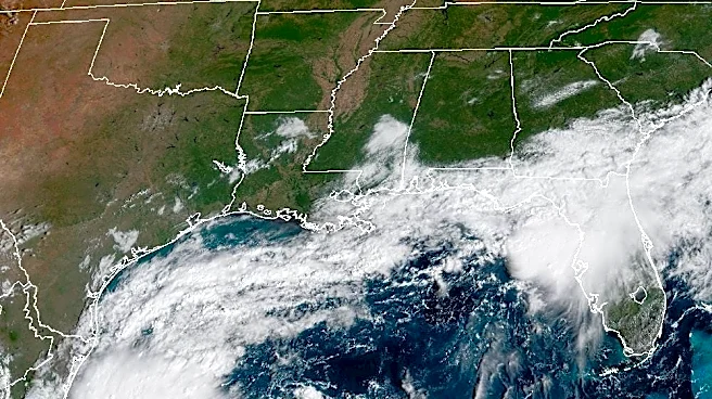
Hurricane Isaias has strengthened once again as it approaches the U.S. Gulf Coast, and impacts are expected in Western North Carolina over the weekend.
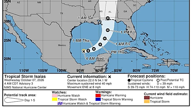
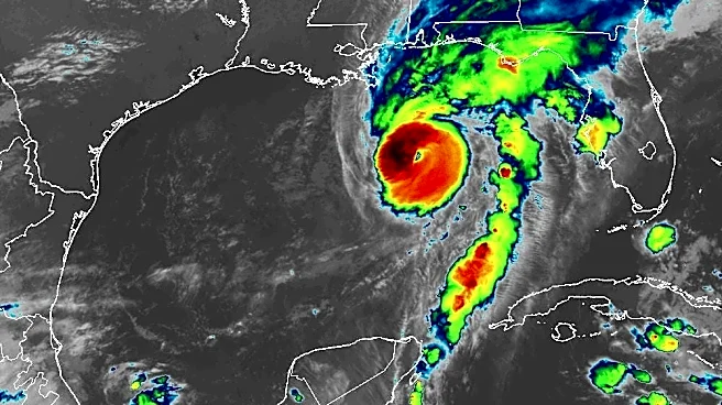

"Just-received data from an Air Force Reserve Hurricane Hunter aircraft indicate that Isaias has strengthened to a major hurricane with maximum sustained winds of 120 mph," the National Hurricane Center said in an update Friday morning, Oct. 9.
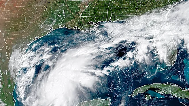
As of 10 a.m., Hurricane Isaias was moving north-northeast at 16 mph. Forecasters expect Isaias to make landfall near Pensacola, Florida, with tropical storm conditions expected from New Orleans to the Tallahassee, Florida area.
Despite the strengthening storm, local forecasters have noted that residents of the Carolinas should not expect an event that will
cause the widespread destruction brought by Helene, which was a tropical storm by the time it swept through Western N.C.
Here's what to know as Isaias moves toward landfall.
Is Isaias a hurricane yet?
Yes. Isaias is now a major hurricane, which is expected to strengthen as it approaches the Gulf Coast Friday, Oct. 9. Life-threatening storm surge is expected along a portion of the northern Gulf Coast, with a Storm Surge Warning in effect from the mouth of the Mississippi River to Suwannee, Florida.
Will Hurricane Isaias affect North Carolina?
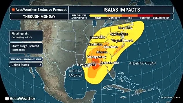
Damaging wind gusts are expected over a large portion of the southeastern U.S., with areas of heavy rainfall also expected and considerable flash and urban flooding as well as river flooding are possible.
How much rain will Asheville, Western NC get from Hurricane Isaias?

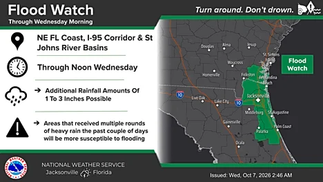
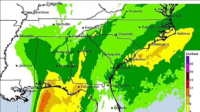
According to the most recent maps from the National Oceanic and Atmospheric Administration, Western N.C. could see between 1-3 inches of rain associated with Hurricane Isaias, with higher local amounts possible in certain areas including the Blue Ridge Escarpment.
Will Hurricane Isaias cause flooding in Asheville, Western NC?

According to maps from NOAA on Oct. 9, parts of Western N.C. could see up to a 15% chance of flooding, as well as parts of the Southern region of the state and along the coast.
Will Hurricane Isaias be as bad as Hurricane Helene?
The National Weather Service of Greenville-Spartanburg posted on Facebook Thursday, Oct. 8, acknowledging the concerns of many communities still recovering from the impacts of Hurricane Helene. However, the post reassured those concerned that Isaias's impacts on North Carolina will not be anything close to the catastrophic flooding and winds that Helene - a tropical storm by the time it swept through Western N.C. - brought to the Tar Heel State.
While Helene brought 15-30 inches of rain to the Carolinas, Isaias is only expected to bring 1-3 inches, with locally higher amounts in certain areas. Helene brought sustained wind speeds of 60 mph and higher, while Isaias is expected to create winds in the Carolinas of 15-25 mph with gusts of up to 30-40.
Finally, the weather service noted the multiple days of heavy rainfall and flash flooding prior to Helene's arrival in the Carolinas that greatly enhanced the destruction caused by Helene itself, noting that such weather will not be present in the Carolinas before Isaias.
Where is Hurricane Isaias now? Storm tracker
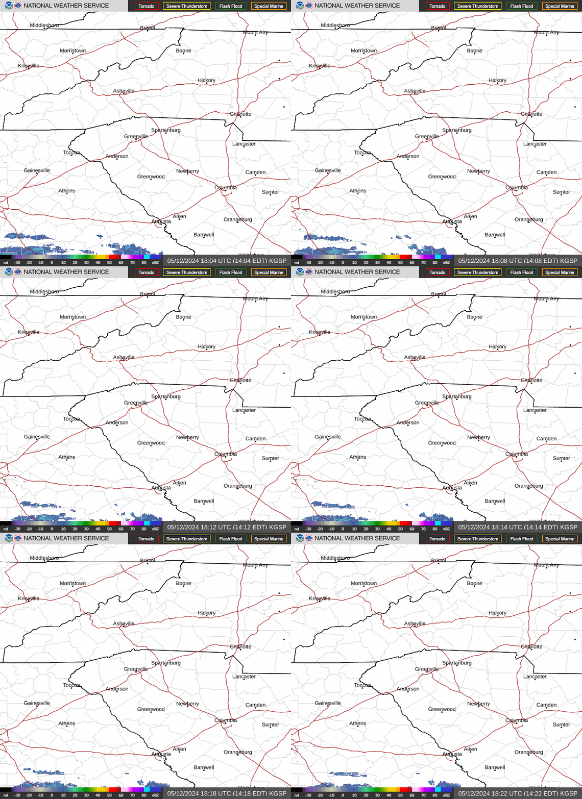
North Carolina weather radar
Asheville, Western NC weekend weather
Friday, Oct. 9 - Mostly cloudy, with a high near 76 degrees. Calm wind becoming east southeast around 6 mph in the afternoon. Overnight, showers likely, mainly after 5 a.m. Cloudy, with a low around 53 degrees. East southeast wind 5-8 mph, with gusts as high as 20 mph. Chance of precipitation is 60%. New precipitation amounts of less than .1 inches possible.
Saturday, Oct. 10 - Showers. Patchy fog after 1 p.m. High near 64 degrees. East wind 13-18 mph, with gusts as high as 34 mph. Chance of precipitation is 90%. New precipitation amounts between .25-.5 possible. Overnight, showers, with thunderstorms also possible after 11 p.m. Low around 58 degrees. East wind 14-18 mph, with gusts as high as 37 mph. Chance of precipitation is 100%. New rainfall amounts between .5-.75 inches possible.
Sunday, Oct. 11 - Showers likely, mainly before 11 a.m. Partly sunny, with a high near 74 degrees. East southeast wind 9-13 mph becoming south southwest in the afternoon. Winds could gust as high as 25 mph. Chance of precipitation is 70%. Overnight, a slight chance of showers before 11 p.m., then a slight chance of showers after 2 a.m. Mostly cloudy, with a low around 58 degrees. Chance of precipitation is 20%.
Hendersonville, NC weekend weather
Friday, Oct. 9 - Mostly cloudy, with a high near 72 degrees. East wind around 7 mph. Overnight, showers likely, mainly after 4 a.m. Cloudy, with a low around 53 degrees. Northeast wind 5-8 mph, with gusts as high as 20 mph. Chance of precipitation is 60%. New precipitation amounts of less than .1 inches possible.
Saturday, Oct. 10 - Showers. The rain could be heavy at times. Patchy fog after 10 a.m. High near 60 degrees. Breezy, with an east northeast wind 15-20 mph, with gusts as high as 33 mph. Chance of precipitation is 90%. New precipitation amounts between 1-2 inches possible. Overnight, showers, with thunderstorms also possible after 11 p.m. Some of the storms could produce heavy rainfall. Low around 57 degrees. East wind 13-16 mph, with gusts as high as 30 mph. Chance of precipitation is 100%. New rainfall amounts between 1-2 inches possible.
Sunday, Oct. 11 - Showers likely and possibly a thunderstorm before 11 a.m., then a chance of showers. Partly sunny, with a high near 70 degrees. East wind 11-13 mph becoming south southwest in the afternoon. Winds could gust as high as 22 mph. Chance of precipitation is 70%. Overnight, partly cloudy, with a low around 57 degrees.
Iris Seaton is the trending news reporter for the Asheville Citizen Times, part of the USA TODAY Network. Reach her at iseaton@citizentimes.com.
This article originally appeared on Asheville Citizen Times: Isaias now a major hurricane. NOAA says don't expect another Helene