
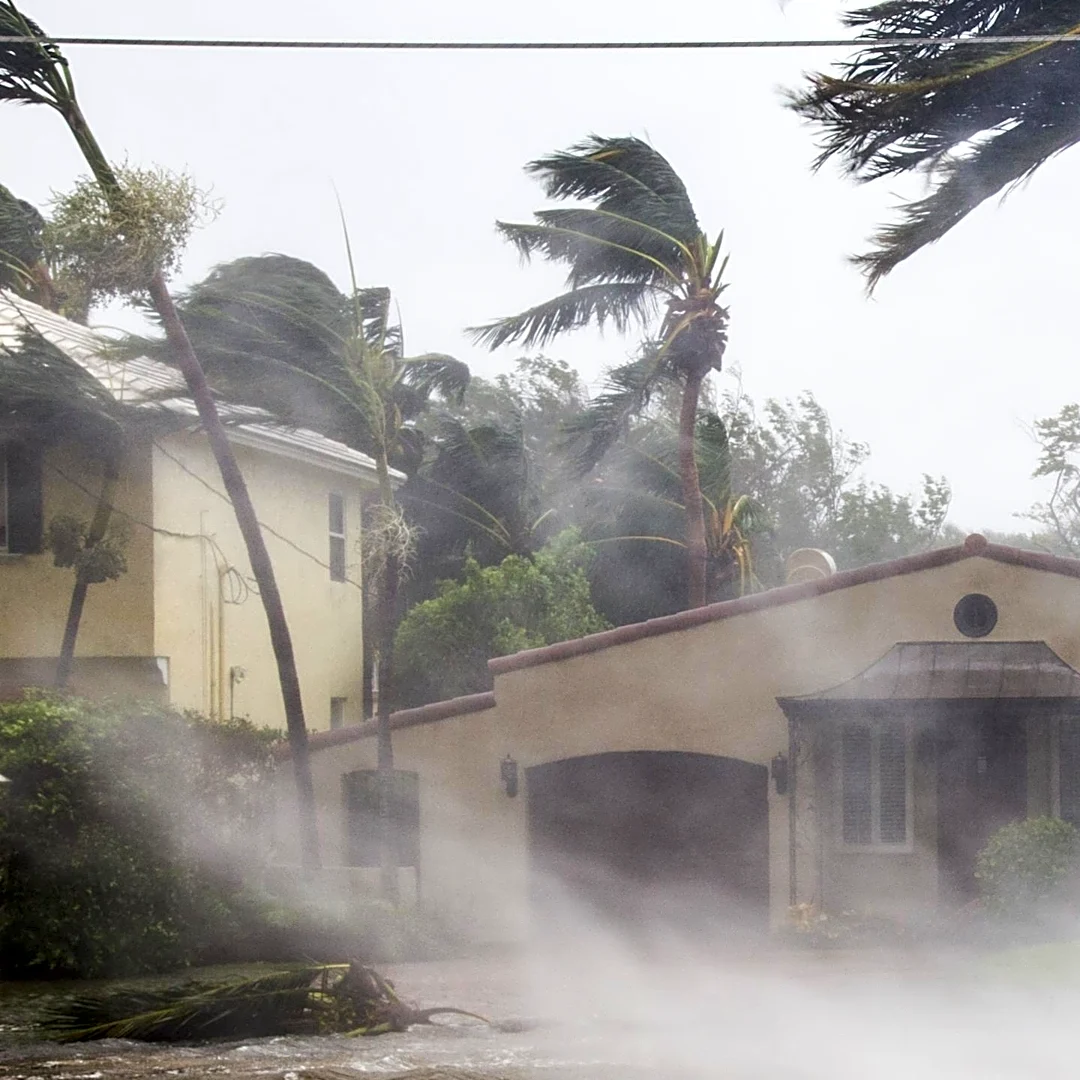







The land threatened by Hurricane Helene two years ago came under threat again last weekend as Hurricane Isaias brought strong rains and winds to the region.
In addition to causing power outages for nearly 27,000 people, the storm brought 6 inches of rain
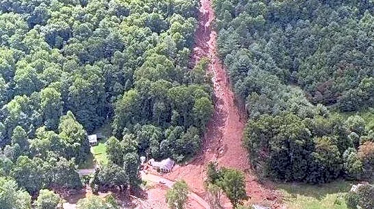
to parts of Western North Carolina, causing at least five landslides along the N.C. Highway 226 corridor, according to McDowell County Emergency Management.One of the major slides caused by Hurricane Helene was also in McDowell County in the same area Isaias hit.
The 2024 Buck Creek slide happened, in part, because of a road embankment, Appalachian Landslide Consultants geologist Philip Prince explained. Even without road issues, the Appalachian Mountains are prone to landslides because of ancient
soil deposits, he said.
“It’s all about that stored soil. If our mountains were just slabs of rock – bare rock faces all the way up. We would have a different suite of landslide type dangers,” Prince said.
Prince has mapped landslides across the region for about seven years. The danger is not just to homeowners who build on the side of a mountain, he said. A landslide can start a debris flow that brings soil, rocks and trees down into a valley.
“It can also be difficult to make people that are down the mountain aware that even though you’re not on the mountain you’re probably in more danger than someone that is from debris flows,” Prince said. This unfortunately is what happened during Helene at Craigtown in Buncombe County, where 11 members of a family were killed.
Haywood County saw more than 100 landslides during Helene. Haywood County Emergency Services Public Information Officer Allison Richmond has been working to share more public education about landslides following Tropical Storm Fred and Helene.
“It’s a known risk in Haywood County anytime there’s enough rain, especially when you get those kinds of rain systems where there’s one period of rain followed by another, sometimes followed by another,” Richmond said. “We’re trying to help prepare people and share that information just [in] general before, during and after so that you can assess your property.”
The county’s emergency management team runs the Ready Haywood website, which shares information about how to build your own emergency kit and advice about landslides that is applicable to residents beyond county lines.
There is a high chance for more landslides in Western North Carolina this year, as the region is expected to see higher-than-normal amounts of rainfall brought on by El Niño, according to assistant state climatologist Corey Davis at the North Carolina State Climate Office. Rain doesn’t always mean flooding, he told NC Local in September.
“I think for folks in Western North Carolina, Helene is really the last big point of reference for what a lot of rain looks like,” Davis said. “The difference is that Helene dropped 15 to 30 inches of rain over the course of three or four days. We don’t expect anything close to that with an El Niño, but we could see totals like that over the course of three or four months.”
Do you know the warning signs for a landslide?
Conditions: If more than 5 inches of rain falls in 24 hours, this can lead to scattered landslides on forested and modified slopes, according to Ready Haywood.
If more than 10 inches of rain falls in 24 hours, this will cause widespread landslides (similar to what happened during Hurricane Helene in 2024) on all types of slopes.
Listen: Landslides are noisy and can cause the ground to shake and feel like a freight train is passing. You may also hear trees cracking and knocking rocks.
Know your landscape: The biggest risk for a landslide is a prior landslide, so it is important to know your landscape. Prior wildfires also increase the risk of a landslide.
Some counties in Western North Carolina have geologic surveys of property that show where historic landslides happened. Your local county planning department may be able to direct you to professionals that are familiar with the local geology and landslide hazards.
If you want to find out more about the landslide risk at your home, check out the state’s landslides maps. The entire state is not fully mapped, but you can see historical instances on the North Carolina Geological Survey.
You can also check out maps produced by Appalachian Landslide Consultants. Their map also includes a user guide.
Prepare your home: Keep native vegetation on slopes to help stabilize an incline. Know where your gutter, driveway and other stormwater is flowing, the U.S. Geological Survey advises.
If your gutters or driveway concentrates water into undesirable places like a slope, it can saturate the soil and increase the chance of a slide. Consider directing your stormwater to a storm sewer, road ditch or using a French drain to move the water away from your home.
What if there is a landslide warning?
The American Red Cross cautions that if the risk of a landslide is high, family members should take turns sleeping and listening for signs to evacuate.
If there is a landslide warning, evacuate. If you hear a landslide happening, there are few options. If you are outdoors, run away from the sound to the right or left of the slide rather than downhill — the slide can move faster than you can run, according to Ready Haywood.
If you are inside in a single-story home, climb onto a sturdy piece of furniture like a table or kitchen counter and hold on.
If you are in a multiple-story home, go to the top floor and stand on the downhill side of the house. The landslide can push through the windows on the uphill side of the home.
Lilly Knoepp is NC Local’s regional reporter for Western NC, where she helps residents understand how they are affected by statewide issues.
This article originally appeared on Asheville Citizen Times: Do you know what to do during a landslide?