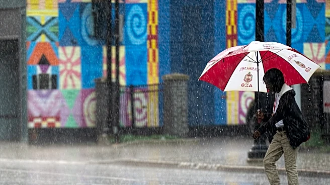

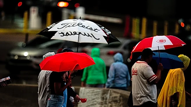
Showers and possible thunderstorms are expected to continue in Western North Carolinaas rain lingers in the area through the weekend of Aug. 7.
Predictions from the National Weather Service on Thursday, Aug. 6, show continuing storms hitting the Asheville area through Sunday, Aug. 9, with chances of thunderstorms bringing higher amounts of rain that could cause some flash flooding in the area. Temperatures are predicted to stay in the mid to high 80s through that stretch of time, but while cooler than other communities in the coverage area, it will be humid.
"A persistent forecast continues today with another day of warm temperatures and afternoon/evening showers and thunderstorms. Isolated flash flooding along with locally gusty winds cannot
be ruled out with any storms," read a Facebook post from the National Weather Service.
Asheville, Western North Carolina storms could bring flash-flooding
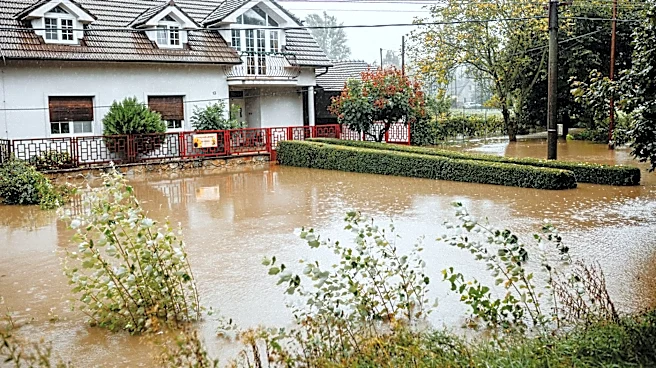
Rain chances remain high through Saturday, Aug. 8, for much of Western North Carolina, and the weather service is warning of possible isolated flash flooding for the area, especially if thunderstorms hit.
"Above-average rain chances and at or below-normal temperatures continue the rest of the week and into the weekend. Isolated flash flooding and a strong storm or two will be possible across the area each day through Saturday," read the forecast discussion.
Western North Carolina sees much-needed rain
It may seem that it has been raining forever, but it is much needed in communities in the North Carolina mountains that have been suffering through drought conditions since late spring.
More than 81% of North Carolina remains in drought conditions, but the rainfall in the western part of the state has helped to ease drought conditions, according to data from the National Oceanic and Atmospheric Administration's drought monitoring center.
As of Aug. 5, some areas of Buncombe County have seen upwards, or more than, four inches of rain in the last seven days, according to the drought monitoring center. The area is still needs a little more than six inches of rain to make up for the 2026 deficit.
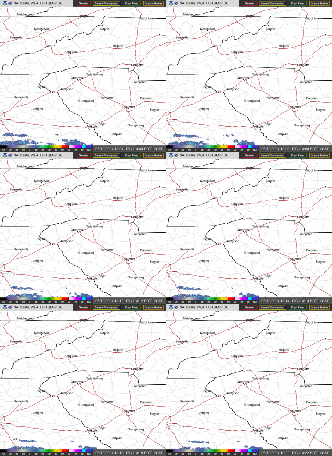
Asheville, Western NC live weather radar
Weather alerts for Asheville, Western NC
Asheville, Western NC area weather forecast
Take a look at the National Weather Service's latest outlook as of 9:30 a.m. on Thursday, Aug. 6.
Today, Aug. 6: Showers and thunderstorms likely, mainly between 2 and 5 p.m.. Patchy fog before 10 a.m. Otherwise, partly sunny, with a high near 84. Calm wind becoming south around 5 mph in the afternoon. Chance of precipitation is 70%. New rainfall amounts of less than a tenth of an inch, except higher amounts possible in thunderstorms. Overnight: Showers and thunderstorms likely, mainly before 9 p.m. Patchy fog after 1 a.m. Otherwise, mostly cloudy, with a low around 65. Light and variable wind. Chance of precipitation is 60%. New precipitation amounts of less than a tenth of an inch, except higher amounts possible in thunderstorms.
Friday, Aug. 7: A chance of showers and thunderstorms, then showers likely and possibly a thunderstorm after 5 p.m. Areas of fog before 10 a.m. Otherwise, partly sunny, with a high near 84. Light south wind. Chance of precipitation is 60%. New rainfall amounts between a tenth and quarter of an inch, except higher amounts possible in thunderstorms.
Friday night, Aug. 7: Showers and thunderstorms before 11 p.m., then a slight chance of showers between 11 p.m. and midnight. Low around 65. Calm wind. Chance of precipitation is 80%. New precipitation amounts of less than a tenth of an inch, except higher amounts possible in thunderstorms.
Saturday, Aug. 8: Showers and thunderstorms likely, then showers and possibly a thunderstorm after 4 p.m. High near 86. Calm wind. Chance of precipitation is 80%.
Saturday night, Aug. 8: Showers and possibly a thunderstorm before 7 p.m., then showers and thunderstorms likely between 7 and 8 p.m. Low around 65. Chance of precipitation is 80%.
Sunday, Aug. 9: A 40% chance of showers and thunderstorms after 2 p.m. Mostly sunny, with a high near 87.
Sunday night, Aug. 9: A 30% chance of showers and thunderstorms before 8 p.m. Partly cloudy, with a low around 65.
This article originally appeared on Asheville Citizen Times: Rain, storms in Western NC could bring isolated flash flooding