




Strong winds have been blowing into Arizona since Thursday night, Oct. 15, and they’ll become more powerful by midday Friday, Oct. 16, likely leading to blowing dust and difficult driving conditions, and anything not tied down possibly going airborne.
Most of the state will be under some form of wind alert on Friday, Oct. 16. Metro Phoenix is the latest addition, with a wind advisory in effect from 8 a.m. to 3 p.m. Other wind advisories in southern and western Arizona include:
- Western Maricopa and Yuma counties: 5 a.m. to 3 p.m.
- Central La Paz, northwestern Maricopa counties: 5 a.m. to 3 p.m.
- Yavapai and western Coconino counties: through 6 p.m.
- Mojave County: through 11 a.m.
- Far southern Gila and northwestern Pinal counties: 5 a.m. Friday to 11 a.m. Saturday
- Central Pima County: 2 a.m. Friday to 2 p.m. Saturday
Winds in metro Phoenix could gust up to 45 mph while the rest of south-central and southwestern Arizona could feel gusts blowing up to 50 mph. In northern Arizona, gusts could reach 55 mph.
Blowing dust is a concern
The real wind risk is in southeastern Arizona, where wind gusts could blow as strong as 55 to 75 mph. A high wind warning is in effect for eastern Pima, southeastern Pinal, Greenlee and Cochise counties through 5 a.m. Saturday, Oct. 17.
The atmospheric setup involves high pressure that’s building in the western United States. As it strengthens and centers over Colorado, it creates a strong pressure gradient and winds from the east that’ll blow into Arizona’s high terrain.
This leads to a mountain wave wind event. Mountain waves occur when strong winds encounter high terrain, get forced and compressed over that mountain and accelerate downward as they get beyond the peak. In this case, the winds are coming from the east or southeast.
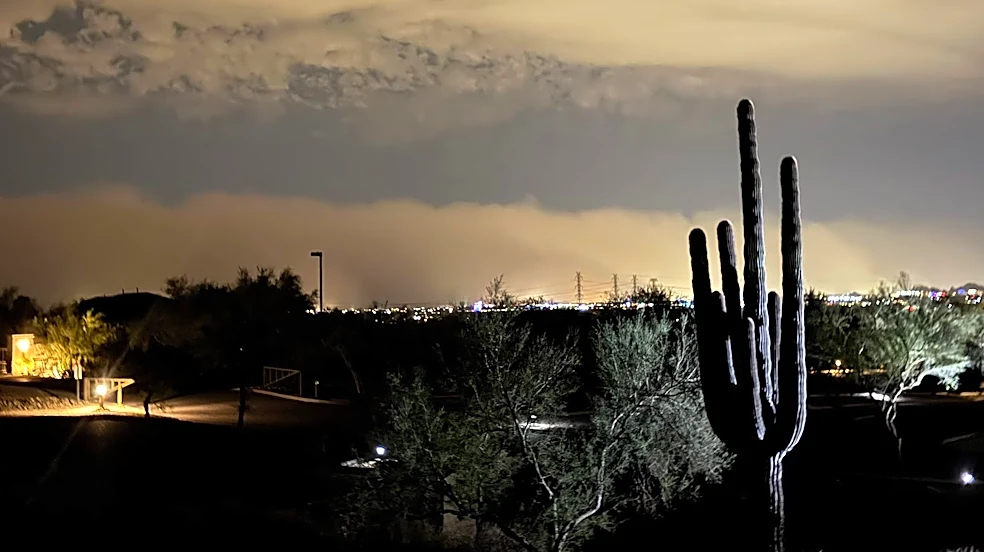
Blowing dust is a primary concern. Metro Phoenix should expect dust from east of the Valley and Pinal County. In Cochise County, an air quality alert has already been issued by the Arizona Department of Environmental Quality.
Low pressure system will bring clouds
Winds will begin to calm later on Saturday, while cloud cover will begin to enter the state. A cutoff low pressure system will form to the southwest of Arizona, and that low will begin to pull in moisture from a decaying Tropical Cyclone Simon.
For the south-central Valley, the odds of rainfall are not nearly as good as the last two tropical systems — moisture is expected to stay in mid-levels of the atmosphere and possibly bring light showers, if not just virga. Even in southeastern Arizona and the northern high terrain, odds of rainfall are relatively low, 40% or less.
A much better shot at moisture will come by the middle of next week, as a large low pressure will slide into the West Coast.
While temperatures over the weekend will remain near average, that low pressure trough will bring another cold front that could soon send southern Arizona back down to the upper 70s to mid 80s.
Meteorologist Tevian Whitehurst covers extreme weather and climate for The Arizona Republic and azcentral.com. Follow him at @TevianWX on Instagram and Facebook (Meteorologist Tevian Whitehurst).
We want to see your weather photos: Send to weatherpix@arizonarepublic.com, or on Instagram @azcentral or TikTok @azcentral. Attach your photos and tell us all about what's pictured. They may appear in an online story or in the newspaper.
This article originally appeared on Arizona Republic: Wind gusts overtake Arizona, ending the week with alerts on Friday