



Hours before the flash floods that killed two people at the Grand Canyon, a map published by federal authorities gave hikers little indication their lives would be at risk.
The National Weather Service's Flagstaff office did not include the park in a regional "Flash Flood Watch" alert posted online at 6:17 a.m., a time when many hikers begin their descent into the canyon and lose cell service.
The map showed the Grand Canyon area in a neutral tan color: Normal conditions.
Like the storms that prompted them, federal warnings about the Aug. 29 hazards escalated quickly, according to a review by The Arizona Republic.
Authorities informed the public rain was in the forecast, predicting scattered thunderstorms and issuing a "severe weather" alert about
8:30 a.m. the day of the floods.
A weather service bulletin at noon warned that life-threatening floods were already "imminent or occurring" on certain Grand Canyon-area trails. Authorities widened the warning to include other trails at the national park over the course of the afternoon.
About 7 p.m., authorities announced they had performed evacuations and advised that some of the park's most popular trails were closed until further notice.
The park service alerted the public that more than 20 hikers were still missing on Aug. 30, the day after the initial downpour.
Darren McCollum, a meteorologist with the weather service's Flagstaff office, said in an interview that the sudden announcements reflected the volatile reality of Arizona's monsoon season. The early-morning map showing low flood risk was based on a judgment call from meteorologists on staff, he said: The analysts routinely watch storms build and dissipate in a matter of minutes and try not to overwhelm the public with warnings when they aren't needed, he said.
The storm itself was not unusual for Arizona's monsoon season, but several factors turned the rain into a deadly hazard, McCollum said. The ground at the Grand Canyon was already saturated from days of rainfall. The flooding came to a head just downhill of national parkland that was left frail by the Dragon Bravo wildfire, and water flowed over some of the park's steepest trails.
"When it builds so quickly, and then moves so quickly," he told The Republic, "you worry about how much people really had a chance to get a heads up."
Here is a timeline of the postings for the National Weather Service and the National Park Service.
6:17 a.m. Aug. 29: Grand Canyon not flagged for danger
The Grand Canyon was not flagged for dangerous conditions on a flash flood risk map published on social media at 6:17 a.m. the day of the floods.
"Showers and thunderstorms will be the main story for the weekend. Storms will start firing up this afternoon, but we'll see activity persist overnight as well," National Weather Service Flagstaff posted on X.
8:33 a.m. Aug. 29: Grand Canyon added to severe weather outlook
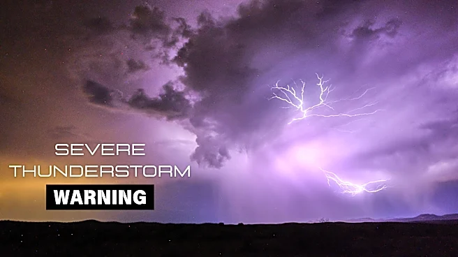
The weather service in Flagstaff added the Grand Canyon to a severe weather warning.
"Increasing instability and wind shear will lead to some strong to severe thunderstorms across much of central and northern Arizona, mainly this afternoon and evening. Wind gusts to 60 mph and hail to 1 inch diameter will be the main threats," the agency wrote on social media.
12:02 p.m. Aug. 29: Flash floods 'imminent or occurring' along Havasu Creek
The weather service issued flash flood warnings for portions of Coconino County just after noon on Aug. 29. The warning mentioned flooding along certain Grand Canyon-area trails, like Havasu Creek and Beaver Falls.
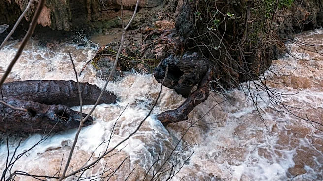
"Flash flooding is imminent or occurring along Havasu Creek," the agency wrote on social media. "Campers and hikers should hustle to higher ground immediately! Stay away from creeks or washes!"
2:28 p.m. Aug. 29: Weather service issues severe thunderstorm warning for Grand Canyon trails
The weather service issued a severe thunderstorm warning for several trails in the Grand Canyon, warning the public of "half dollar size hail."
"This includes North Rim, Cottonwood CG, Point Imperial Picnic Area, Roosevelt Point Overlook, and Saddle Mountain Overlook," the agency wrote on social media.
The weather service soon widened the flash flood warning to include other Grand Canyon trails, describing the conditions as "life-threatening" in an alert released at 2:42 p.m.
5:41 p.m. Aug. 29: Weather service extends Grand Canyon flash flood warning
The weather service extended a flash flood warning by several hours, until 7:45 p.m.
"This includes Grand Canyon - North Rim, Phantom Ranch, Cottonwood CG, Point Sublime, and Bright Angel CG," the agency wrote on social media.
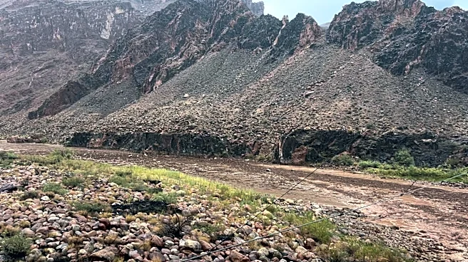
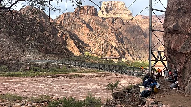
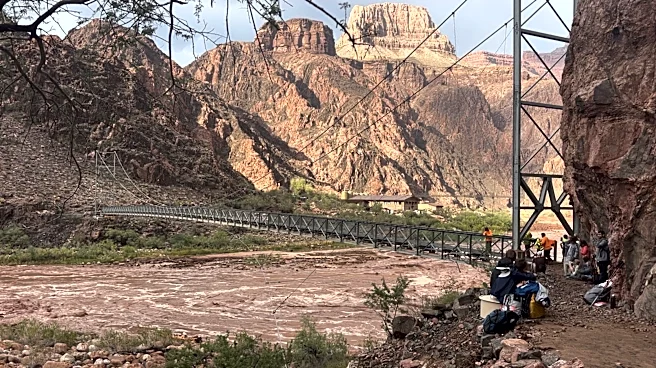
"Heavy rain from earlier has produced flash flooding along Bright Angel Creek in the area of Phantom Ranch and the Transept. Heavy creek flow is ongoing," the agency wrote in a news release.
6:55 p.m. Aug. 29: Weather service announces evacuations
At 6:55 p.m., the weather service issued a statement announcing dozens of people had been evacuated by air near Phantom Ranch, the lodge at the bottom of the Grand Canyon.
"At 6:45 p.m. MST, Heavy rain has ended. Earlier in the afternoon radar estimated that from 0.25 to 0.75 inches fell over the area in less than 30 minutes. As a result, flash flooding along Bright Angel Creek in the area of Phantom Ranch and the Transept was observed. Heavy creek flow is ongoing. An air evacuation was conducted of approximately 50 individuals from the Phantom Ranch area. Kaibab Trail and Phantom Ranch are closed until further notice," the agency wrote.
12:15 p.m. Aug. 30: 'More than 20' people unaccounted for, National Park Service warns
The National Park Service asked for the public's help in locating more than 20 people who were still unaccounted for the day after the floods.
"The National Park Service is asking the public to provide information for more than 20 individuals who may be missing or unaccounted for following a significant flash flood in Bright Angel Canyon and the Phantom Ranch area on August 29," the park service wrote on social media.
"If you know of hikers or backpackers who were in the Bright Angel Creek corridor on August 29, or if you had a campground reservation in the affected area, please contact the NPS Investigative Services Branch (ISB)."
The park service has since revised their estimate of missing people down to "approximately 15."
6:30 p.m. Aug. 30: Body of a 46-year-old man recovered
The park service announced Aug. 30 that a search crew recovered the body of a 46-year-old man.
The man was found near Crystal Rapids along the Colorado River, authorities said.
8:25 a.m. Aug. 31: Officials recover second body
The park service announced that recovery operations for a second body were underway. Officials did not immediately announce the gender and age of the second person.
6:30 p.m. Aug. 31: Only one permitted visitor unaccounted for, authorities say
Two days after the floods, only one permitted park visitor remained unaccounted for, authorities said in an Aug. 31 news conference at the Grand Canyon National Park headquarters.
“We are absolutely holding out hope that that person is still alive," said incident commander Dave Black said.
Park officials also asked people to report whether they knew of any day hikers who had not checked in. Day hikers do not need permits.
This article originally appeared on Arizona Republic: Weather service's early-morning flood risk alert didn't highlight Grand Canyon