





A full week of heat is underway as metro Phoenix faces temperatures as hot as 116 degrees through Saturday, Aug. 29. The addition of Saturday to the toasty lineup is an update from the previous weekend. In total, it’ll make for 13 days straight of extreme heat warnings since Aug. 17.
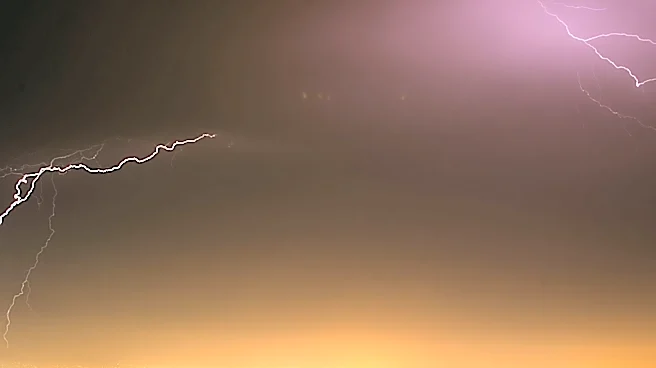
Monday, Aug. 24 proved to be a slight break with temperatures below 110 thanks to the dust, showers and thunderstorms that rolled through the previous night, leaving behind some morning cloud cover and a few leftover showers.
The haboob that arrived between 8 p.m. to 11 p.m. was rated a category 4 by ASU’s PHX-DUST scale. Decent rainfall was sparse, with most barely seeing a few hundredths of of an inch while some isolated areas south of metro Phoenix show varied
readings of 0.25 of an inch to nearly one full inch.
Looking forward, rain chances decline across the state as high pressure moves directly overhead by Tuesday, Aug. 25 and parks there until the weekend.
Monday in the Valley holds some isolated chances, but is generally on the decline to near-zero regarding storm activity. Any storms will be isolated to the high country.
The only thing to look forward to is extreme, possibly daily record-breaking heat.
Saturday, Aug. 22 is an example of what may come. The day broke both the daily warm low and high for the day, only falling to 90 degrees in the morning and reaching 115 during the afternoon.
Daily heat records for Aug. 24 through Aug. 29 range between 91 to 93 degrees for morning lows and 114 to 117 degrees for highs. Temperatures this week sit in that very range, with Wednesday, Aug. 26 expected to be the hottest day at 116 degrees.
The extreme heat warnings are in effect for most of central, southern and western Arizona that already had the alerts in effect, but some new additions will come into play midweek.
Parts of Yavapai County and the Grand Canyon below 4,000 feet will also go under extreme heat warnings on Wednesday, Aug. 26 through Friday, Aug. 28.
Also look out for the lowered air quality in the county. The subsiding air is also aggravating ozone pollution in the area. An ozone high pollution alert is in effect for Monday, Aug. 24 and a watch is in effect through Friday, Aug. 28.
Relief from the 110+ degree days will come with returning rain chances as soon as Friday evening, as high pressure is expected to weaken and regress back east and reopen the window for moisture in Arizona.
Adding some more last-minute rainfall to the counts is a nice way to make up for a month that’s only had seven days without an extreme heat warning in place.
As always in the heat, stay hydrated, limit your time outside and get in the AC whenever you can.
If you struggle to find ways to stay cool, use theHeat Preparedness Network for resources across the state, or the Maricopa County heat page for more local information.
Meteorologist Tevian Whitehurst covers extreme weather and climate for The Arizona Republic and azcentral.com. Follow him at @TevianWX on Instagram and Facebook (Meteorologist Tevian Whitehurst).
We want to see your weather photos: Send to weatherpix@arizonarepublic.com, or on Instagram @azcentral or TikTok @azcentral. Attach your photos and tell us all about what's pictured. They may appear in an online story or in the newspaper.
This article originally appeared on Arizona Republic: Phoenix heads into a week of extreme heat as storms take a break