


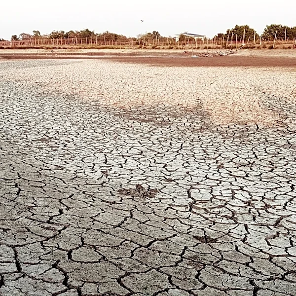
Phoenix is nearing the end of a 13-day streak of extreme heat warnings where temperatures on most days have been over 110 degrees. The high-pressure oppression will temporarily come to an end thanks to an influx of moisture that will help temperatures fall back to average, if not below, for the final days of August and the start of September.
Wrapping up the end of the work week, high pressure, while moving, will still be over the state. With the lack of relief from dangerous temperatures the past week, heat risk is at its most extreme. According to Maricopa County, hospitalizations from heat have been on a slow rise since Aug. 20, following the rise in temperatures.
The extreme heat warning will remain in place until 8 p.m. Saturday, Aug. 29,
as temperatures then and on Friday, Aug. 28 will range between 108 and 112 degrees.
But late Friday, a strong trough will begin to slide into the West Coast, pushing the high pressure out of the way and creating ideal upper-level conditions for thunderstorms that could extend beyond the higher terrain. Chances for storms in the Valley start on the lower end through Friday, at 20-30%, but increase throughout the weekend, as high as 60% on Sunday, Aug. 30.
Sunday and Monday, Aug. 30 and 31, are showing the highest chances for scattered showers and storms as better moisture rolls into place from the south-southwest. Active tropical systems in the Pacific Ocean could be a part of the sourcing for said moisture, improving our opportunity for significant rainfall. More alerts could be issued by weather services as the forecast becomes clearer.
Meanwhile, temperatures will take a significant dip, first to near-average around 105 degrees on Sunday, Aug. 30, then possibly below average in the first few days of next week. If the perfect storm pans out, highs below 100 degrees could even be possible on Monday, Aug. 31. Lows down in the 80s will finally provide some form of overnight relief.
As always in the heat, stay hydrated, limit your time outside and get in the AC whenever you can.
If you struggle to find ways to stay cool, use the Heat Preparedness Network for resources across the state, or the Maricopa County heat page for more local information.
Meteorologist Tevian Whitehurst covers extreme weather and climate for The Arizona Republic and azcentral.com. Follow him at @TevianWX on Instagram and Facebook (Meteorologist Tevian Whitehurst).
We want to see your weather photos: Send to weatherpix@arizonarepublic.com, or on Instagram @azcentral or TikTok @azcentral. Attach your photos and tell us all about what's pictured. They may appear in an online story or in the newspaper.
This article originally appeared on Arizona Republic: Phoenix could see storms, cooler air after string of hot August days