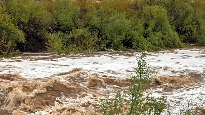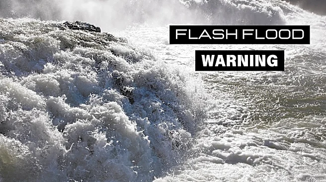


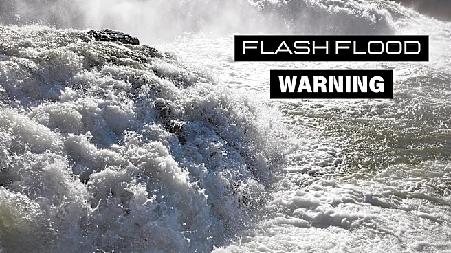
Flash flood warnings were issued by the National Weather Service in Flagstaff on Wednesday, Aug. 12. These warnings apply to Coconino and Yavapai counties.
The National Weather Service warns: "Flash flooding is occurring or imminent ... Campers, hunters, and hikers should move to higher ground immediately! Stay away from creeks and washes!"
See weather radar for northern Arizona
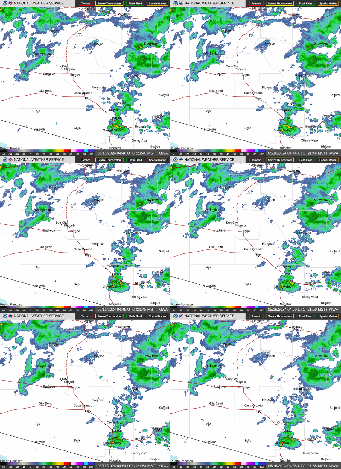
What are weather service meteorologists saying?
The National Weather Service issued this statement for Yavapai County at 2:45 p.m.:The National Weather Service in Flagstaff has issued a Flash Flood Warning for…Yavapai County in west central Arizona…Until 545 PM MST. At 245 PM MST, Doppler radar indicated thunderstorms producing heavy rain across the warned area. Between 0.5 and 2 inches of rain have fallen. Additional rainfall amounts of 0.5 to 2 inches are possible
in the warned area. Flash flooding is ongoing or expected to begin shortly.
HAZARD…Life threatening flash flooding. Thunderstorms producing flash flooding.
SOURCE…Radar indicated.
IMPACT…Life threatening flash flooding of creeks and streams, normally dry washes, urban areas, highways, streets and underpasses. Some locations that will experience flash flooding include… Cordes Lakes, Bagdad, Congress, Spring Valley, Yarnell, Bagdad Airport, Wilhoit, Peeples Valley, Hillside, Mt. Union, Castle Hot Springs, Horse Thief Basin, Sunset Point Rest Area, Hawkins, Palace Station and Weaver Peak. This includes the following highways…State Route 69 between mile markers 263 and 266. Highway 93 between mile markers 149 and 171. Interstate 17 between mile markers 248 and State Route 96 between mile markers 0 and 21. State Route 89 between mile markers 270 and 298. State Route 97 between mile markers 156 and 166.
This includes the following recreation areas and campgrounds…Turney Gulch Group Campground and Hazlett Hollow Campground. This includes the following creeks, washes and rivers…East Fork Castle Creek, North Fork Date Creek, Copper Creek, Iron Spring Wash, Boulder Creek, Rock Creek, Model Creek, Pine Creek, Buzzard Roost Creek, Towers Creek, Banty Creek, Badger Spring Wash, East Antelope Creek, Arrastra Creek, Eastwood Creek, Hamlin Wash, North Fork Rock Creek, Bitter Creek, Board Creek, Slate Creek, Ash Creek, Antelope Creek, Little Sycamore Wash, Waterman Creek, Bland Creek, Mescal Creek, Whipsaw Creek, Wolf Creek, Agua Fria River, Jim Creek, Humbug Creek, Big Bug Creek, Government Spring Wash, Weaver Creek, Cedar Creek, Orofino Wash, Poplar Wash, Dead Mexican Creek, Hassayampa River, Crazy Basin Creek, Tank Wash, Black Canyon Wash, Cherry Creek, Cellar Springs Creek, Minnehaha Creek, Sols Wash, Big Shipp Wash, Willow Creek, Alkali Wash, Oak Creek, Slim Jim Creek, Bear Creek, Date Creek, Tuscumbia Creek, Turkey Creek, Milk Creek, Sand Creek, Tiger Creek, Sycamore Creek, French Creek, Castle Creek, Spring Creek, Kirkland Creek, Hackberry Creek, Black Canyon, Tussock Spring Creek, Little Shipp Wash, North Fork Cellar Springs Creek, Little Wolf Creek, Blind Indian Creek, Martinez Creek, Finch Wash, Miller Creek, Buckhorn Creek, Middlewater Creek, Poland Creek, Peoples Canyon, Amazon Gulch, Black Canyon Creek, Arrastre Creek, Cottonwood Creek, Santa Maria River, Sheppard Wash, Black Butte Wash, Placeritas Creek, Quail Spring Wash, Bridle Creek, Little Buckhorn Creek, Mineral Creek, Yarnell Creek, Copper Basin Wash, Skull Valley Wash and South Fork Santa Maria River.Flooding of washes and creeks will occur, some dirt roads will become muddy and impassable. Paved roads and underpasses could become flooded as well.
This is a dangerous and life-threatening situation. Do not attempt to travel unless you are fleeing an area subject to flooding or under an evacuation order.
At 2:53 p.m., the National Weather Service issued a statement for Coconino County:
The National Weather Service in Flagstaff has issued a Flash Flood Warning for, The Antelope Creek basin in, Coconino County in north central Arizona, Until 5:45 p.m. MST /6:45 p.m. MDT/. At 2:44 p.m. MST /3:44 p.m. MDT/, Doppler radar indicated thunderstorms producing heavy rain over the Antelope Creek basin. Between 0.25 and 0.5 inches of rain have fallen. Flash flooding is ongoing or expected to begin shortly.
HAZARD: Life threatening flash flooding. Thunderstorms producing flash flooding in and around the Antelope Creek basin.
SOURCE: Radar indicated.
IMPACT: Life threatening flash flooding of areas in and around the Antelope Creek basin. Some locations that will experience flash flooding include: LeChee, Trapeze Cove and Antelope Canyon. This includes the following slot canyons, Upper Antelope Canyon, Lower Antelope Canyon, Canyon X, Cardiac Canyon, Owl Canyon, Rattlesnake Canyon, Mountain Sheep Canyon, Wind Pebble Canyon and Porcupine Canyon. This includes the following creeks, washes and rivers, Antelope Creek.
At 12:44 p.m., the National Weather Service also issued a statement:
The National Weather Service in Flagstaff has issued a Flash Flood Warning for, The North Canyon and South Canyon washes downstream of the Dragon Bravo Fire scar in, Coconino County in north central Arizona, this includes the Colorado River between river miles 17 and 21, and near river mile 32, and between river miles 37 and 47. Until 3:30 p.m. MST /4:30 p.m. MDT/. At 12:34 p.m. MST /1:34 p.m. MDT/, Doppler radar indicated thunderstorms producing heavy rain over the North Canyon and South Canyon washes downstream of the Dragon Bravo Fire scar. Between 1 and 2 inches of rain have fallen. Additional rainfall amounts of 1 to 2 inches are possible in the warned area. Flash flooding is ongoing or expected to begin shortly.
HAZARD: Life threatening flash flooding. Thunderstorms producing flash flooding in and around the North Canyon and South Canyon washes downstream of the Dragon Bravo Fire scar.
SOURCE: Radar indicated.
IMPACT: Life threatening flash flooding of areas in and around the North Canyon and South Canyon washes downstream of the Dragon Bravo Fire scar. Some locations that will experience flash flooding include: Saddle Mountain Wilderness, Bert Loper's Boat, Royal Arches, Triple Alcoves, Point Hansbrough, Anasazi Foot Bridge and North Rim Entrance Station. This includes the following highways, State Route 67 between mile markers 609 and 610. the Colorado River between river miles 17 and 21, and near river mile 32, and between river miles 37 and 47. This includes the following recreation areas and campgrounds, House Rock Camp Site, 18 Mile Wash Camp Site, 18 Mile Ledges Camp Site, Upper North Canyon Camp Site, Lower North Canyon Camp Site, South Canyon Camp Site, Tatahatso Wash Camp Site, Tatahatso Camp Site, Above Martha's Camp Site, Martha's Camp Site, Redbud Alcove Camp Site, MCD Site Camp Site, Upper Buck Farm Camp Site, Buck Farm Camp Site, Below Buck Farm Camp Site, Loper's Boat Camp Site, Royal Arches Camp Site, Anasazi Bridge Camp Site, Above Willie Taylor Camp Site, Willie Taylor Camp Site, Triple Alcoves Camp Site, Duck N Quack Camp Site, Upper Saddle Camp Site and Lower Saddle Camp Site. This includes the following creeks, washes and rivers, Saddle Canyon, Buck Farm Canyon, "19- Mile Canyon", Colorado River, House Rock Wash, Bright Angel Creek, "18- Mile Wash", Hanaa Ninadzidzahi, "Redbud Alcove", South Canyon, Tatahatso Wash, "Bert's Canyon", North Canyon and North Canyon Wash.
What is a flash flood?
Arizona's desert landscape is highly prone to flash flooding. A flash flood is a flood caused by heavy or excessive rainfall in a short period of time, generally less than six hours, according to the weather service.
A flash flood can be sudden and violent and take just minutes to develop. Even if skies are clear overhead, rainfall upstream can funnel into dry riverbeds and create dangerous flows miles away.
How much water is needed to cause a flash flood?
It doesn't take much water to trigger a flooding event in the desert: An inch of rain or less in an hour is often enough to cause a flood. How quickly and where rain falls determines flooding more than rain totals.
Desert soils struggle to absorb water, especially after extended dry spells. The surface can become almost waterproof, causing runoff.
Topography also plays a role, as steep canyons, mountains and dry washes are susceptible to floods. Areas impacted by wildfires are more at risk, as the flames can burn the top layer of the soil, preventing absorption and increasing runoff.
What's the difference between a flash flood watch and a flash flood warning?
A flash flood watch means conditions are favorable for flash flooding to develop, but it isn't happening yet. In Arizona, this often happens when monsoon storms or heavy upstream rainfall could send sudden surges of water through washes, canyons or urban areas.
During a flood watch, it's important to monitor local forecasts and alerts, plan evacuation routes in case flooding begins, move vehicles out of low-lying areas and avoid recreation in areas that could fill with water quickly.
A flash flood warning is more urgent, meaning flooding is impending or already occurring. Warnings are typically issued when rainfall is recorded at levels that can suddenly overwhelm desert drainage or when flooding has already been observed.
Tips for staying safe during a flood warning in Arizona
- If advised to evacuate, do so immediately.
- Do not walk through floodwater. Just 6 inches of floodwater can sweep you off your feet if it is moving swiftly.
- Turn around, don't drown: Never attempt to drive through a flooded street; instead, turn around and find an alternative route. Just 12 inches of water can carry away smaller vehicles, and 2 feet can carry away SUVs and trucks. Most flood-related deaths are caused by people driving through water.
- Watch out for fire hazards and move to higher ground.
- Pay attention to weather notifications and road closures.
- Do not allow children to play in flowing water. Waters can hide rocks, trees and debris.
This weather report was generated automatically using information from the National Weather Service and a story written and reviewed by an editor.
See the latest weather alerts and forecasts here
This article originally appeared on Arizona Republic: Flash flood warnings issued for northern Arizona