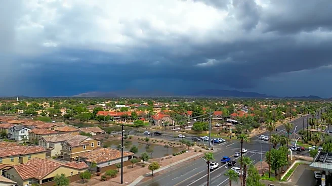




A major storm system moved its way across metro Phoenix on Sept. 16, dousing some areas with multiple inches of rain but leaving other spots almost completely dry.
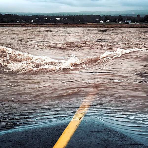
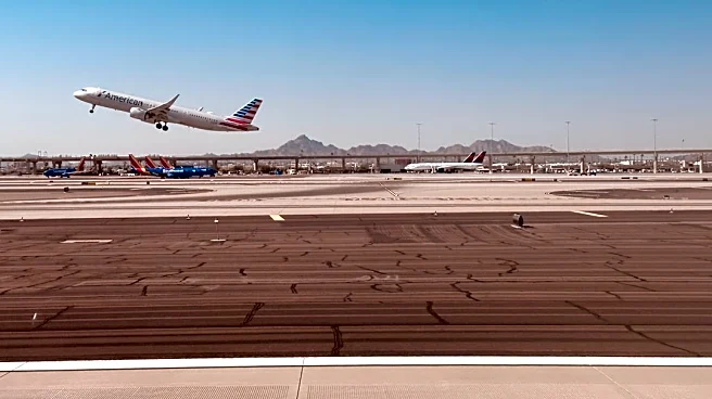
The thunderstorms caused power outages, stranded motorists and prompted a temporary ground stop at Phoenix Sky Harbor International Airport.
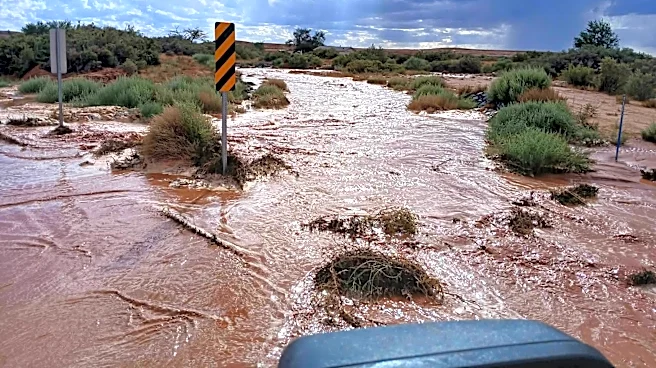
The National Weather Service warned that additional rainfall could worsen flooding on roads, underpasses and low-lying areas across Maricopa County.
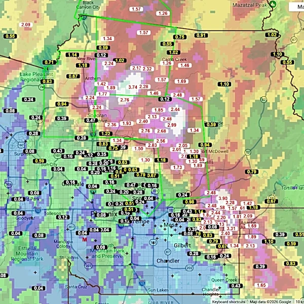
Here are the parts of the Valley that were hit the hardest, according to the Maricopa County Flood Control District.
East Mesa hit hard by storms
Most parts of Mesa east of Higley Road saw more than 2 inches of rain, with some areas like Thunder Mountain receiving as much as 3.9 inches.
Higley Road and Brown Road were closed from
flooding, and Mesa Community College's Red Mountain campus closed for the afternoon.
The high rainfall totals continued east into Apache Junction. It saw slightly more modest totals, ranging from 1.4 inches to a little over 2 inches of rain.
North Scottsdale, Cave Creek got drenched
The impressive rainfall totals continue northwest through north Scottsdale, which saw between 1.5 and 3.5 inches of rain, along with Cave Creek, which saw up to 3.74 inches.
Cooks Mesa Tank, roughly 13.5 miles east of Black Canyon City, saw over 2 inches of rain.
Scattered rain most everywhere else
In the far northwest Valley, Columbia Hill north of Lake Pleasant reported 3.74 inches of rain and Picacho Wash near State Route 74 reported 1.46 inches.
Some areas of north-central Phoenix reported more than a half-inch of rain on Sept. 16. But most of the southeast and southwest Valley stayed relatively dry.
This article originally appeared on Arizona Republic: A major storm rolled through Phoenix area. How much rain did you get?