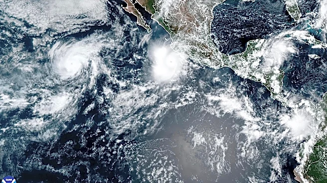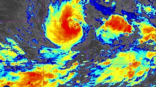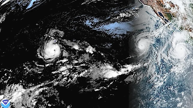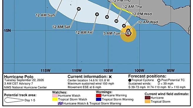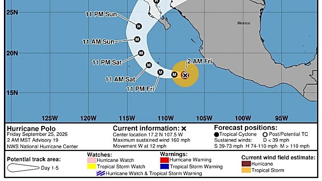



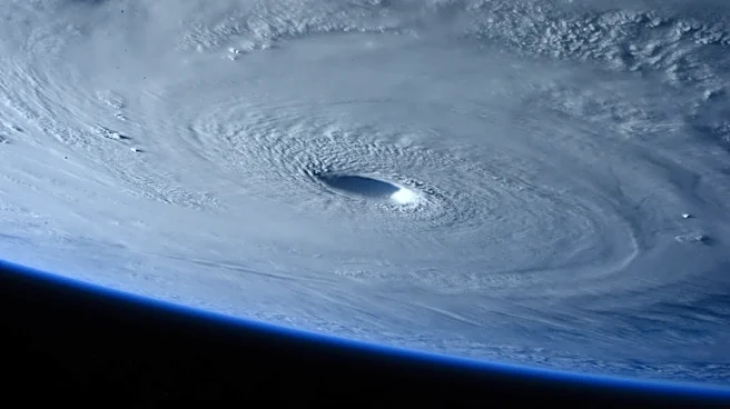
Hurricane Polo, a monstrous Category 5 storm, is moving away from Mexico's western coast but was forecast to make a turn and make landfall in Baja California Sur and then mainland Mexico next week.
What comes after has been a more contested part of the forecast, but it is becoming clearer: Polo may curve further northeastward into Baja California, creating bigger implications for Arizona and the whole Southwest.
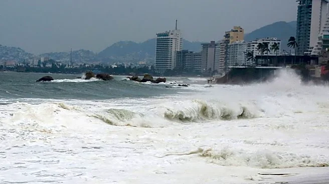
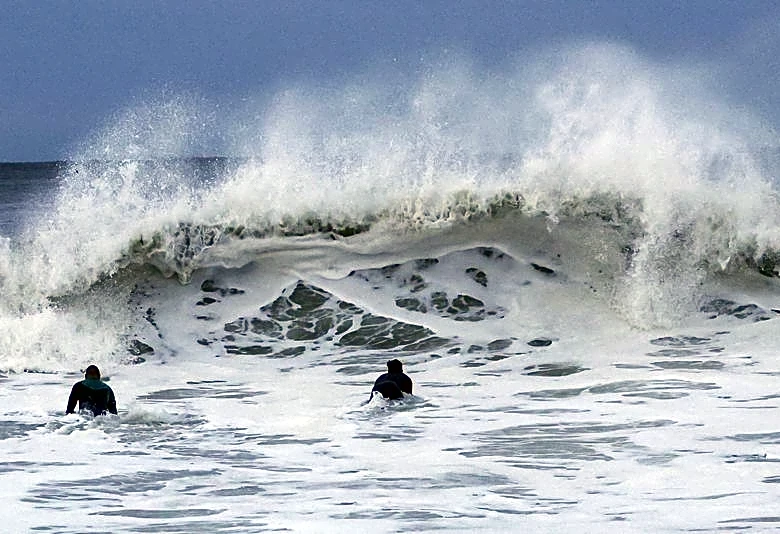
Swells generated by Polo will affect portions of the coast of southwestern Mexico during the next couple of days, forecasters said, and will then spread northward along the coast of west-central Mexico and toward Baja California Sur on Friday and into the weekend. The swells will likely cause life-threatening surf, rip currents and coastal
flooding.
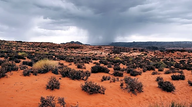
A few inches of heavy rainfall and some severe activity could be possible for the Southwest.
Once tropical systems hit land, they lose steam quickly because their source of strength is warm ocean water. If the original body of the system moves to the Southwest, it likely will be as a remnant low.
Hurricane Polo path tracker
This forecast track shows the most likely path of the center of the storm. It does not illustrate the full width of the storm or its impacts, and the center of the storm is likely to travel outside the cone up to 33% of the time.
Hurricane Polo spaghetti models
Illustrations include an array of forecast tools and models, and not all are created equal. The hurricane center uses only the top four or five highest-performing models to help make its forecasts.
USA TODAY contributed to this report.
This article originally appeared on Arizona Republic: Track Hurricane Polo and its potential impact on Arizona