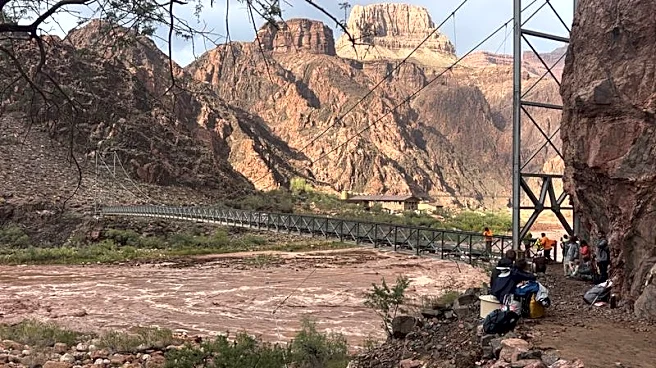


Flash floods like the one that barreled down a disastrous course through Grand Canyon’s Bright Angel Creek over the weekend are an ever-present risk when monsoon storm clouds unload on a watershed, experts say.
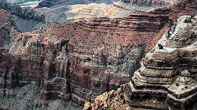
They are among the forces that have shaped the canyon and its Colorado River rapids.
A fire scar above Bright Angel Creek on Grand Canyon’s North Rim may have contributed to the flood's severity but likely was not a major influence, according to a preliminary assessment by the National Weather Service.
An intense flood like the one that turned deadly and destructive on the afternoon of Aug. 29 typically happens along one or more of the rock-wall tributaries that drain toward the Colorado River in Grand Canyon in a given year, said Justin
Johndrow, a National Weather Service meteorologist in Flagstaff.
“Something like that will happen somewhere in the Grand Canyon every year, maybe multiple days,” Johndrow said. “To have it happen there, it’s just chance.”
This storm just happened to lash out in the inner canyon’s most traveled side canyon, and the one with the most park infrastructure.
Was Dragon Bravo Fire scar a major factor in the flood?
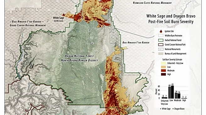
It also fell partly on the scar of the 2025 Dragon Bravo Fire, the fire that burned Grand Canyon Lodge last year. A federal Burned Area Emergency Response report found that most of the soils affected by that fire suffered onlylow- to moderate-severity burns, and that is the case for the part of the fire perched above Bright Angel. So while the loss of vegetation likely contributed to flows, Johndrow said, the soils generally would not have repelled water to greatly worsen the flood.
“It contributed maybe a little bit,” Johndrow said, “but the majority of it was not something that was caused by the fire scar. It was the intensity of the rain that moved in right at 2:30 on Saturday.”
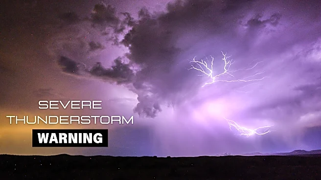
That wave of rainfall produced between a half-inch and an inch of rain over parts of the Bright Angel Creek-Phantom Creek drainage, according to National Weather Service data. That followed three smaller waves earlier in the day, the heaviest of which had dropped about a half-inch in the upper parts of the drainage.
The deluge forced evacuations of dozens, and killed at least two while others remained unaccounted for on Aug. 31. The flood also ripped out foot bridges and damaged other park infrastructure, including the pipeline that delivers water to the South Rim where most tourists visit the park.
Other watersheds suffered higher-severity burns from Dragon Bravo, prompting the U.S. Forest Service to mobilize restoration crews to counter erosion above a perennial stream in North Creek Canyon, on the fire’s east flank. But North Canyon and other drainages that burned at higher severity do not flow toward Bright Angel Creek. The National Weather Service listed North Creek along with Bright Angel Creek, South Creek, Kwagunt Creek and Crystal Creek among the Grand Canyon tributaries that may be susceptible to heightened flash floods due to vegetation loss or changes in soil composition.

'There's still a lot of analysis to do'
A Northern Arizona University scientist who studies water movements in and around Grand Canyon agreed that the flood seemed mostly a stroke of bad luck.
“It appears this was a rainfall event pretty concentrated just over Bright Angel Creek,” said Abe Springer, a professor of hydrogeology. “It doesn’t look so far like there were a lot of contributing areas from the burn scar.”
That assessment could change when he and others can get into the canyon to collect data, he said. For now there remains a flood risk, and some of the devices that collect data in the watershed are not connected remotely, while others may have been damaged or dislodged in the flood.
“There’s still a lot of analysis to do,” he said.
Springer has documented the force of such events in Grand Canyon during previous monsoon seasons. One that stood out was a 2021 flood in Cottonwood Creek below Grandview Point, he said. More than 3 inches fell there in a short period, and later measurements of the high-water marked indicated that the creek had rapidly gone from a spring-fed trickly to a torrent pumping 1,500 cubic feet per second, he said.
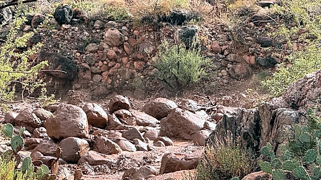
“It mobilized car- and truck-sized boulders in that little tributary channel,” Springer said. “These storms, if they’re intense in a localized area, that’s why you see a lot of boulder piles” throughout Grand Canyon.
They’re also what forms and alters rapids where the creeks empty into the Colorado. For instance, he said, river runners had encountered no significant rapid at River Mile 98 until a major flood swept rocks down Crystal Creek in 1966 and created Crystal Rapid.
Brandon Loomis covers environmental and climate issues for The Arizona Republic and azcentral.com. Reach him at brandon.loomis@arizonarepublic.com.
Environmental coverage on azcentral.com and in The Arizona Republic is supported by a grant from the Nina Mason Pulliam Charitable Trust.
Follow The Republic environmental reporting team at environment.azcentral.com and @azcenvironment on Facebook and Instagram.
This article originally appeared on Arizona Republic: Burned area at Grand Canyon wasn't a major cause of flood, experts say