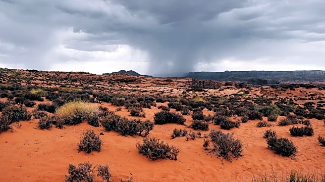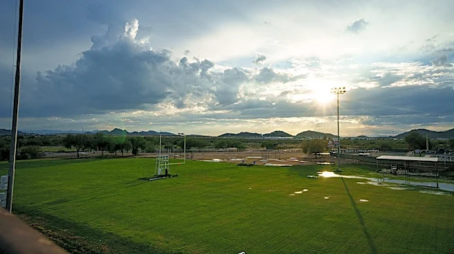




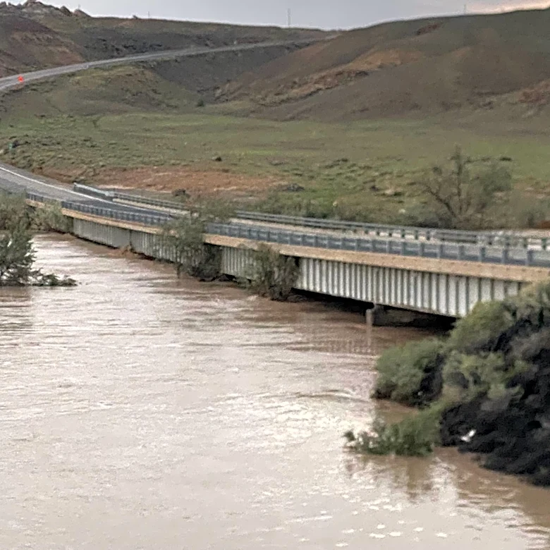




Arizona was placed under its first tornado watch in 16 years as a powerful storm system brought severe thunderstorms, large hail, damaging winds and flash flooding to parts of the state.
The watch comes as a strong El Niño
develops in the Pacific, a climate pattern that can influence winter weather across the Southwest. Whether it played any role in Arizona's unusual severe weather setup is less clear.The storms developed as an unusually deep low-pressure system off the Southern California coast interacted with a surge of moisture, atmospheric instability and strong winds aloft. The combination created conditions favorable for thunderstorms to intensify and potentially develop rotating updrafts.
The National Weather Service's Phoenix office described
the setup as a high-impact weather event unfolding across central and eastern Arizona on Wednesday, Oct. 21, with multiple rounds of showers and thunderstorms that continues through Thursday afternoon.
But what made this storm system so potent, and could a tropical system or the developing El Niño have played a role?
Here's what we know.
Why did storms turn severe in Arizona?
The storm system developed as a deep area of low pressure moved toward the Southwest from the Pacific. That system sent smaller disturbances, known as shortwaves, through the region, helping lift air and encourage thunderstorms to develop.
A shortwave is a smaller-scale disturbance embedded in the larger atmospheric flow. When one moves through a region with sufficient moisture and instability, it can help trigger thunderstorms or cause existing storms to strengthen.
In Arizona, the disturbances encountered an unusually moist air mass, providing fuel for the developing storms.
The National Weather Service's Phoenix office reported precipitable water levels exceeding 1.25 inches over central Arizona on Wednesday, with levels that reached 1.5 inches overnight.
Precipitable water measures how much water vapor is contained in a column of the atmosphere. Higher values can support heavier rainfall when storms develop, increasing the potential for flash flooding.
Forecasters also expected atmospheric instability to increase, with mixed-layer convective available potential energy, or MLCAPE, approaching or exceeding 1,000 joules per kilogram.
CAPE measures the energy available to rising air. When that energy combines with a mechanism that lifts air upward, thunderstorms can grow stronger.
How did the atmosphere support rotating storms?
Moisture and instability helped fuel the thunderstorms, but another ingredient increased the potential for severe weather: wind shear.
Wind shear occurs when wind speed or direction changes with altitude. Strong wind shear can help thunderstorms become organized and sustain powerful updrafts. Under the right conditions, those updrafts can rotate, creating an environment favorable for tornado development.
The Phoenix forecast discussion called for deep-layer wind shear exceeding 50 knots, or about 58 mph, across the region. Forecasters also identified strong low-level wind shear and model signals associated with rotating updrafts in stronger storms that were expected to develop across eastern Arizona on Thursday, Oct. 22.
The combination of instability and wind shear supported concerns about large hail and damaging winds, while the potential for rotating storms raised the risk of tornadoes.
That does not mean every storm would produce a tornado. A tornado watch indicates that atmospheric conditions are favorable for tornadoes to develop, not that one is certain to occur.
Was a tropical system involved?
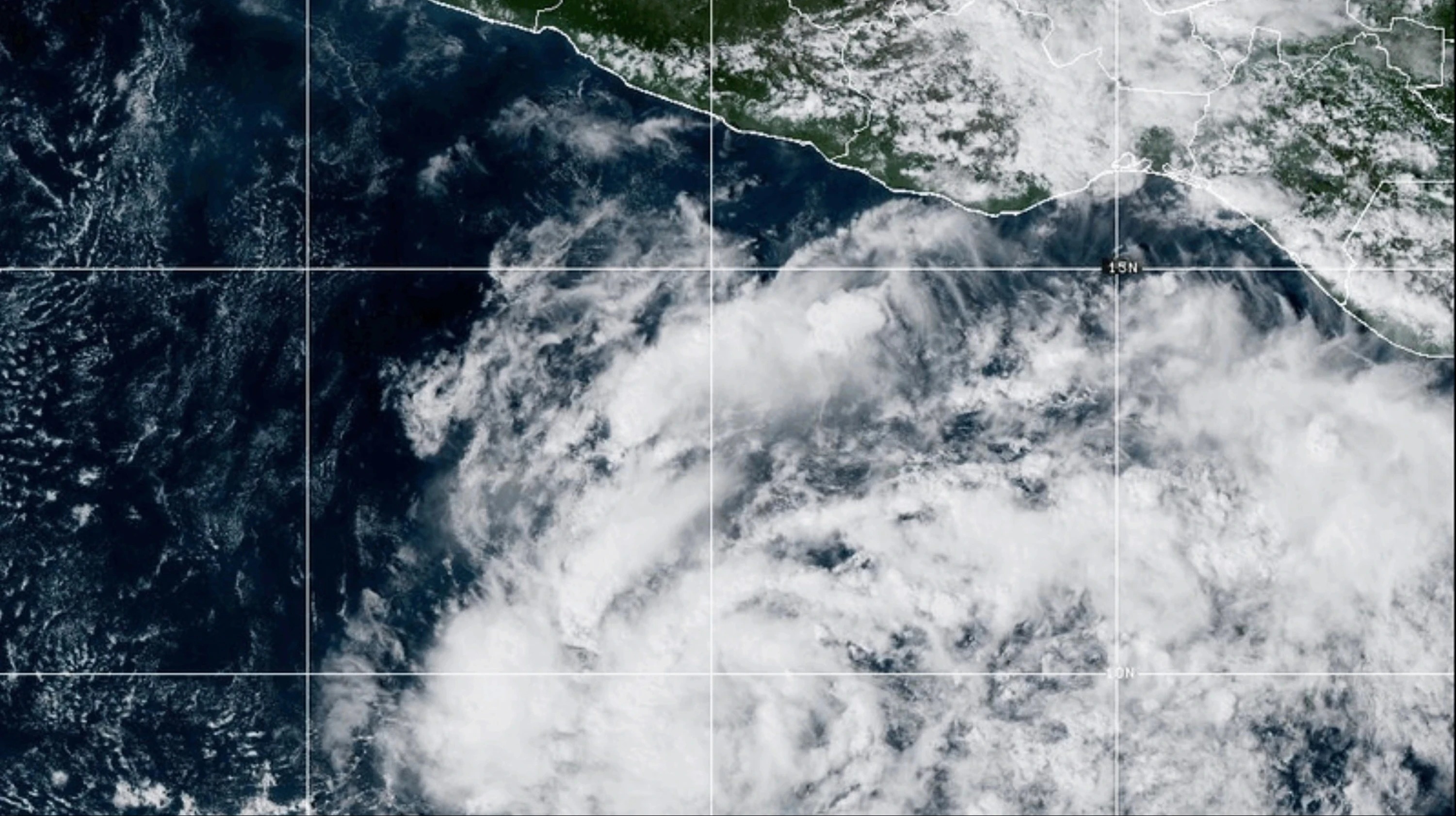
The amount of moisture feeding into Arizona was another important part of the setup. Tropical and subtropical moisture can travel north from Mexico and the eastern Pacific, contributing to rain and thunderstorms across the Southwest.
The Phoenix forecast discussion documented the unusually moist air mass but did not identify a specific tropical cyclone as its source.
Even when tropical moisture contributes to a storm system, that does not necessarily mean a tropical storm or hurricane directly caused the severe weather. The larger atmospheric pattern, including the low-pressure system, instability and wind shear, determines how that moisture interacts with the environment.
Could El Niño be influencing Arizona's weather?
Arizona's unusual severe-weather setup comes as El Niño strengthens in the tropical Pacific, potentially influencing broader weather patterns across the Southwest.
El Niño develops when sea surface temperatures in the central and eastern tropical Pacific become warmer than average. The resulting changes in atmospheric circulation can influence the jet stream, affecting where storms travel and how precipitation is distributed across the United States.
In the Southwest, El Niño is often associated with a greater likelihood of a wetter-than-average cool season, particularly during the winter months. But seasonal precipitation patterns and individual severe-weather outbreaks are different things.
El Niño does not directly trigger a tornado watch, and the timing of the climate pattern alone does not establish a connection to Arizona's storms.
Determining whether El Niño contributed to this particular event would require examining whether it influenced the larger atmospheric circulation pattern that helped bring the powerful low-pressure system and moist air mass into the region.
For now, forecasters have identified the immediate ingredients behind Arizona's severe-weather threat: a deep low-pressure system, abundant moisture, atmospheric instability and strong wind shear. Whether the developing El Niño influenced that combination remains a separate question.
What made Arizona's storm setup unusual?
The Phoenix forecast discussion described atmospheric moisture levels exceeding 1.25 inches of precipitable water over central Arizona, with levels expected to reach or exceed 1.5 inches overnight.
Precipitable water estimates how much water would be present if all the moisture in a column of the atmosphere condensed into rain. Higher values can support heavier rainfall when storms develop.
Forecasters also identified atmospheric instability and strong wind shear, which measures changes in wind speed or direction with height. The combination can help thunderstorms grow stronger and, in some cases, develop rotating updrafts associated with severe weather.
Does this mean Arizona will see more severe weather?
Not necessarily. El Niño can shift the odds of seasonal precipitation and storm patterns, but it does not determine when or where individual severe thunderstorms will develop.
The October outbreak was tied to a particular combination of atmospheric ingredients, including a deep low-pressure system, abundant moisture, instability and strong wind shear.
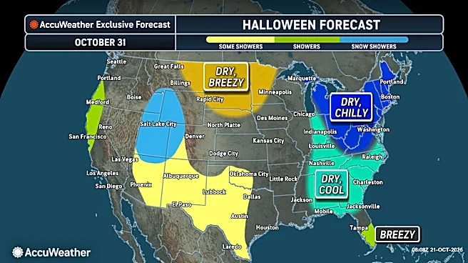
Forecasters expected conditions to become quieter later in the week as drier air moved into the region behind the departing storm system.
For now, Arizona's rare tornado watch offers a reminder that severe weather can occur even in regions better known for heat and dry conditions. Determining whether El Niño contributed to this particular event requires more than the timing of the two phenomena alone.
Brandi D. Addison covers weather across the nation as the Weather Connect reporter for the USA TODAY Network and contributes to Texas Connect coverage across the state. She can be reached at baddison@usatodayco.com. Follow her on Facebook here.
This article originally appeared on Arizona Republic: Arizona got its first tornado watch in 16 years. Is El Niño to blame?