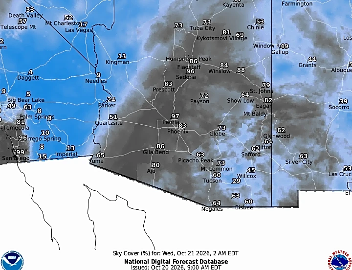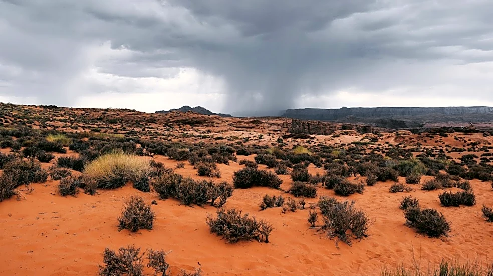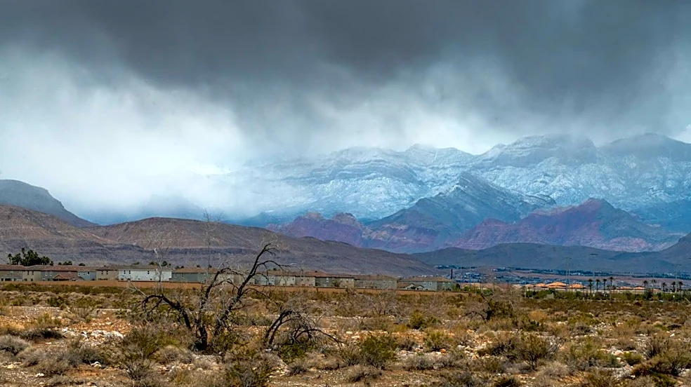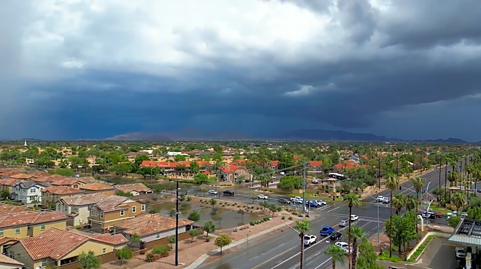




Forecasts for the storms coming to Arizona have taken a more severe turn ahead of their arrival on Wednesday, Oct. 21. Recent updates from the Storm Prediction Center increased the threat level in the state up to an enhanced (level 3 out of 5) risk for severe activity.
Forecasters said this is climatologically rare and a “well-above-typical risk for severe storms is expected, potentially including all severe hazards” — namely large hail, damaging winds and tornadoes.
A powerful low pressure trough off the coast of California will be moving inland, coupled with abundant tropical and subtropical moisture entering the state from the south. There will be very high instability, moisture and wind shear levels that will lead to supercell thunderstorms
developing Wednesday afternoon and evening, Oct. 21.
The waves of activity will fall as scattered storms on Wednesday and Thursday, Oct. 21 and 22. Wednesday evening to Thursday morning will likely be the period of greatest impact for severe weather and flooding, especially up north where storms may linger overnight.
What are the risks?
Tornadoes have caught the most attention, given the rarity of them happening in Arizona, and while an isolated tornado is possible, they are not the greatest threat of this event. The highest chance is a 5% opportunity in a polygon stretching from western Mohave County to northern Gila County and northeastern Maricopa County (including Anthem, Cave Creek, Paradise Valley and Fountain Hills).
The greatest risk of this event is large hail that could grow over an inch in diameter. Those in the highest risk areas could see hail up to 2 inches or more in diameter. The greatest risk for this is in southern Coconino County (including Flagstaff), eastern Yavapai County (including Prescott, Prescott Valley), northern Gila County (including Payson) and slivers of far southwestern Navajo and far northeastern Maricopa counties.
The next greatest threat are damaging winds over 60 mph within severe storms. These powerful gusts will be possible wherever a severe storm is called.
While it’s not technically a severe storm threat, the high instability and moisture will also create heavy rainfall that’ll lead to flash flooding. A flood watch is in effect in most of the state for rainfall rates of 1 to 2 inches per hour. Avoid low-water crossing, easily flooded roads, washes and other susceptible areas, urban or rural.
Where’s the greatest risk?
For the general severe risk categories, those in the level 3 risk include southern Coconino County (including Flagstaff), eastern Yavapai County (including Prescott, Prescott Valley), northern Gila County (including Payson) and slivers of far southwestern Navajo and far northeastern Maricopa counties.
Surrounding that, level 2 risk includes far north Phoenix and northern, eastern Maricopa County (including Deer Valley, Fountain Hills, Apache Junction), along with western Mohave, central Coconino, western Yavapai, southern Gila, eastern Pinal, southern Navajo, southern Apache and northeastern Graham counties.
Level one risk envelops most of the rest of the state except for southwestern Arizona.
Thursday, Oct. 22 also has a slight (level 2) severe risk in place, however outlooks are updated multiple times a day. The most intense activity is expected Wednesday, so this risk is likely lingering activity that lasts through the night and continues in eastern parts of Arizona.
Meteorologist Tevian Whitehurst covers extreme weather and climate for The Arizona Republic and azcentral.com. Follow him at @TevianWX on Instagram and Facebook (Meteorologist Tevian Whitehurst).
We want to see your weather photos: Send to weatherpix@arizonarepublic.com, or on Instagram @azcentral or TikTok @azcentral. Attach your photos and tell us all about what's pictured. They may appear in an online story or in the newspaper.
This article originally appeared on Arizona Republic: Severe weather chances increase in Arizona, with hail, tornado risks