





After a brief day of heating into the lower 90s on Tuesday, Oct. 20, a strong weather system will bring rounds of showers, storms and cooler temperatures to metro Phoenix and Arizona as a whole.
As of Tuesday, a low pressure trough has begun to dive southward down the West Coast, squeezing Arizona between that low pressure to the west and high pressure to the east. This will lead to the warming of temperatures by a few degrees for the day while starting to set up conditions for storminess midweek.
Upper level winds coming from the south will help bring a plume of tropical and subtropical moisture into Arizona overnight Tuesday, making for a cloudy, humid night. By Wednesday morning, Oct. 21, chances for showers and storms develop in higher eastern
and northern Arizona, with coverage spreading to lower deserts expected in the evening through Thursday afternoon, Oct. 22.
The waves of activity will fall as scattered storms, and due to high instability and abundant moisture, thunderstorms will produce heavy rainfall that could lead to flash flooding. The Weather Prediction Center currently grades it a slight risk, meaning scattered flash floods are expected on both days — Wednesday evening to Thursday morning will likely be the period of greatest impact.
Metro Phoenix is included in both slight risk polygons, but the greatest risk for heavy rainfall lies along the Mogollon Rim and other high elevations. Rainfall forecasts in these areas, including the foothills of northeast Maricopa County, range from 1.50 to 3 inches.
In metro Phoenix, forecasts are 0.25 inch to 1.25 inches: lower totals are in the west-southwest, higher totals are in the east-northeast. Rainfall rates of 1 to 2 inches per hour are possible, so locally higher amounts could come from any storm training — those that repeatedly form and pour over one area for an extended period.
Where is flooding possible in Arizona?
Flood watches have been issued in all of central and eastern Arizona, starting earlier Wednesday morning in high elevations to the east and north, then later Wednesday evening for south-central Arizona, including Maricopa and Pinal counties. The watches end Thursday evening, in the lower elevations and later that night for high elevations. They all cite high rainfall rates as the reason.
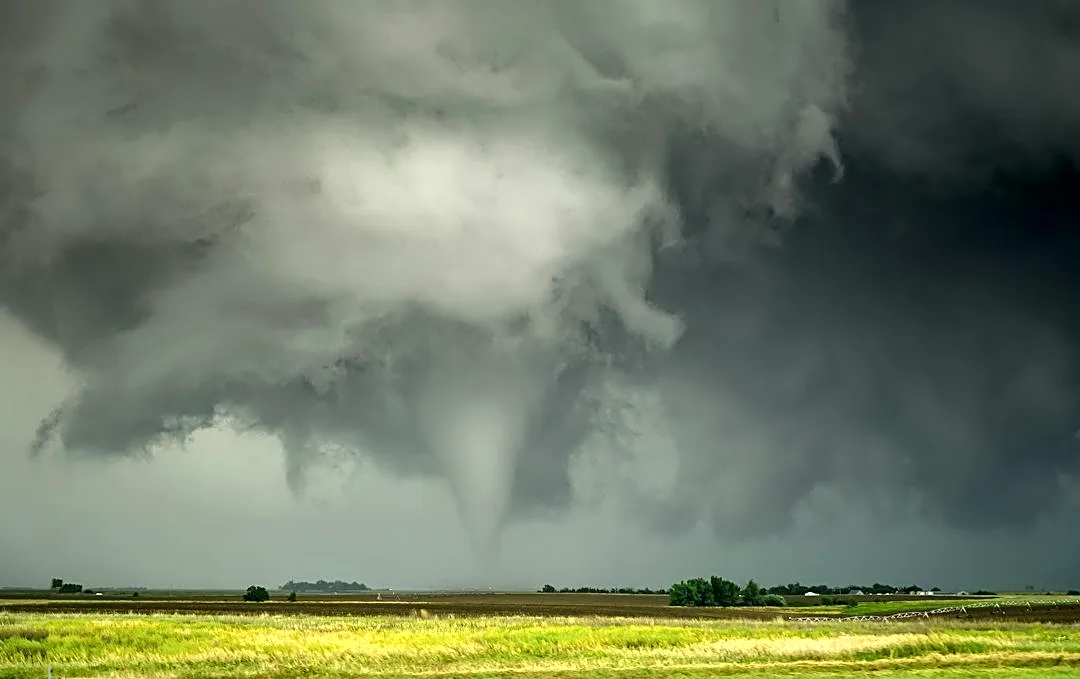
The high instability and storm organization will also create a severe weather threat — high terrain east of Phoenix is under a slight (level 2 out of 5) risk for severe storms on Wednesday. This includes Gila, southeastern Coconino, southern Navajo and southern Apache counties. Strong enough storms may produce damaging wind gusts over 60 mph, large hail and an isolated tornado.
Metro Phoenix, far northern Arizona, and parts of southern Arizona are under a marginal (level 1) risk. Some of the severe threat will extend into Thursday morning as well. Non-severe winds will also be breezy to gusty; lower elevations may get up to 30 mph and northern Arizona could see 30 to 40 mph gusts.
Thursday is when activity begins to die down as the trough pushes farther east and drags a frontal boundary along with it. Drier air will begin to filter into the state throughout Thursday, quieting storm activity from west to east. It’ll stop raining in the Valley in the afternoon while leftover showers could pop up in the higher terrain on Friday, Oct. 23.
The front will pass on Friday and general troughing will keep temperatures cooler and below average through the weekend. Friday is expected to sit in the upper 70s, the rest of the weekend will rise to the lower 80s.
Meteorologist Tevian Whitehurst covers extreme weather and climate for The Arizona Republic and azcentral.com. Follow him at @TevianWX on Instagram and Facebook (Meteorologist Tevian Whitehurst).
We want to see your weather photos: Send to weatherpix@arizonarepublic.com, or on Instagram @azcentral or TikTok @azcentral. Attach your photos and tell us all about what's pictured. They may appear in an online story or in the newspaper.
This article originally appeared on Arizona Republic: Rain, cooler weather return to Phoenix forecast, bringing flood watch