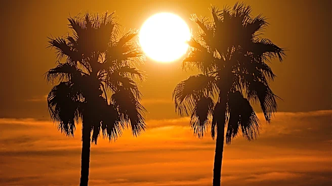



Temperature records were reached and broken throughout the West, including Arizona, as high pressure parked over the state.
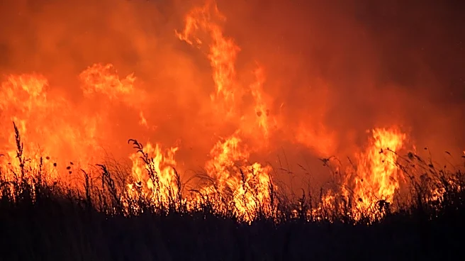
As that high keeps meandering around the region, the Intermountain West and desert Southwest will continue with the high heat and many states will deal with dry, smoky conditions from fires in the Pacific Northwest.
In Arizona, the weather won’t be the most comfortable or safe, but the conditions themselves are relatively common. Hot and humid, but mostly dry in the Valley, with storm chances returning to southeast Arizona.
Briefly looking back, Phoenix added a couple of new lines to the records books: two new record high lows for July 31 and Aug. 2 (possibly a third: Aug. 3 may have again reached the 97-degree warm low record),
a tied record daily high of 116 degrees for Aug. 1, and a new record daily high of 115 degrees for Aug. 2.
Many such records were reached in the latter half of July as the heat became the dominant force in recent weeks. July 2026 will go down as the sixth-hottest July on record for Phoenix, with a mean temperature of 97.4 degrees. Combined with June 2026, the mean temperature this summer so far is 96.2, tying the second-warmest June-July back in 2023, a year much more notorious for the heat. It still trails far behind the scorcher that was summer 2024.
Other record-breaking cities around the region include Billings, Montana; Cheyenne, Wyoming; Grand Junction, Colorado; and Salt Lake City.
When will it get more bearable outside?
Not anytime soon. The shifting high pressure is allowing more moist air to enter the area from the south and east. Dew points will stay in the 50s and 60s, helping to lower temperatures a few degrees while heat indices remain at dangerous levels.
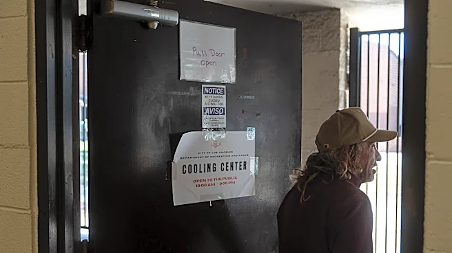
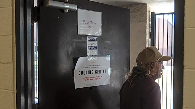
Major to extreme heat risk will stick around in the area, so the Phoenix National Weather Service extended extreme heat warnings for lower deserts in central and southwest Arizona to Friday night, Aug. 7. Expect temperatures locally of 107 to 115 degrees, with high humidity being the real danger.
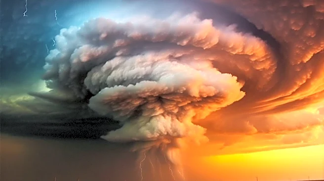
The increased humidity bodes well for eastern and southeast Arizona, where thunderstorm activity is likely along the White Mountains and Sky Islands Monday afternoon, Aug. 3. In the Valley, storm activity is unlikely, but strong outflow boundary winds over 35 mph are expected to blow this way, possibly creating areas of blowing dust.
Later model runs have begun introducing showers and storms in northern Gila County combining outflows from the south that could bring some activity to Phoenix between 9 p.m. to midnight. Odds of this are low, but are being watched.
For lower deserts, there may only be enough instability for one good day — Tuesday is expected to see the highest moisture and instability area-wide, but if Monday exceeds expectations and storms go beyond the mountains, that’ll cool and calm the atmosphere a bit.
For the rest of the week, expect similar conditions with the extreme heat. The high pressure center will wobble northward toward Utah, allowing some “reprieve” from the record temperatures, but winds coming from east bring more humid air that keeps the uncomfortable mugginess. Decent storm chances in eastern Arizona’s high terrain may blow some winds and dust into the Valley, along with the occasional storm.
Longer-range forecasts point to better storm chances next week.
Meteorologist Tevian Whitehurst covers extreme weather and climate for The Republic and azcentral.com. Follow him at @TevianWX on Instagram and Facebook (Meteorologist Tevian Whitehurst).
This article originally appeared on Arizona Republic: Extreme heat persists in Phoenix after weekend records fall