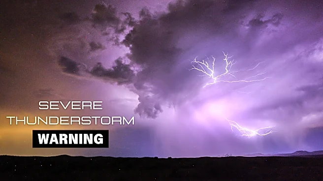


A severe thunderstorm warning was issued by the National Weather Service in Flagstaff on Thursday, Aug. 6. This warning applies to Coconino and Yavapai counties.
A flash flood warning also was issued for Coconino and Yavapai counties.
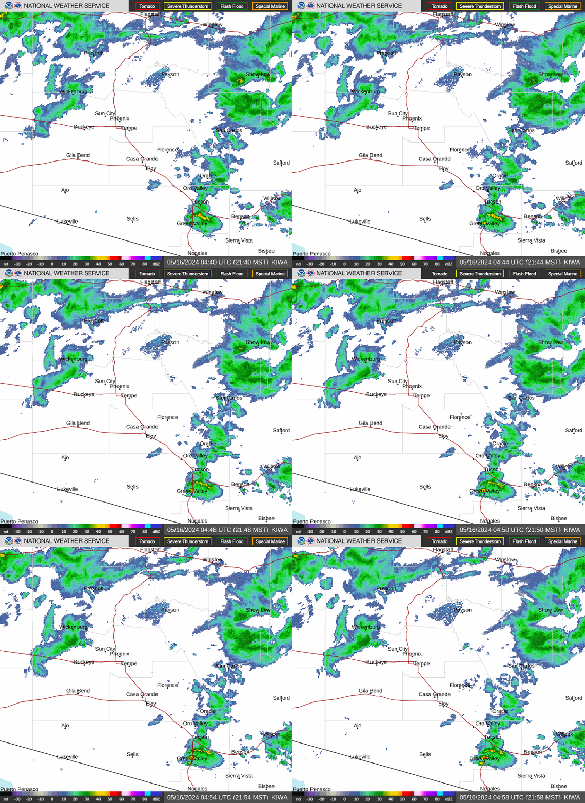
See weather radar for northern Arizona
What are weather service meteorologists saying?
At 4:09 p.m., the weather service issued a statement:
The National Weather Service in Flagstaff has issued a Severe Thunderstorm Warning for, Coconino County in north central Arizona, Yavapai County in west central Arizona, Until 4:30 p.m. MST. At 3:59 p.m. MST, a severe thunderstorm was located near Edge of the World, or near Sedona, moving southwest at 15 mph. This is a new warning that replaces the previous warning.
HAZARD: Quarter size hail.
SOURCE: Radar indicated.
IMPACT: Damage to vehicles is expected. Locations
impacted include: Sedona, Sedona Airport, Slide Rock State Park, Palatki Heritage Site, Edge of the World, Secret Mountain Vista, Fernow Cabin, East Pocket Lookout Tower, Honanki Heritage Site, Sycamore Point, Uptown Sedona, Red Rock-Secret Mountain Wilderness, Indian Gardens and Sycamore Canyon Wilderness. This includes the following highways, State Route 179 near mile marker 313. State Route 89A between mile markers 369 and 383. This includes the following recreation areas and campgrounds, Manzanita Campground and Taylor Cabin Line Camp. This includes the following swimming holes, Slide Rock, Encinoso, Grasshopper Point, Midgely Bridge and Crescent Moon Ranch.
The weather service also issued a statement:
The National Weather Service in Flagstaff has issued a Flash Flood Warning for, The Pocket Fire scar in, Coconino County in north central Arizona, Yavapai County in west central Arizona, Until 7 p.m. MST. At 4:04 p.m. MST, Doppler radar indicated thunderstorms producing heavy rain over the Pocket Fire scar. Between 1 and 1.5 inches of rain have fallen. Additional rainfall amounts up to 1 inch are possible in the warned area. Flash flooding is ongoing or expected to begin shortly.
HAZARD: Life threatening flash flooding. Thunderstorms producing flash flooding in and around the Pocket Fire scar. This includes Oak Creek and Dry Creek.
SOURCE: Radar indicated.
IMPACT: Life threatening flash flooding of areas in and around the Pocket Fire scar. Some locations that will experience flash flooding include: Sedona, Slide Rock State Park, Edge of the World, East Pocket Lookout Tower, Fernow Cabin, Uptown Sedona, Red Rock-Secret Mountain Wilderness, Indian Gardens and West Fork of Oak Creek. This includes the following highways, State Route 179 near mile marker 313. State Route 89A between mile markers 366 and 368, and between mile markers 374 and 385. This includes the following recreation areas and campgrounds, Manzanita Campground and Cave Springs Campground. This includes the following swimming holes, Slide Rock, Encinoso, Grasshopper Point and Midgely Bridge. This includes the following creeks, washes and rivers, Oak Creek, Dry Creek, Spring Creek and West Fork Oak Creek.
What is a severe thunderstorm warning?
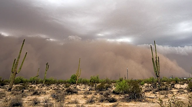
Thunderstorms are a staple in Arizona, especially during the state's monsoon season, which runs from June 15 to Sept. 30. The monsoon is characterized by intense heat, surges of moisture and atmospheric instability, creating clouds and storm chances in the afternoon.
While storms in Arizona are most frequent during the monsoon, they can happen year-round. Storms can be spotty and short-lived, while others can unleash strong winds, flashes of lightning and torrential downpours.
A severe thunderstorm warning means the area is experiencing or is about to experience a storm with winds of 58 mph or higher and/or hail an inch in diameter or larger.
Tips for staying safe during thunderstorms in Arizona
- Go indoors at the first sound of thunder. Lightning strikes can occur miles away from the parent storm.
- Resume outdoor activities 30 minutes after the storm passes.
- Avoid electronics, plumbing and windows.
- Remember to bring pets inside.
- If there is time, secure loose objects outside as these objects often become dangerous flying debris in high winds.
What is a flash flood?
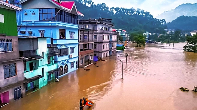
Arizona's desert landscape is highly prone to flash flooding. A flash flood is a flood caused by heavy or excessive rainfall in a short period of time, generally less than six hours, according to the weather service.
A flash flood can be sudden and violent and take just minutes to develop. Even if skies are clear overhead, rainfall upstream can funnel into dry riverbeds and create dangerous flows miles away.
How much water is needed to cause a flash flood?
It doesn't take much water to trigger a flooding event in the desert: An inch of rain or less in an hour is often enough to cause a flood. How quickly and where rain falls determines flooding more than rain totals.
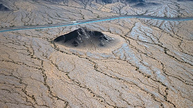
Desert soils struggle to absorb water, especially after extended dry spells. The surface can become almost waterproof, causing runoff.
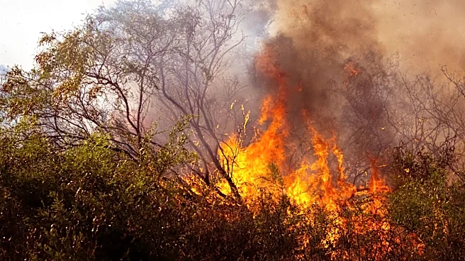
Topography also plays a role, as steep canyons, mountains and dry washes are susceptible to floods. Areas impacted by wildfires are more at risk, as the flames can burn the top layer of the soil, preventing absorption and increasing runoff.
What's the difference between a flash flood watch and a flash flood warning?
A flash flood watch means conditions are favorable for flash flooding to develop, but it isn't happening yet. In Arizona, this often happens when monsoon storms or heavy upstream rainfall could send sudden surges of water through washes, canyons or urban areas.
During a flood watch, it's important to monitor local forecasts and alerts, plan evacuation routes in case flooding begins, move vehicles out of low-lying areas and avoid recreation in areas that could fill with water quickly.
A flash flood warning is more urgent, meaning flooding is impending or already occurring. Warnings are typically issued when rainfall is recorded at levels that can suddenly overwhelm desert drainage or when flooding has already been observed.
Tips for staying safe during a flood warning in Arizona
- If advised to evacuate, do so immediately.
- Do not walk through floodwater. Just 6 inches of floodwater can sweep you off your feet if it is moving swiftly.
- Turn around, don't drown: Never attempt to drive through a flooded street; instead, turn around and find an alternative route. Just 12 inches of water can carry away smaller vehicles, and 2 feet can carry away SUVs and trucks. Most flood-related deaths are caused by people driving through water.
- Watch out for fire hazards and move to higher ground.
- Pay attention to weather notifications and road closures.
- Do not allow children to play in flowing water. Waters can hide rocks, trees and debris.
This weather report was generated automatically using information from the National Weather Service and a story written and reviewed by an editor.
See the latest weather alerts and forecasts here
This article originally appeared on Arizona Republic: Thunderstorm, flash flood warnings issued for northern Arizona, including Sedona