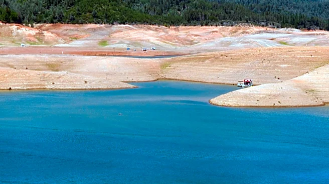

Lake Mead’s water levels reached a new low early Aug. 7, a record that is likely to fall repeatedly in coming months as the government holds back water upstream to protect Glen Canyon Dam this summer.
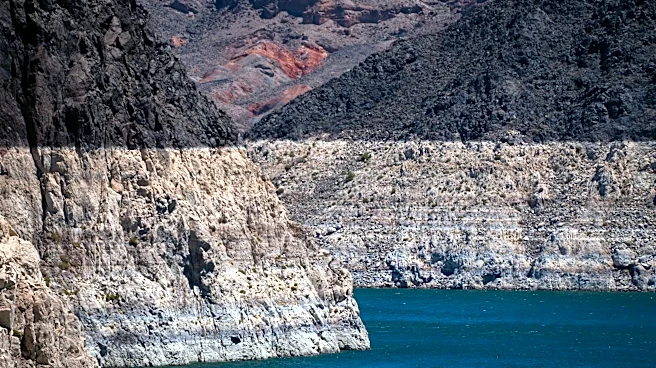
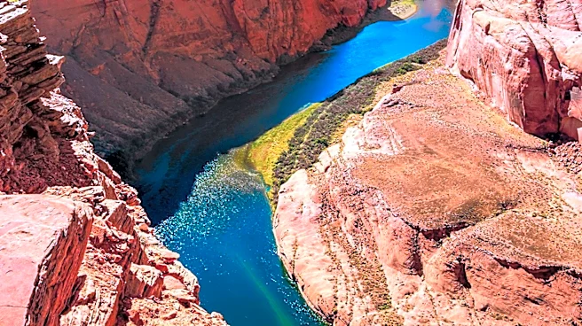
The Colorado River water now filling just 27% of Lake Mead’s capacity fell to a surface elevation of 1,040.5 feet above sea level, its lowest point since July 28, 2022. The water hasn’t dipped so low since April of 1937, when the reservoir was still filling scarcely a year after crews put the finishing touches on the 726.4-foot-high concrete dam.
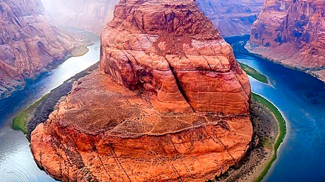
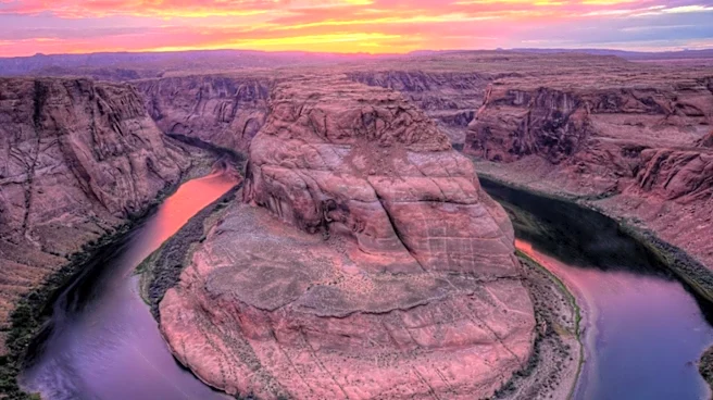
Lake Mead’s combined storage with Lake Powell, the large pool sitting upstream of Grand Canyon, is also at an all-time low. The crisis has built over more than a quarter-century of regional warming and declining
mountain snows that have shrunk a river that once flowed at least 15 million acre-feet a year to one that averages closer to 12 million in this century.
“Every day going forward, until runoff from the 2026-2027 winter snowpack begins next spring, a new record low will likely be set,” a team of researchers with the Center for Colorado River Studies wrote in a white paper when the pair of reservoirs — the nation’s two largest — crossed that threshold. “This is a significant moment in the evolving Colorado River water supply crisis.”
With this year’s abysmal snowmelt runoff already having come and gone, Lake Mead will continue declining as water users in Arizona, California, Nevada and Mexico draw from it for the rest of the year. Complicating the problem is the fact that Lake Powell’s own shortage has caused the U.S. Bureau of Reclamation to promise only 6 million acre-feet in releases from it toward Lake Mead, down more 2 million from a normal year.
The agency’s latest forecasting study for the system, from mid July, predicted that Mead’s water level would decline nearly 5 feet more this year before rebounding to elevation 1,037 by year’s end, then perhaps declining to 1,015 or lower by fall of 2027.
Hoover Dam stops making hydropower at elevation 950 and loses its ability to pass any water downstream at elevation 895. Preventing those outcomes and the chaos they would cause has led Reclamation to propose cuts of as much as 3 million acre-feet a year from the three states that use water out of Mead, from a supply that once ran to 7.5 million.
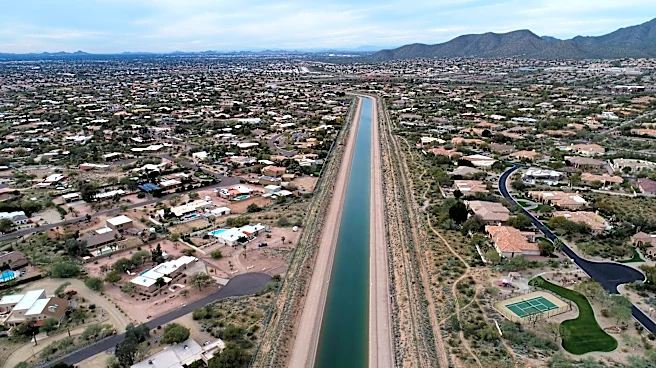
Such massive cuts could cause the Central Arizona Project canal to go dry, Arizona officials have warned, and they say that’s unacceptable. CAP is a significant source to the state’s large cities, providing up to 40% of Phoenix’s supply.
As of Aug. 7, federal officials had not said how much of a reduction they would actually seek for the next two years — only that that they could demand that much if dry conditions demand it during any two-year period in the next 10 years.
The scope of cuts and how they’re distributed among seven states that take from the broader Colorado River watershed may yet be the subject of an interstate lawsuit, for which Arizona has set aside millions of dollars. In the meantime, CAP General Manager said during an Aug. 5 community forum in Phoenix, Arizona must seek deals or projects to bring in new water to make up the difference.
“We have traditionally just delivered Colorado River water to our canal,” Burman said. “But we've always known it was built extra-large because it was meant to carry other water supplies.”
Brandon Loomis covers environmental and climate issues for The Arizona Republic and azcentral.com. Reach him at brandon.loomis@arizonarepublic.com.
Environmental coverage on azcentral.com and in The Arizona Republic is supported by a grant from the Nina Mason Pulliam Charitable Trust.
Follow The Republic environmental reporting team at environment.azcentral.com and @azcenvironment on Facebook and Instagram.
This article originally appeared on Arizona Republic: Lake Mead hits lowest levels since 1937 as Arizona braces for cuts