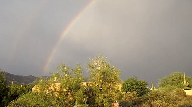



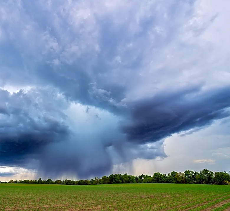




The ingredients to cook up some monsoon storms have been in place since Monday, with hot temperatures and plenty of moisture, and now we head into the midweek peak, where strong storms are expected to drop heavy rainfall across Arizona.
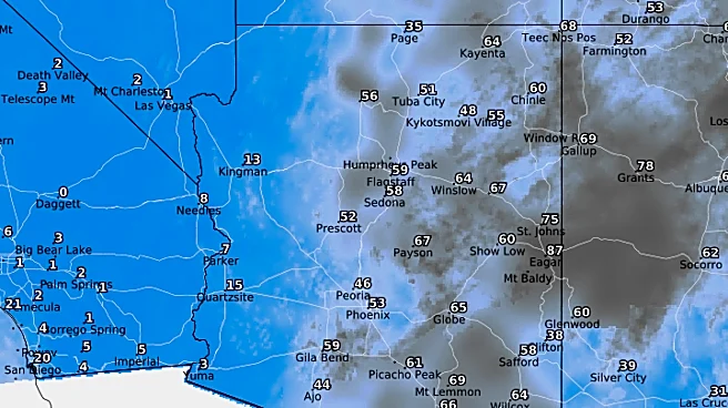
Most of the moisture and storms have been focused on east and southeast Arizona, but now metro Phoenix will get a chance to see up to an inch of rain, or more, over a nearly 24-hour period.
On a wider scale, the subtropical high pressure ridge is far off to east, over the Mississippi Valley, while a trough has been digging into the West Coast. Arizona is in the middle of influence between those two features as they funnel tropical monsoon moisture into the state from the south.
This has created rounds of active
weather expected to through Thursday, Sept. 17, but the peak of activity will be late Tuesday through Wednesday, Sept. 15 and 16. The primary threat throughout the week’s events will be heavy rainfall that leads to flooding, but all other threats are possible, including showers and thunderstorms, lightning, winds over 35 mph and localized blowing dust.
There was a slow start in the Valley, as rain chances on Monday and Tuesday were isolated, while widespread activity began in the eastern Mogollon Rim and southeastern Arizona in the afternoon. The best chances for widespread storms in the Valley begin overnight Tuesday.
Storm chances rise as high as 70%, with the higher odds in the East Valley. The first wave of the active period is expected to start around midnight Wednesday into the morning hours. Multiple waves are predicted to come through the morning, then after a small lull in the early afternoon, more scattered storms are expected late Wednesday afternoon and evening.
By Thursday, much of the available energy is expected to get used up, leaving isolated storm chances around 20%. Cloud cover is also expected for much of the day, limiting the ability to recover said energy.
Flood watches on Monday, Sept. 14 were isolated to southeastern Arizona, but on Wednesday, Sept. 16, a majority of the state will be under a flood watch for the entire day.
In central and southeastern Arizona, the watch lasts until 11 p.m. In northern Arizona, the watch lasts until 5 a.m. Thursday, Sept. 17. Rainfall rates of 1 to 2 inches are expected, leading to flash flood risk across the state. This was also cited by the Weather Prediction Center, which placed most of Arizona under a Level 2 slight risk of excessive rainfall.
Rainfall totals could range from 0.50 of an inch to 1 inch in the Valley and closer to 2 inches in higher elevations to the east and southeast.
By Thursday, Sept. 17, the upper level trough that's been pushing into the West Coast will have moved much closer, making it to the Great Basin region. This begins a wind shift from the south to out of the west, which will dry out the air over Arizona and stamp out rain chances heading into Friday, Sept. 18 and the weekend.
Between the rain-cooling effect and cloud cover at various points of each day, peak temperatures will remain a good deal below average, ranging from the lower 90s to 100 degrees on Wednesday. On Thursday, while rain chances decline for the Valley, cloud cover will still keep temperatures under 100, but likely a bit warmer in the mid- to upper-90s. Simultaneously, this may keep overnight lows a few degrees above average in the lower 80s. As the drier air filters in, temperatures begin to rebound on Friday, Sept. 18, ranging from 102 to 104 degrees.
Meteorologist Tevian Whitehurst covers extreme weather and climate for The Arizona Republic and azcentral.com. Follow him at @TevianWX on Instagram and Facebook (Meteorologist Tevian Whitehurst).
We want to see your weather photos: Send to weatherpix@arizonarepublic.com, or on Instagram @azcentral or TikTok @azcentral. Attach your photos and tell us all about what's pictured. They may appear in an online story or in the newspaper.
This article originally appeared on Arizona Republic: Heavy rain, lower temps, flood risk will move into Arizona overnight