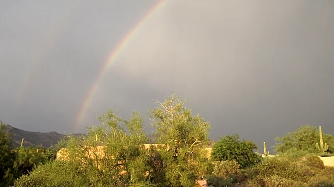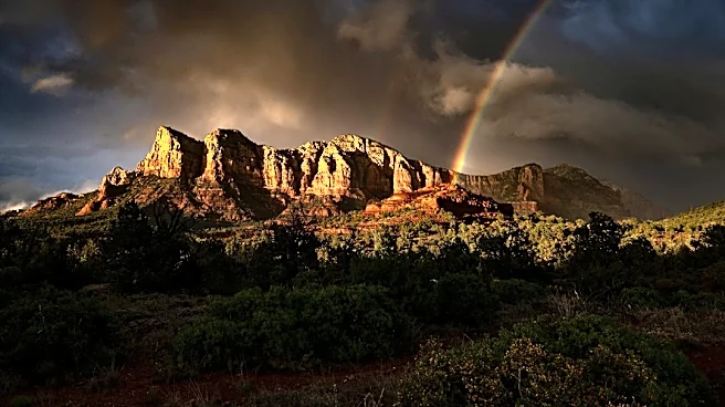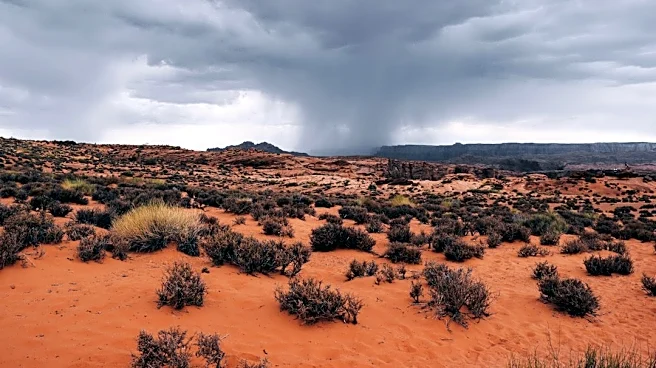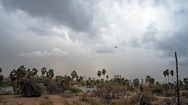







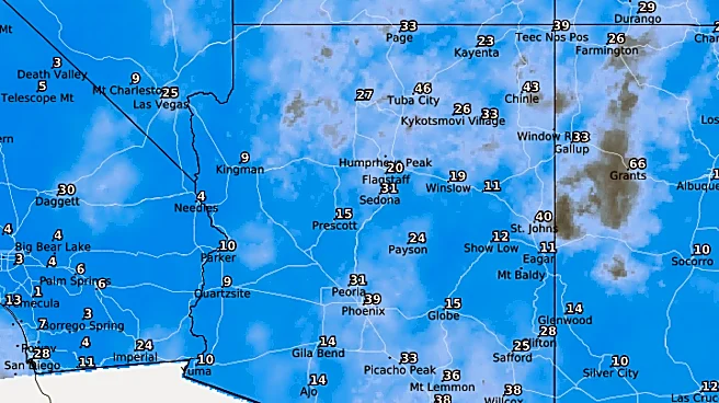
As the week gets going on Monday, Oct. 12, isolated to scattered showers persist in the Valley and all of Arizona, but coming with them is some of the coolest weather seen since the spring — highs in the 70s!
In the wake of storms brought on by Tropical Cyclone Rachel, Arizona is still under the influence of a rainmaking, low pressure trough. It’s starting to pull in some drier air aloft from the southwest, but there’s plenty of moisture already in the atmosphere that will encourage showers and storms throughout Monday and Tuesday, Oct. 12 and 13.
Activity will be spotty in nature, so not everyone will get a piece of the action — the highest totals expected are an additional quarter to half of an inch, with the best chances in the foothills of northern
and northeastern Maricopa County, along with other high elevations to the north of the state.
As the trough fully passes later Monday night with a frontal boundary, some more organized storms may try to form, but the entrance of drier air will be a stronger inhibiting factor.
This rain will fall on top of the previous weekend’s totals that range widely from a tenth of an inch to 1.50 inches.
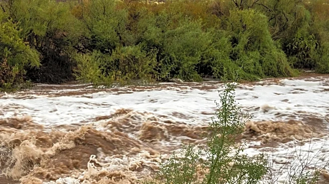
Flash flooding will still be possible in washes, creeks, low-water crossings and other flood-prone areas, so continue to be vigilant and avoid driving through them. The flood watch is still active in Yavapai, Coconino, northern Gila and southern Navajo counties until 5 p.m. Monday. There will also still be breezy conditions, with wind gusts up to 35 mph.
As Tuesday begins, drying will only strengthen from west to east, with central and southern Arizona likely being done by lunchtime and northern Arizona quieting by the end of the day. Winds will die down, clouds will fade and sunshine should return in full force.
Also on Tuesday, the much-cooler air begins to take over the state. Tuesday and Wednesday, Oct. 13 and 14, are expecting highs down in the upper 70s. The last time Phoenix saw multiple days below 80 degrees was in April (even though most of the spring was hot and above-average, if not record-breaking). These are temperatures 10 or more degrees below average.
Morning lows on Wednesday will also be quite cool, down in the 50s, which will prompt many to whip out jackets to walk the dogs and make the morning commute.
Heading into the latter half of the week, high pressure is expected to begin building overhead while a cutoff low pressure sits to our southwest. This setup does not appear to be another rainmaker due to so much dry air in the region, but it will allow temperatures to warm closer to average in the mid-80s and breezy conditions to redevelop. Winds gusts could blow between 25 to 35 mph Thursday night through Saturday, Oct. 15 to 17.
Meteorologist Tevian Whitehurst covers extreme weather and climate for The Arizona Republic and azcentral.com. Follow him at @TevianWX on Instagram and Facebook (Meteorologist Tevian Whitehurst).
We want to see your weather photos: Send to weatherpix@arizonarepublic.com, or on Instagram @azcentral or TikTok @azcentral. Attach your photos and tell us all about what's pictured. They may appear in an online story or in the newspaper.
This article originally appeared on Arizona Republic: Leftover showers persist while a fall feeling takes over Arizona