





Oct. 5 is, on average, the final 100-degree day of the year in Phoenix, but this year, it appears temperatures will go above and beyond yet again.
For the first full week of October, the Valley will go from hot and breezy to just hot — the triple digits make a comeback Tuesday through Thursday, Oct. 6 to 8, before we get a chance at relief over the weekend. However, there is still some uncertainty about how that’ll play out.
Since the past weekend, Arizona has been sandwiched between a strong pressure gradient from high pressure overhead and low pressure to the east. This is what made it so breezy outside, with sustained winds up to 25 mph and gusts blowing upward of 40 mph. It even kicked up some dust in Pinal County.
That has continued as of
Monday morning, Oct. 5 — gusts will continue to reach 20-35 mph, but are expected to slowly calm throughout the day.
Temperatures on Monday will be in the upper 90s, about 99 in Phoenix and other inner parts of the metro area, but they’ll continue to rise during the middle of the week. Wednesday and Thursday, Oct. 7 and 8, will be the hottest days of the week, reaching 100 to 102 degrees. Overnight lows will also stay unseasonably warm, hanging in the upper 70s to lower 80s.
Meanwhile it’ll get as hot as 106 degrees in far southwestern Arizona. An extreme heat watch is in effect on Wednesday and Thursday for the western edge of Yuma County for the major heat risk they’re facing.
Although many people are tired of the heat, if it’s any consolation, remember that this isn’t as hot as October 2024, when the first half of the month was above 100 degrees — four of those days were above 110 and and 10 of those days were above 105.
It's even hotter down in sunny Southern California
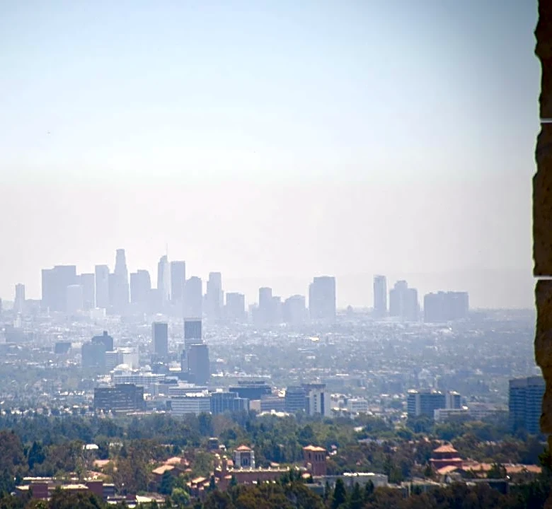
Speaking of extreme heat for the season, our neighbors in Southern California aren't having much fun, to say the least. Since the beginning of October, daily and all-time records have repeatedly been broken in cities around Los Angeles and San Diego.
The hottest temperature reached was 108 degrees in Vista, California, tying an all-time record. The National Weather Service in Los Angeles shared on X that this summer, between June 1 and Oct. 4, ranked as their hottest summer on record, with an average temperature of 86.3 degrees. This is 0.4 degrees hotter than its predecessor and about 5 degrees hotter than average.
The good news is that none of this will last long. High pressure will begin to break down and give way to a low pressure system rolling in from the Pacific into the West Coast. This will release the grip high pressure has over us, returning temperatures under 100 by the weekend and closer to average early next week, which will be 92 degrees by then.
Rain chances may also return, but that’s the most uncertain piece of the forecast currently. Eyes are on Hurricane Rachel, which has been traveling out to sea since the start of the month.
By Saturday, it’ll be a remnant low in cooler waters whose moisture could get snatched up by the aforementioned low pressure trough. This could spell some rain chances very late in the weekend or early next week. The odds of that panning out will take a few more days to determine.
Meteorologist Tevian Whitehurst covers extreme weather and climate for The Arizona Republic and azcentral.com. Follow him at @TevianWX on Instagram and Facebook (Meteorologist Tevian Whitehurst).
This article originally appeared on Arizona Republic: October in Phoenix is off to a hot start, but it won't last long