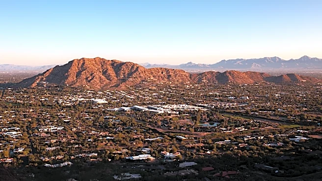






One of the last weeks of monsoon season is expected to bring much-needed heat relief to metro Phoenix after the second hottest summer on record.
Light showers fell overnight in north Phoenix and the West Valley on Sept. 11, adding between 0.04 and 0.5 of an inch of rain to precipitation totals across the Valley, according to the Maricopa County Flood Control District.
Temperatures the week of Sept. 13 are forecast to be cooler than last week, with highs in the low 100s, the National Weather Service said, but will remain slightly above normal. Heat risk levels will hover around moderate the entire week.
Higher humidity and cloud coverage are expected to stick around the Phoenix area with storm chances around 25% or lower, according to the weather
service.
But later in the week, the agency said an unsettled, wet pattern for south-central Arizona could be possible, leading to a few active thunderstorm days and severe weather potential.
Monsoon rains have performed near overage overall — Phoenix is only 0.45 inches below normal. For the fall, projections already point to an increased probability of above-average precipitation and temperatures across Arizona.
Forecast for metro Phoenix
Here's what's expected the week of Sept. 13:
- Sept. 13: Sunny with a high near 101 degrees
- Sept. 14: Mostly sunny with a high near 102 degrees; a 20% chance of showers and thunderstorms before 11 a.m. with a 30% chance of thunderstorms overnight
- Sept. 15: Sunny with a high near 101 degrees; a 10% chance of showers before 11 a.m., increasing to a 30% chance overnight
- Sept. 16: Mostly sunny with a high near 101 degrees; a 20% chance of showers and thunderstorms before 11 a.m., decreasing to a 10% chance overnight
- Sept. 17: Sunny with a high near 103 degrees
- Sept. 18: Sunny with a high near 105 degrees
Have a news tip? Contact The Arizona Republic and azcentral.com at newstips@arizonarepublic.com.
This article originally appeared on Arizona Republic: Rain chances, cooler temperatures forecast for metro Phoenix