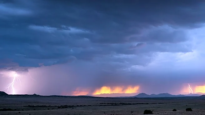





Monsoon storms again rolled through metro Phoenix, downing trees and power lines and knocking out power for a few thousand people overnight into Tuesday, Aug. 11.
The most recent activity cast a wider net, giving north Phoenix and northeast Maricopa County some good rainfall in addition to pouring over the West Valley again.
Most of the damage was reported in north Phoenix, particularly around Paradise Valley and north of the Phoenix Mountain Preserve. Trees were uprooted or knocked over around Paradise Valley Parkway and Cactus Road, Shea Boulevard and Tatum Boulevard and 40th Street and Thunderbird Road.
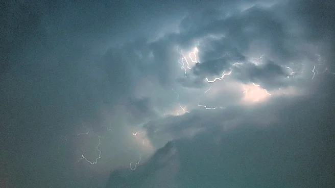
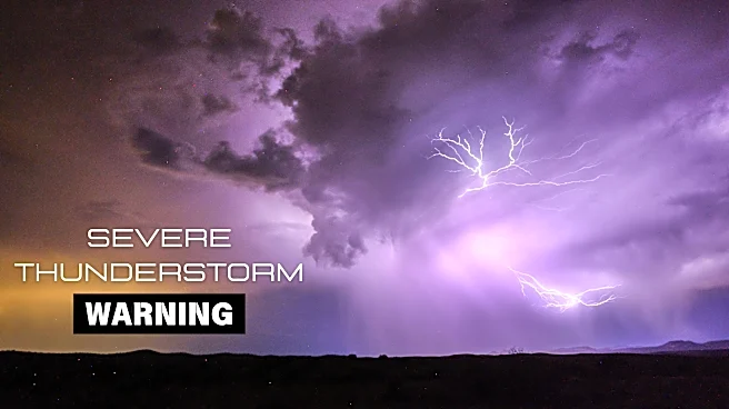
Videos on Facebook show a tree that fell onto a home’s fence and cars, along with lots of lightning in the sky.
Upward of 4,000 customers between
north Phoenix and the West Valley were reported to have lost power. By the afternoon on Aug. 11, APS and SRP had gotten most back up and running.
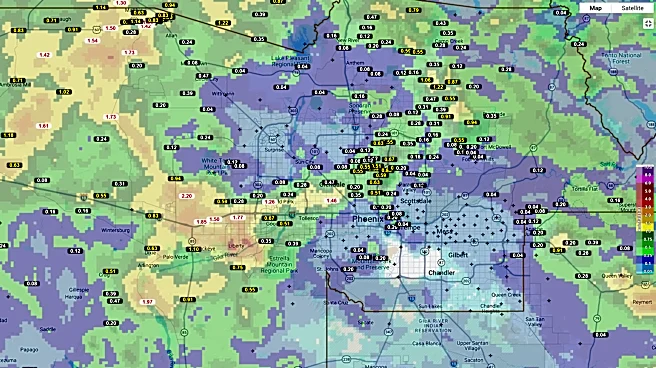
Rainfall totals for the day were impressive, yet again. Grand Canyon University recorded the most, receiving 1.34 inches. Other high totals, ranging from 0.50 of an inch to 1.25 inches, were seen around Glendale and northeast toward washes near Camp Creek, northeast of Cave Creek.
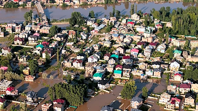
When combined with Monday morning’s totals, the West Valley takes the cake. The peak totals of 1.25 to 2-plus inches were seen around Glendale, Buckeye and far northwestern Maricopa County. It had led to flash flooding and standing water in the area.
That will still be possible with future rainfall events, but storms will be turning down a notch.
Given the immense activity of the past two days, storm chances for Tuesday night, Aug. 11, into Wednesday, Aug. 12, are much lower. They’re not zero, but atmospheric resources have been exhausted. Chances in the Valley are only about 10-20% as gusty outflow winds try to push this way. The region was not marked for severe weather like it has been the past two days.
The forecast becomes more uncertain for Wednesday, Aug. 12, into Thursday, Aug. 13. A low pressure trough will begin to enter the West, bringing drier southwesterly air to Arizona. Phoenix will still have ample moisture in place, but it’s a race to see how quickly the drier air will spread and dampen rain chances.
Because of this, northern and eastern areas have better opportunities to get the last rounds of rain before the quieter conditions take over after Thursday.
Meteorologist Tevian Whitehurst covers extreme weather and climate for The Republic and azcentral.com. Follow him at @TevianWX on Instagram and Facebook (Meteorologist Tevian Whitehurst).
We want to see your weather photos: Send to weatherpix@arizonarepublic.com, or on Instagram @azcentral or TikTok @azcentral. Attach your photos and tell us all about what's pictured. They may appear in an online story or in the newspaper.
This article originally appeared on Arizona Republic: Storms pummel Phoenix again, with more rain chances before week ends