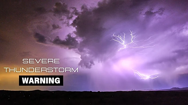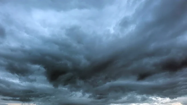





Monsoon storms are back in the forecast in full force throughout Arizona from Saturday through Monday, Aug. 29 to 31.
In the upper levels of the atmosphere, the high pressure ridge is moving off to the east toward New Mexico and west Texas as a storm-supporting trough slides into the West Coast. This is building plenty of convective energy in the state to join the ample moisture already pulling in from the south to create multiple widespread thunderstorm opportunities this weekend.
Activity began Saturday afternoon, primarily in the high country and southeast Arizona, but the Valley won’t get left out of the action or the storm risks.
There’s a marginal (level 1) opportunity for severe storms from Arizona’s northern to southern border, with all
threats on the table: heavy rainfall, severe-strength winds, blowing dust, frequent lightning and small hail.
A flood watch is in effect through Sunday morning in central Arizona surrounding Phoenix for rainfall rates as high as 1.5 inches per hour. Storm cells are expected to move quickly toward the northeast, but given the abundance of usable energy, more storms can develop quickly from outflow boundaries. Weather services in Flagstaff and Tucson have flood watches in the north and southeast that last longer than the watch in central Arizona.
Strong to severe winds could kick up dust in areas south of Phoenix in Maricopa and Pinal counties. A blowing dust advisory will be in effect 4 p.m. to 9 p.m. Saturday, Aug. 29.
When it’s all said and done, rainfall totals in metro Phoenix could range anywhere from a quarter of an inch to over an inch — there will likely be higher isolated totals given the scattered nature of these thunderstorms. Higher totals over two inches are predicted in Yavapai County between Prescott and Flagstaff, as well as in southern Pima and Santa Cruz counties south of Tucson.
Both Saturday and Sunday, Aug. 29 and 30, are expected to be very active weather days across Arizona. Sunday could be slightly quieter depending on how quickly the atmosphere recovers from Saturday night — regardless, similar conditions are very possible. By Monday, Aug. 31, the same upper-level trough that gifted conducive storm conditions will begin to filter in drier air, which could lower storm chances for the western side of the state while maintaining good chances for Maricopa County and eastward.
Eventually, the drier air will overtake the entire state and lower chances during the middle of the week, which will be the start of September. But more moisture and rain chances are not far off.
Temperatures throughout this period fall back down to, if not below, average for the following week, ranging from the upper 90s to 107 degrees.
Meteorologist Tevian Whitehurst covers extreme weather and climate for The Arizona Republic and azcentral.com. Follow him at @TevianWX on Instagram and Facebook (Meteorologist Tevian Whitehurst).
We want to see your weather photos: Send to weatherpix@arizonarepublic.com, or on Instagram @azcentral or TikTok @azcentral. Attach your photos and tell us all about what's pictured. They may appear in an online story or in the newspaper.
This article originally appeared on Arizona Republic: Great chances for storms' return to Arizona for final weekend in August