




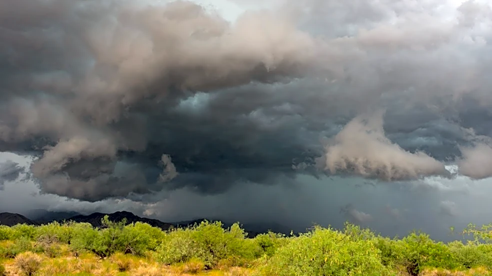

It's official — two tornadoes touched down in Arizona on Wednesday, Oct. 21, during a rare and abnormally powerful severe weather outbreak that swept across the state.
The first moved through a forested area around Spruce Mountain in Yavapai County, avoiding any nearby towns. The second, already more famous tornado, tore through the unsuspecting town of Heber-Overgaard. Tornadoes were the most fearsome of all the storm risks possible during the storm, including large hail upward of 2.5 inches in diameter, damaging winds up to 75 mph and flash flooding from heavy rainfall.
The National Weather Service released storm surveys Oct. 24 regarding the Heber-Overgaard tornado, ranking it an EF1. It reached wind speeds of 110 mph and made a path 350 yards
wide. It developed south of Heber-Overgaard and traveled north across State Route 260 through town before dissipating near State Route 277.
From touchdown at 6:59 p.m. to its dissipation, the tornado traveled about 9.25 miles in 11 minutes, while traversing the town, damaging homes, trees and a commercial structure in its path. Thankfully, there were no fatalities, and only one person was sent to the hospital with injuries, which were not life-threatening.
On the evening of October 21, 2026, an EF1 tornado moved through Heber-Overgaard causing damage to multiple homes/structures with many trees uprooted and snapped. More information here: https://t.co/nuseLv0orL #azwx pic.twitter.com/JZocr4kJcz
— NWS Flagstaff (@NWSFlagstaff) October 24, 2026
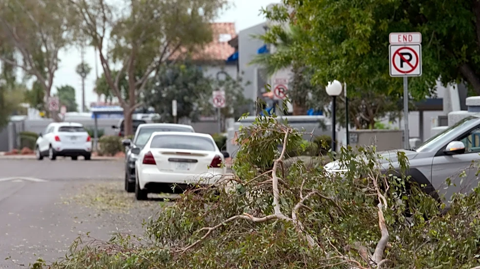
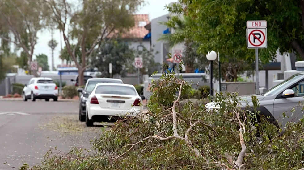
Much of the damage included downed power lines, propane bottles and tanks and people trapped in their homes. Trees were down all around as well, falling across roads and on top of homes. The most significant damage was on the southern side of State Route 260 and central portions of Overgaard, where tree and roof damage was more extensive.
The tornado warning for the storm was first sent at 7:02 p.m. Wednesday, Oct. 21, and residents say the damage began shortly after. Heber-Overgaard Fire District Chief Jason Payne said they received calls regarding a possible tornado around 7:15 p.m. that night.
Many residents, including Payne, said they didn’t get much time to prepare, around 1 to 1.5 minutes at most, before they began to hear the destruction. This prompted discussions on social media regarding whether the National Weather Service at Flagstaff registered the threat soon enough.
National Weather Service spokesperson Erica Grow Cei released a statement on behalf of the office on Friday, Oct. 23. It detailed the warnings measures that forecasters took ahead of the touchdown:
- At 6:58 p.m., a severe thunderstorm warning was issued with a "tornado possible" tag. This tag is added to strong thunderstorm cells that have evident rotation that may not be tight enough to form a tornado in that moment.
- At 7:02 p.m., the tornado warning was issued.
- Additionally, a tornado watch had been in effect that mentioned tornadoes would be possible in more intense supercells.
"Every effort is made to issue tornado warnings as soon as possible in advance of a threat," Grow Cei said, "and our work to improve tornado detection and increase tornado warning lead times is ongoing."
The tornado warning was one of 11 that the Flagstaff weather service office issued during the stormy period.
In general, tornado warnings don’t always come with much lead time, and the polygons made are usually smaller than what you might see from a severe thunderstorm warning. That’s mainly because they are smaller features and require very specific conditions. But given the danger of tornadoes, every minute counts if it gives residents the opportunity to find a safe space.
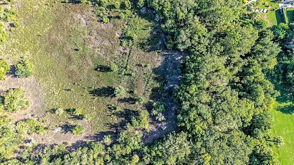
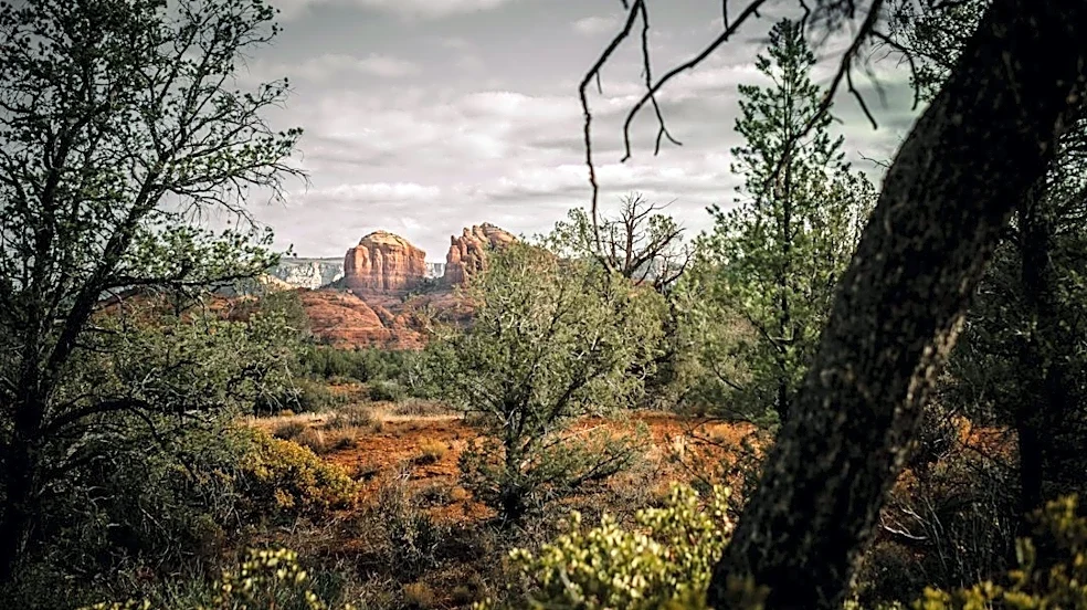
The other tornado hit Yavapai County, west of Sedona, on Wednesday between 7:32 and 7:46 a.m. on Spruce Mountain. It formed near Lookout Mountain and traveled north-northeast for about 8 miles before dissipating near Walker Road. It appears to have avoided towns and structures, but it did snap or uproot a number of ponderosa pine trees. It was also an EF1 tornado with max winds of 105 mph, and the path width was about 300 yards wide.
The weather service office in Phoenix did not have any areas of interest in central Arizona.
An event for the record books
The strength of this storm event was rare in myriad ways. Abundant warm, moist air from the tropical and subtropical Pacific Ocean combined with an anomalously strong low pressure system that dove into the southern West Coast, then moved eastward. High instability, wind shear and atmospheric moisture brought about the ripe conditions for severe weather in central, northern and eastern parts of Arizona.
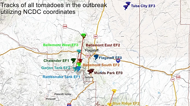
Before this event, a tornado watch had not been issued in the state since 2010. That’s the year of the last- and best-known Arizona tornado outbreak, on Oct. 6, 2010. It also was based in northern Arizona, with all of the tornadoes happening between Coconino and Yavapai counties.
There are 11 confirmed tornadoes from that outbreak, ranging from EF0 to EF3. Two were EF3, four were EF2, two were EF1 and 3 were EF0.

Arizona hasn't had an EF3 tornado since that outbreak. In fact, those are the only Arizona EF3s in the whole 21st century. The latest EF2 came just a year later, on Sept. 14, 2011.
Arizona sees only five tornadoes annually, on average. In the past decade, excluding this event, Arizona has only had 60 tornadoes; however, only 48 were ranked on the Enhanced Fujita (EF) Scale. Tornadoes that are unable to be fully confirmed due to lack of evidence (odd damage, remote setting, etc.) are marked EF-U — U is for unknown. They are assumed to be on the weaker end in these events.
Regardless, this is a fraction of tornadic activity that states in the Plains, South and Midwest see throughout the year.
Hail throughout Arizona made its mark as well, quite literally. Hail growing as much as 2 or more inches in diameter was found across northern and central Arizona as supercells passed through.
Two hail-laden supercells passed through Phoenix — the first came late night on Oct. 20, with hailstones of 1 to 1.50 inches in diameter, the second came the afternoon of Oct. 21 with up to 2-inch hailstones — catching many on the roads and highways during their commutes.
The largest hailstone ever recorded in Phoenix came from the same 2010 severe storm outbreak that dropped tornadoes in northern Arizona. That hailstone was 2.50 inches in diameter, but it's nowhere near the largest ever seen in the state. That title goes to a 4.50-inch hailstone that fell in Mayer, on Sept. 28, 1995.
Nonetheless, this new October event will be long remembered for many Arizonans. Mother Nature rewarded them afterward with beautiful weather the following week.
Meteorologist Tevian Whitehurst covers extreme weather and climate for The Arizona Republic and azcentral.com. Follow him at @TevianWX on Instagram and Facebook (Meteorologist Tevian Whitehurst).
We want to see your weather photos: Send to weatherpix@arizonarepublic.com, or on Instagram @azcentral or TikTok @azcentral. Attach your photos and tell us all about what's pictured. They may appear in an online story or in the newspaper.
This article originally appeared on Arizona Republic: 2 tornadoes confirmed in Arizona, including in Heber-Overgaard