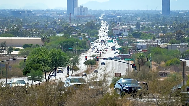






High heat is back as temperatures settle in near 110 degrees in metro Phoenix for an entire week.
A high pressure ridge has regained control over the desert Southwest, delivering sunny skies and some drier air that will limit storm chances to Arizona’s high terrains.
In central and southern Arizona, an extreme heat warning was issued for the entire work week, Monday, Aug. 17, to Friday Aug. 21. High temperatures could reach 112 degrees in metro Phoenix and 114 in the rest of Maricopa County and southwest Arizona. Overnight lows will barely fall below 90 degrees. Heat risk will be at major levels.
While most of the week is generally expected to be hot and dry, later model updates show that movement in the high pressure center toward the Four Corners
could allow for better moisture flow into the state, raising humidity and precipitation chances in the Valley.
This means a better opportunity of seeing outflow boundary winds by Wednesday evening, Aug. 19, and low storm chances by Thursday, Aug. 20. Getting enough activity could even lower temperatures by a few degrees.
Confidence in storm chances are only at about 20% for the time being.
If you struggle to find ways to stay cool, use theHeat Preparedness Network for resources across the state, or the Maricopa County heat page for more local information.
Meteorologist Tevian Whitehurst covers extreme weather and climate for The Arizona Republic and azcentral.com. Follow him at @TevianWX on Instagram and Facebook (Meteorologist Tevian Whitehurst).
We want to see your weather photos: Send to weatherpix@arizonarepublic.com, or on Instagram @azcentral or TikTok @azcentral. Attach your photos and tell us all about what's pictured. They may appear in an online story or in the newspaper.
This article originally appeared on Arizona Republic: Phoenix heat warning stretches through Friday. Here's what's happening