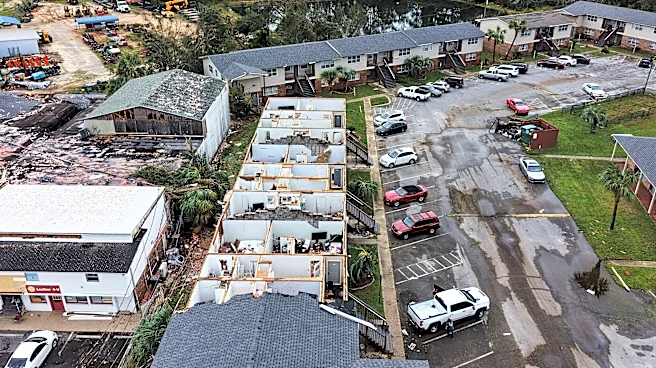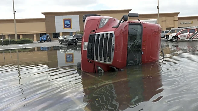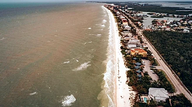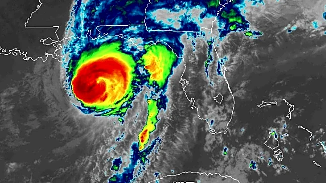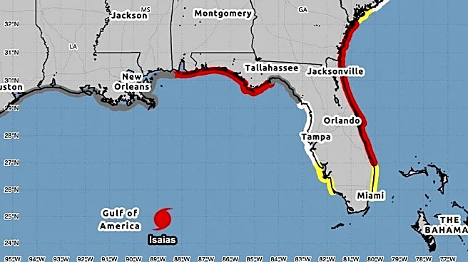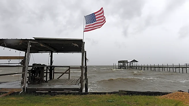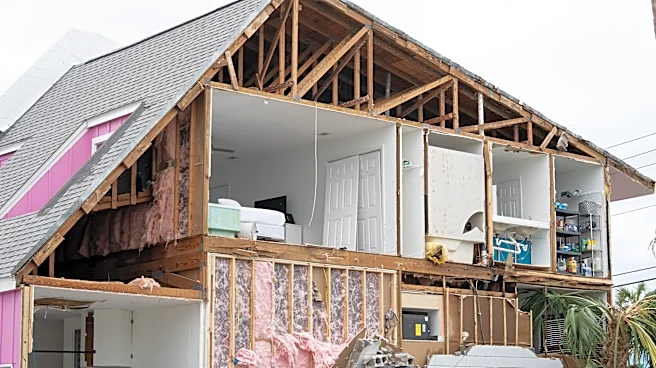




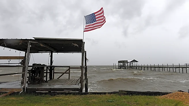
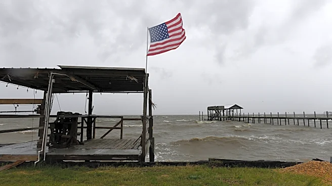
Isaias did things hurricanes don't, hurling a ruin in the wrong place that snapped pines like pencils and pried sides and ceilings from homes that were opposite of the so-called dirty side of the hurricane.
Climatological tradition says areas east of the Oct. 9 Destin landfall should be rended the worst from winds
, but an unusual atmospheric anomaly for a tropical system pushed the height of tumult to the west.The phenomenon, called a sting jet because of its comma or scorpion tail appearance on radar imagery, is more typical in non-tropical winter storms.
But it can also happen when a hurricane begins its transition to non-tropical and ingests dry air into the back of its counter-clockwise swirl that erodes and evaporates moisture in the storm.
Evaporation makes the air cooler and denser, forcing it to fall to the surface while sucking the higher velocity hurricane winds from a couple miles up with it.
The results were wind gusts of 117 mph near Oriole Beach east of Pensacola Beach, 116 mph at Santa Rosa Sound, 105 mph in Navarre and 102 mph at Pensacola City Hall.
“It’s something we didn’t even know about until the 1980s,” said MyRadar Weather senior meteorologist Mathew Cappucci, who alerted to the possibility of a sting jet occurring several days ahead of Isaias’s Category 2 landfall. “Weather models struggle to simulate them a couple days out and it’s still a rare thing.”
Cappucci said it happened in 2024’s Hurricane Milton as it came ashore as a Category 3 on Oct. 9 near Siesta Key on the west coast, ripping the fabric roof off Tropicana Field Stadium.
Hurricane Isaias timeline: Evolution of the rare 'sting jet'
At 5:36 p.m. Central Time ahead of Isaias’s landfall, Cappucci said he sent a push alert from the MyRadar app telling people in Pensacola to prepare for a stinger jet that would cause wind gusts to between 80 and 100 mph.
The gust at Pensacola City Hall was measured at 6:29 p.m.
The National Weather Service issued a rare extreme wind warning for the western Panhandle, including Pensacola, at 5:45 p.m. Central time. The warning is meant to trigger a tornado-like response for people to seek shelter in an interior room.
“It was fierce,” said Christian Wagley, who lives near downtown Pensacola about Isaias. “I was very, very surprised at what happened.”
Wagley said once Isaias shifted east closer to its ultimate Destin landfall, he thought he’d be on the weaker side of the system, which is usually the case. Instead, they had triple-digit gusts.
Most of the damage he’s seen is from downed trees, and at midday Monday, Oct. 12, he was still without power.
“We love our trees, but if there had been no trees, there really would not be an issue,” Wagley said. “The storm moved so fast, that the bad stuff didn’t last that long.”
Some meteorologists said Monday they weren’t prepared to attribute the damage to a pure sting jet, and that other atmospheric machinations may have been going on with the storm that could have contributed to the high gusts.
Andy Hazelton, a scientist at the University of Miami’s Cooperative Institute for Marine and Atmospheric Studies, said whether it was an actual sting jet will likely be explored in future research.
'Wildest things I have experienced': Isaias was colder than normal storm
But that the process and result was similar with sinking air pulling stronger winds to the surface.
Another unusual feature of Isaias was that many people on social media reported temperatures falling as if the icy cloud tops themselves fell to Earth.
Mark Suddduth, a veteran storm tracker with Fox Weather, commented that Isaias was the “coldest by far” of the hurricanes he’s followed.
AccuWeather hurricane expert Alex DaSilva said the cooler air makes sense to the west of the storm if there is something similar to a sting jet happening with evaporative cooling pulling down cold air aloft.
At the same time, Weather Channel meteorologist Jim Cantore, posted an image that showed a nearly 10-degree warmup during a 91-mph wind gust at Choctaw Beach northeast of where Isaias made landfall.
“This was one of the wildest things I ever experienced on tropical coverage,” Cantore wrote on X.
“In situations like this you have a lot of really weird atmospheric effects going on that we really don’t know a lot about yet,” Cappucci said. “As a field, we are still at the early stages of understanding what there is to know about the core of a hurricane.”
Kimberly Miller is a journalist for the USA TODAY NETWORK FLORIDA. She covers weather, the environment and critters as the Embracing Florida reporter. If you have news tips, please send them to kmiller@pbpost.com. You can get all of Florida’s best content directly in your inbox each weekday by signing up for the free newsletter, Florida TODAY, at palmbeachpost.com/newsletters.
This article originally appeared on Palm Beach Post: Isaias wasn't your average hurricane as rare phenomenon hit west of eye