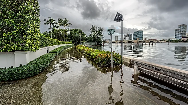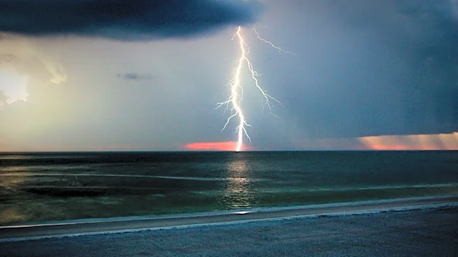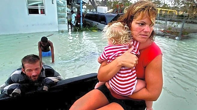

As most coastal states begin to throttle back their hurricane fears in October, Florida is historically dogged deepinto the month by tempests rooting in the summer-warmed waters of the Gulf and western
Caribbean.
Brutes such as 2005’s Wilma, 2018’s Category 5 Michael and 2024’s Milton all took advantage of seasonal shifts that make the Sunshine State a target well into autumn.
And while the 2026 hurricane season has been an astonishing exception to climatological rules with no hurricanes through September, sneaky storms brewing closer to home remain a possibility.
“You’ve still got the main ingredients you need to generate a hurricane,” said Weather Underground co-founder Jeff Masters, who writes for Yale Climate Connections. “The ocean waters are very warm down there, and you stick out. That’s the biggie.”
Part of Florida’svulnerability is geography. It dangles closer to the Caribbean than any other state, with its string of Keys nearly touching the Tropic of Cancer. Surrounded by water, a tropical cyclone can approach from the Gulf of Mexico or the Atlantic.
Part of it is seasonal. During the budding days of hurricane season storms foment along lingering cold fronts that droop into the Gulf of Mexico, now referred to as the Gulf of America by the U.S. Government. It’s a time when Saharan dust and cool water dims hurricane chances in the bowling alley between Africa and the Caribbean and when tropical waves are still mustering strength before rolling off the continent in force.
By mid-October, the often busy runway in the tropical Atlantic gets muzzled by wind shear, leaving storms to grow in the sizzle of the Caribbean and Gulf. Once in the Gulf, fall cold fronts can pick storms up and fling them toward Florida.
“Milton was a tropical storm in the Pacific that crossed over Mexico and then formed,” said Andy Hazelton, a scientist at the University of Miami's Cooperative Institute for Marine and Atmospheric Studies. “But you can also have waves that do nothing until they get to the Caribbean where the water is still warm and then they move up to Florida.”
How many hurricanes have hit Florida in October?
Since 1851, Florida has had 39 hurricanes make October landfalls, according to NOAA's historical hurricane track mapper.
That's three times higher than second-place Louisiana.
Most of Florida’s October troublemakers have no name, forming before storms were given monikers. But people still remember Irene in 1999 that made landfall in the Keys and maintained hurricane strength through its exit near Port Salerno.
In 1995, Opal blustered into Pensacola in early October as a Category 3 hurricane. Category 2 Gladys made landfall north of Tampa near Homosassa Springs in 1968.
Another notable October storm was 1950's Hurricane King, which developed in the western Caribbean, crossed Cuba and came in south of Miami as a Category 4 storm in the early hours of Oct. 18.
An article in the Miami Herald said King “jumped on Miami with the speed and viscousness of a cobra.”
Rick Knabb, a hurricane expert with The Weather Channel, said several October hurricanes that made landfall in Florida have formed quickly, giving less notice of their intent.
“Think of Wilma, Michael and Milton, they didn’t form way out in the central tropical Atlantic,” Knabb said. “Milton was in the southwest Gulf, Michael was in the western Caribbean, so was Wilma, and we did not have a lot of time between when they formed and when they hit.”
Knabb noted another factor in October hurricanes — the Central American Gyre. The gyre is an area of low pressure near the Yucatan Peninsula that bookends hurricane season but is most potent in the fall when waters are warmest.
Remnants of a gyre helped spawn 2024’s Hurricane Milton.
Milton’s Oct. 9 landfall on Siesta Key was Florida’s most recent October hurricane. Its path of destruction included an estimated 45 tornadoes in Central and South Florida, storm surge of up to 9 feet in areas from Venice to Boca Grande, and 20 inches of rain near St. Petersburg.
Storm surge from the Gulf near Manasota Key was "moving extremely fast and the wave action was tremendous, leading to the 'blowout' of the first floor of many structures," the National Hurricane Center wrote in its report on Milton.
Milton replaced the name Michael, which was removed from the hurricane list after its Cat 5 landfall near Mexico Beach. Milton was also retired because of the damage it wrought. It was replaced with Miguel, which is on the 2030 hurricane name list.
Wilma, still the most intense hurricane in the Atlantic basin based on a minimum central pressure of 882 millibars, hit Florida near Cape Romano on Oct. 24, 2005 as a Category 3 storm.
Wilma produced 10 tornadoes, tossed hundreds of railroad cars from their tracks in Clewiston, left more than 6 million Floridians without electricity, blew trailer parks to bits and blasted windows out of condos on A1A.
A week after landfall, Halloween events across South Florida were cancelled as residents dealt with spotty electricity, debris-cluttered streets and curfews.
“Here we are ending September heading into October, and people might be shrugging their shoulders thinking El Niño is keeping all the hurricanes away,” Knabb said. “That doesn’t mean we can’t get something that quickly spins up sometime this month.”
Kimberly Miller is a journalist for the USA TODAY NETWORK FLORIDA. She covers weather, the environment and critters as the Embracing Florida reporter. If you have news tips, please send them to kmiller@pbpost.com. You can get all of Florida’s best content directly in your inbox each weekday by signing up for the free newsletter, Florida TODAY, at palmbeachpost.com/newsletters.
This article originally appeared on Palm Beach Post: Why October is still a significant hurricane threat for Florida